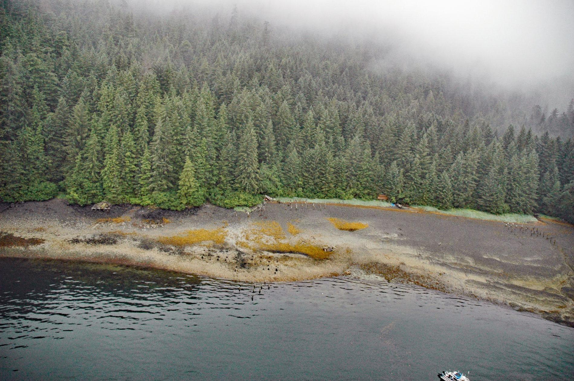
Gambier Bay is the site of an infamous shipwreck and a historical salmon cannery operated by Admiralty Trading Company near Stephens Passage on the east coast of Admiralty Island, about 61 miles ( km) northwest of Petersburg and 59 miles (km) south-southeast of Juneau, Alaska. The name originates from Point Gambier which forms the northern entrance to the bay and was named in 1794 by Captain George Vancouver after Vice Admiral James Gambier of the Royal Navy who participated in the capture of Charleston, South Carolina during the American Revolutionary War. Admiralty Island was also named by Vancouver in honor of The Admiralty, a department of the Government of the United Kingdom responsible for the command of the Royal Navy. Many of the embayments on Admiralty Island are oriented in a northwestward direction reflecting the dominant strike of the foliation or bedding in the rocks. The bedrock surrounding and shaping Gambier Bay is formed by the Gambier Bay Formation composed of schist and marble that formed from metamorphosed greywacke, siltstone, limestone, and volcanic rocks during the Devonian period about 400 million years ago. The formation is part of the Alexander terrane, a tectonic accretion that was transported from an equatorial environment to its present location where it has been for about the last 100 million years and subsequently shaped by many glaciation episodes over the last 3 million years.
In 1890, a regional census showed a Tlingit village on the north shore of Gambier Bay with 8 residents. In 1900, a gold-copper prospect was staked in the headwaters of the bay based on small amounts of chalcopyrite and gold found in quartz veins in schist and limestone. In 1912, the Admiralty Trading Company built a salmon cannery at the site of the village. The village was home to a Taku Tlingit ixt’, or shaman, named Too-Tsao or ‘Gambier Bay Jim‘. He combined his duties as the village shaman with those of a cannery worker. He fished for the Admiralty Trading Company and was respected as an employee and successful in the cash economy that the cannery brought to the area. In 1913, Too-Tsao was arrested for placing a spell on the cannery that stopped the machinery. His court-appointed attorney convinced the judge that he was not guilty of any criminal occult practices but had merely initiated a labor strike among the other cannery workers. In 1915, the cannery was sold to Hoonah Packing Company and operated until 1923. In 1924, there were two fox farms in Gambier Bay, one on Gain Island and the other on Price Island, located about 2 miles (3.2 km) and 4 miles (6.4 km) respectively from the cannery, that operated until World War II.
During the years of cannery operation, the only charts of Gambier Bay were based on cursory surveys made in 1889. Vessel captains were well aware of the hazards and took extreme precautions to guard against accidents. When they enter the bay for the first time they carefully felt their way in noting the track they followed and in subsequent visits, they followed the same track. In this way, numerous visits were made to Gambier Bay without mishap. In 1913, the steamship State of California was bound from Puget Sound for Juneau with passengers, mail, and freight and made a quick stop at the cannery in Gambier Bay. After pulling away from the cannery dock at low tide, Captain Thomas H. Cann, Jr. steered a course thought to be clear of hazards. Steaming at 13 knots (24 kph), the massive liner passed over a submerged pinnacle that ripped a hole in the hull. The vessel passed over the rock without stopping and into deep water. Despite efforts to run the liner onto the beach, the State of California sank with the loss of 31 lives. The shipwreck was located by sport divers in the 1960s when the purser’s safe was raised and found to contain a shipment of gold pocket-watches that had been consigned to a jeweler in Skagway, and never delivered. The State of California lies upright at a steep angle, with her bow in 70 feet (21 m) of water and her stern in 210 feet (64 m). Read more here and here. Explore more of Gambier Bay and Admiralty Island here:

