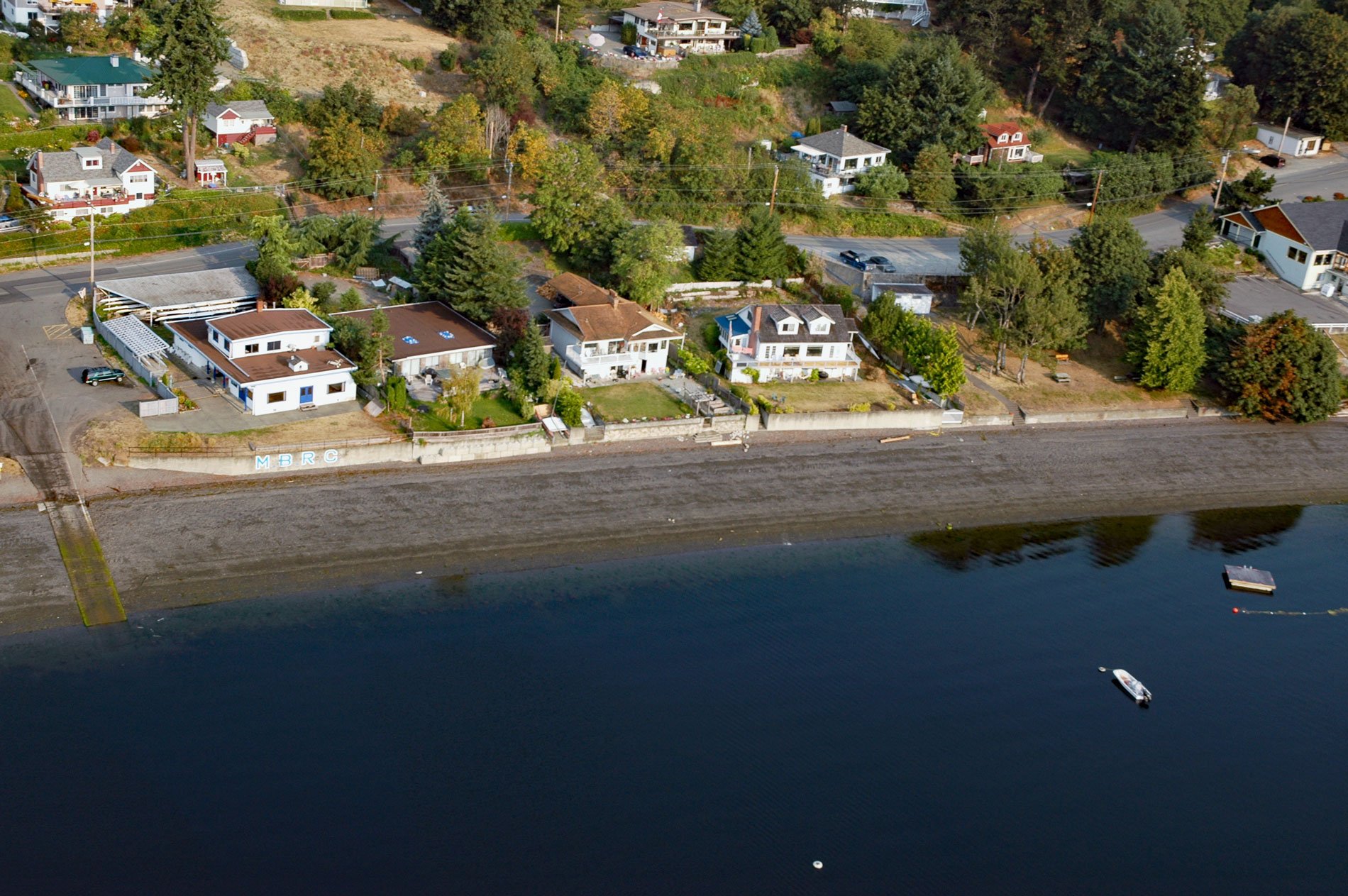
Maple Bay is a community located on Sansum Narrows, an inlet in the Salish Sea that separates Vancouver Island from Salt Spring Island, about 29 miles (47 km) northwest of Victoria and 28 miles (45 km) southeast of Nanaimo, British Columbia. Maple Bay lies within the Cowichan Valley, a coastal plain that includes the Cowichan and Chemainus River deltas. The name Cowichan may be an anglicized form of the Coast Salish tribal name Quw’utsun.
Coast Salish oral history tells of a climactic maritime battle that was fought at Maple Bay in the mid-1800s between an alliance of Coast Salish people from the Gulf of Georgia and Puget Sound, and the Lekwiltok from the Johnstone Strait, a group infamous for their ferocity and belligerence. The conflict was because of repeated raids by the Lekwiltoks on Coast Salish villages. This battle is of particular significance because it concerns a moment of extensive Coast Salish unity, a feature that twentieth-century ethnographers have noted as generally absent among the Coast Salish.
The battle involved warriors in scores to hundreds of war canoes. The night before the battle, the Lekwiltok were encamped north of Sansum Narrows. The Coast Salish alliance included 30 canoes of Snuneymuxw, 50 canoes of Cowichan, 20 canoes of Chemainus, and 30 canoes of Musqueam and Tsawwassen. Tribes from southern Puget Sound also participated including members from the Duwamish and Nisqually. Altogether over 130 war canoes carrying thousands of warriors represented the alliance. By all accounts, the Coast Salish greatly outnumbered the Lekwiltok who were ultimately defeated. Read more here and here. Explore more of Maple Bay here:

