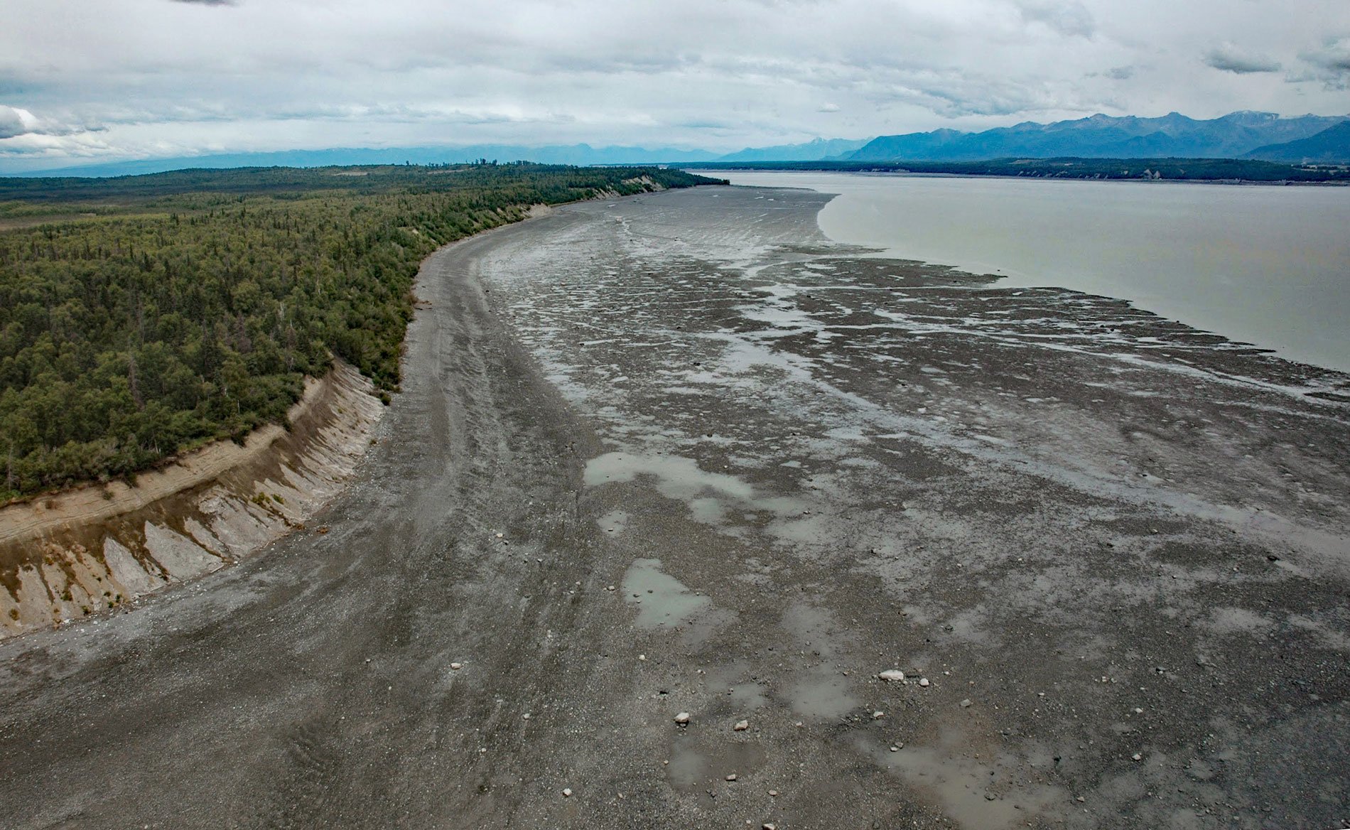
Point MacKenzie is on the northern shore of Cook Inlet, at the entrance to Knik Arm, about 15 miles (24 km) southwest of Eagle River and 3.2 miles (5 km) northwest of downtown Anchorage, Alaska. The point was named by George Vancouver on May 4, 1794, for the Right Honorable James Stuart Mackenzie, a Scottish politician and astronomer.
When Europeans began exploring Alaska in the late 18th and 19th centuries, the Upper Cook Inlet region was home to dozens of Dena’ina (Tanaina) Athabaskan villages. The people of the region were supported by the rich diversity of fish and wildlife. The Upper Cook Inlet Dena’ina called Point MacKenzie “Dilhi Tunch’del’usht Beydegh”, meaning “point where we transport hooligan”. This was a trade site where the Dghelay Teht’ana, the people of the Talkeetna Mountains, would trade with the Dena’ina of Knik Arm.
In 1968, shortly after the discovery of oil at Prudhoe Bay, a planned community called “Seward’s Success” was proposed for Point MacKenzie. The megaproject was to be a fully enclosed dome spanning and holding a community of 40,000 residents, with ample residential, office, recreational and commercial space. The temperature would have been controlled at 68 °F (20 °C) year-round. The glass shell would have been designed to work like a greenhouse in maintaining the temperature. Energy to power the community would be generated through natural gas available on-site. The idea was abandoned in 1972 following a delay in the development of the Trans-Alaska Pipeline System. The name alludes to “Seward’s Folly”, an popular epithet for the 1867 Alaskan Purchase advocated by Secretary of State William H. Seward. Read more here and here. Explore more of Point MacKenzie here.

