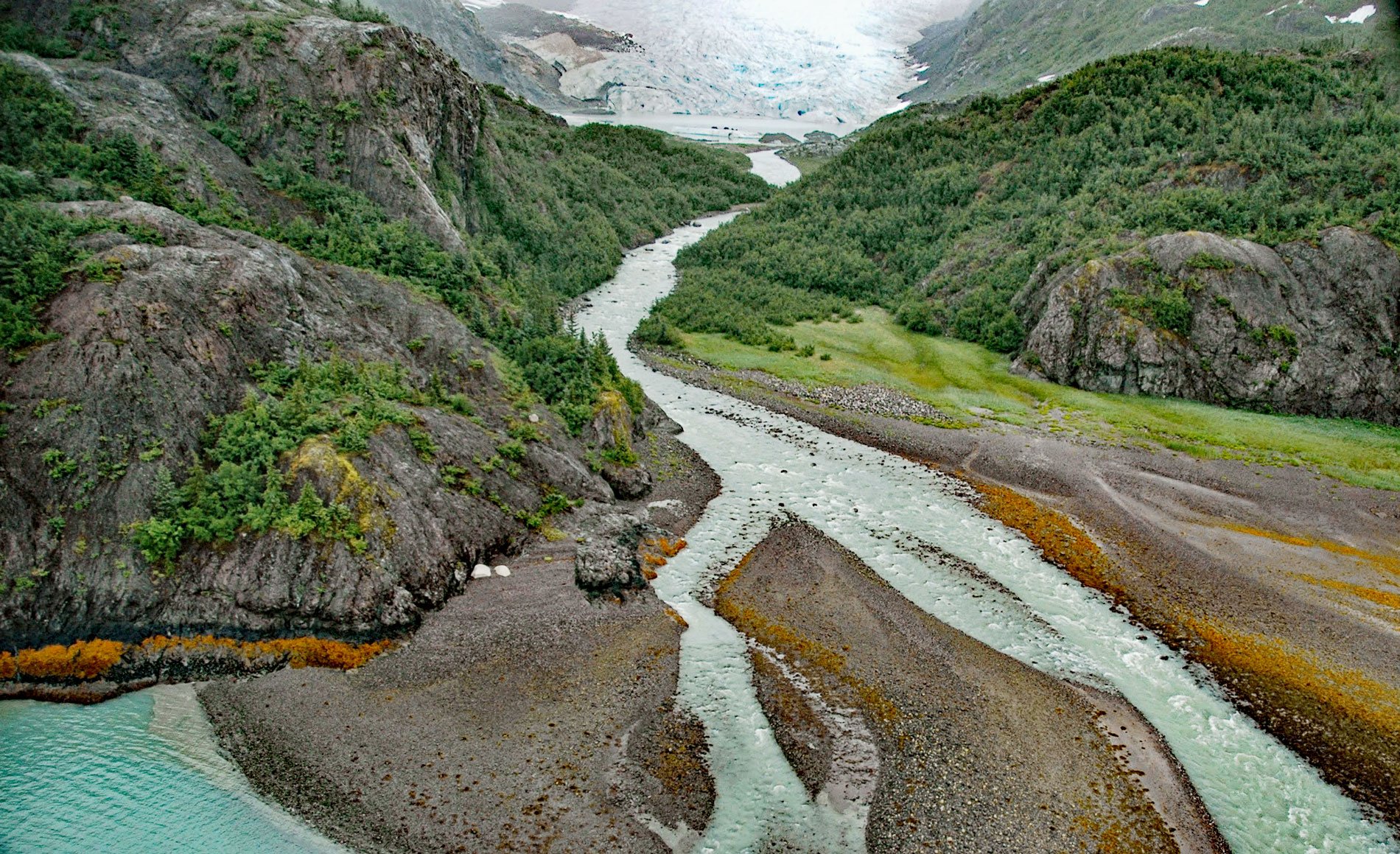
Falling Glacier starts at the northwest end of the Sargent Icefield in the Chugach Mountains and flows northwest for 3 miles (4.8 km) to the eastern shore of Kings Bay, about 39 miles (63 km) northeast of Seward and 20 miles (32 km) south-southeast of Whittier, Alaska. The glacier was named in 1910 by U.S. Grant for its appearance of “falling”.
Kings Bay is a fjord on the eastern coast of the Kenai Peninsula that extends west and southwest for 12 miles (19 km) from the head of Port Nellie Juan. The fjord was named in 1908 by U.S. Grant of the U.S. Geological Survey for Mr. King, a prospector who lived at the mouth of Kings River. Port Nellie Juan trends southwest for 18 miles (29 km) from Prince William Sound to Kings Bay. Port Nellie Juan was discovered in 1887 by Samuel Applegate, who commanded the schooner Nellie Juan.
In 1980, Congress directed the U.S. Forest Service to study this area and report on the suitability of all or part of the bay as federal Wilderness under the 1964 Wilderness Act. In 1984, the Forest Service recommended to Congress that most of the 2.1 million acres (849,839 ha) of western Prince William Sound be designated the Nellie Juan-College Fjord Wilderness. The Forest Service agreed to manage the area as if it were wilderness until Congress was able to act. Read more here and here. Explore more of Falling Glacier here:

