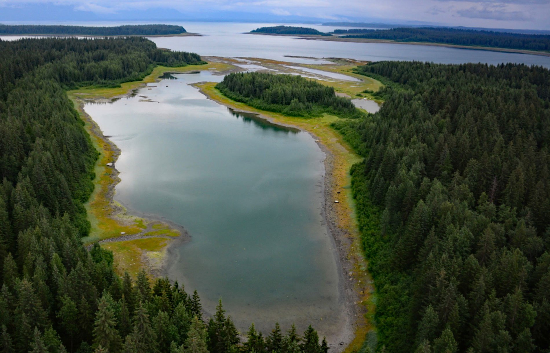
Berg Bay is in Glacier Bay National Park and Preserve, and extends west for 4 miles (6.5 km) off Sitakaday Narrows near the mouth of Glacier Bay, about 38 miles (61 km) northwest of Hoonah, and 18 miles (29 km) northwest of Gustavus, Alaska. The name was first published as “Berg Inlet” by the U.S. Coast and Geodetic Survey in 1883.
Lars Island and Netland Island are at the entrance to Berg Bay. The islands were named in 1939 for Lars Netland, who was a member of the International Boundary Commission from 1904-1910. Netland aided in the reconnaissance survey of Berg Bay in 1907. He was born in Norway and came to the United States in 1889. After going to the Klondike in 1898, he did surveying work in Dawson. From 1900 to 1903 he was chief of a Canadian exploration party in the Yukon Territory.
One of the few private inholdings in Glacier Bay National Park is located at the head of Berg Bay. The inholdings are Native Allotments owned by the Hoonah Indian Association. The property is located on both the north and south banks of the North River. Only officials from the State of Alaska, Department of Interior, and National Park Service law enforcement rangers have authorized access. Read more here and here. Explore more of Berg Bay here:

