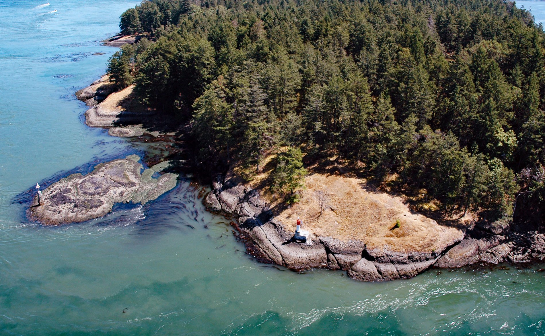
Helen Point is located on the northwestern corner of Mayne Island and has a light and range marker to aid navigation through Active Pass, about 32 miles (52 km) southwest of Vancouver and 14.5 miles (23 km) north-northeast of Sidney, British Columbia. Helen Point Peninsula contains the oldest recorded remains of human settlement in the Southern Gulf Islands.
Mayne Island is about 5,184 acres (2,098 ha) and located in the southern Gulf Islands midway between the lower mainland and Vancouver Island. The highest point on the island is Mount Parke with an elevation of 837 feet (255 m). Characteristic features of the island are low wooded ridges separated by narrow valleys. During the Pleistocene, the island topography was affected by glacial erosion and by deposits of glacial and fluvioglacial sediments.
Archaeological excavations at Helen Point provide evidence of three distinct occupations of the site in pre-historic times, punctuated by periods of abandonment, with the earliest probable occupation estimated at 5,000 years ago. Today the peninsula is the Helen Point Reserve of the Tsartlip band of Saanich First Nation. Read more here and here. Explore more of Helen Point here:

