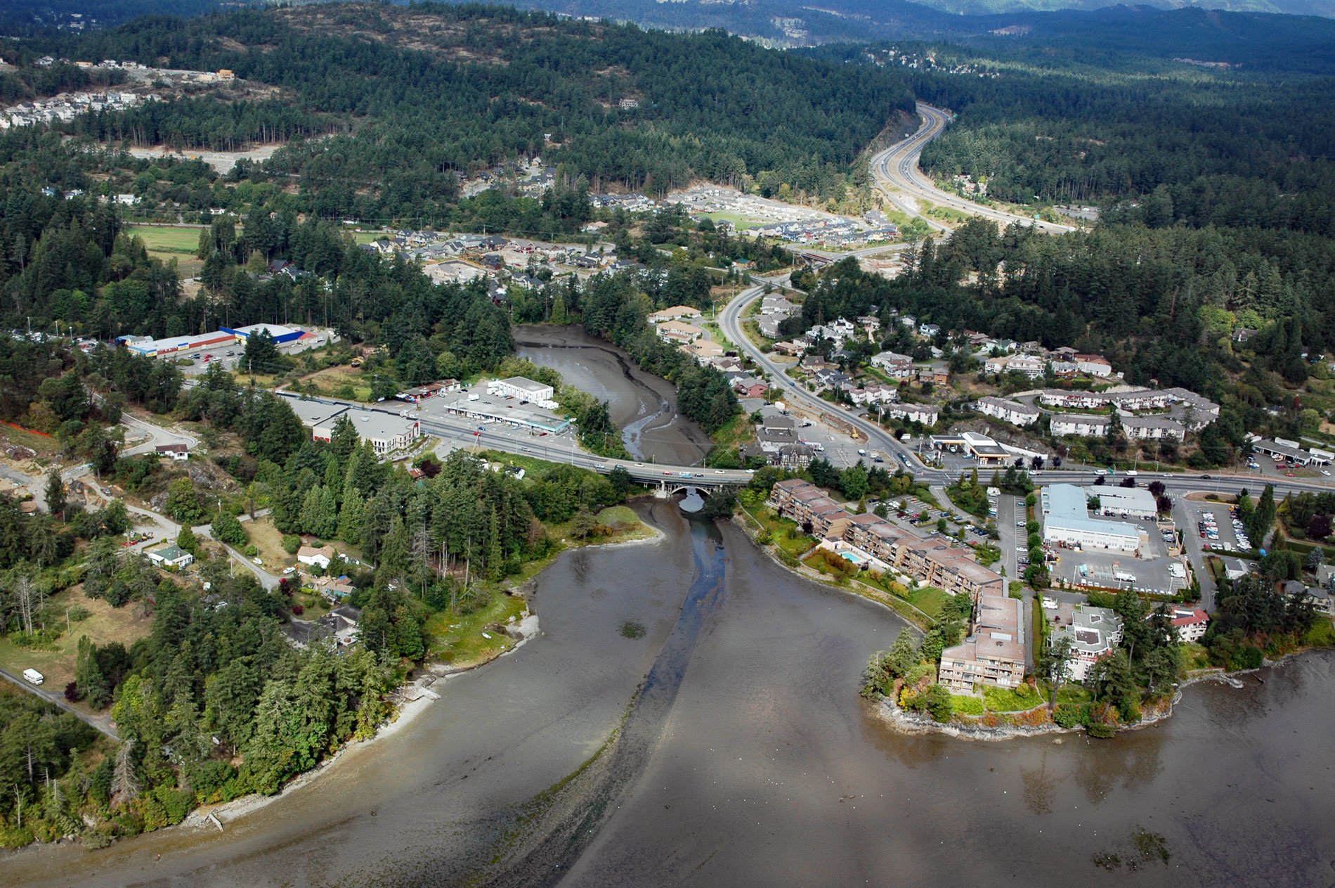
Millstream Creek is a salmon-bearing stream that drains a watershed with an area of 6,424 acres (2,600 ha) of lakes and wetlands over a distance of 8 miles (12.5 km) before it flows into a tidal estuary in Esquimalt Harbour, about 4.8 miles (7.7 km) northwest of Victoria and 1.8 miles (3 km) east of Langford, British Columbia. The creek was named for a sawmill that provided the lumber needed to build a new Hudson’s Bay Company fort and trading post at Victoria harbour.
In 1843, James Douglas selected the Victoria harbour as the location for a new fort. The lumber for the fort’s initial construction was rough-sawn by hand. Douglas charged Roderick Finlayson with the task of finding a location for a sawmill. After some exploration, Millstream Creek, which fed Esquimalt Harbour, was selected. In September 1848, the mill was completed, and in November the first lumber was cut when there was sufficient water flowing to power the mill. However, the flow in Millstream Creek was not strong enough to power the mill in all seasons and nearby Thetis Lake was too far to divert additional water into the creek. In 1853, the Millstream sawmill was replaced by a saw and flour mill driven by a 7 horsepower steam engine imported from Scotland.
Today, Millstream Creek is bordered by private property and land care practices of those landowners largely determine the health and functionality of the watershed ecosystem. Millstream Creek provides habitat and a connective corridor from Gowlland-Tod Park to the Strait of Juan de Fuca that is important for the movement of wildlife and propagation of native plants. The creek and its associated wetlands also reduce storm water flows and improve water quality. Read more here and here. Explore more of Millstream Creek here:

