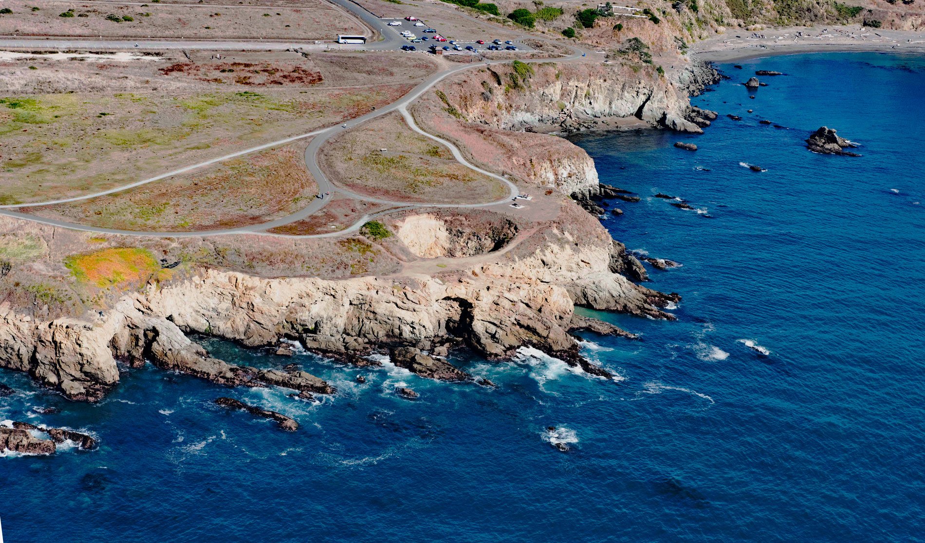
Skips Punchbowl is a littoral sinkhole along the California Coastal Trail in Mendocino County, located on the Noyo Headlands about 1 mile (1.6 km) south-southwest of Fort Bragg and 0.6 miles (1 km) west of Noyo, California. This section of coastline has been off-limits to the public and locked behind lumber mill gates for over a century but is now a park accessible by a new trail.
In 1856, this headland was historically part of the 25,000 acres (10,117 ha) Mendocino Indian Reservation. This was one of the early reservations established in California by the Federal Government for the resettlement of California Indians. The land was home to the Pomo, a tribe of hunter-gatherers who lived along the northern coast of California. The reservation was also occupied by the Yuki, Wappo, Salan Pomo, Southern Pomo, Whilkut, and others. In 1857, the U.S Army established Fort Bragg 1 mile (1.6 km) north of the Noyo River to maintain order on the reservation and protect the Indians and their reservation lands from settlers. In June 1862, Federal troops were withdrawn to fight in the American Civil War. In 1864, the Indians who resided on the reservation were moved to the Round Valley Indian Reservation. The Mendocino Indian Reservation was discontinued in March 1866 and the land opened for settlement three years later.
Littoral sinkholes are a product of marine erosion most typically characterized by the punchbowl. This is simply an opening to the surface formed by the collapse of the sea cave roof or gradual erosion of the sea cave chamber or passage beneath. Littoral sinkholes almost always form by erosion and collapse rather than dissolution. The cave chamber usually has a seaward entrance and the collapse tends to occur at the most distal region of the cave. Read more here and here. Explore more of Skips Punchbowl here:

