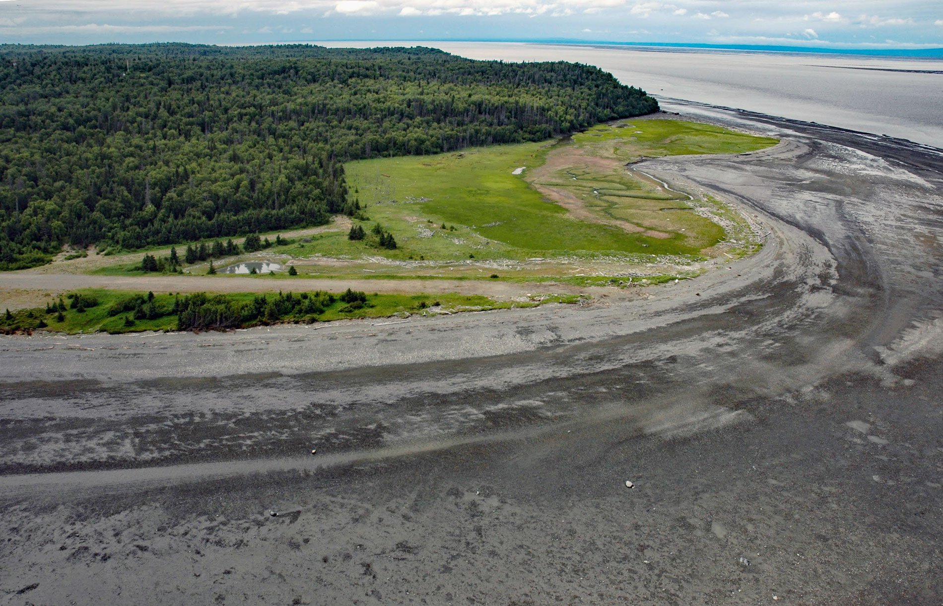
Fire Island is about 5.5 miles (8.9 km) long, located at the head of Cook Inlet within the Municipality of Anchorage, about 24 miles (39 km) northwest of Hope and 9 miles (14.5 km) southwest of downtown Anchorage, Alaska. The island was named “Turnagain Island” on April 20, 1794, by Captain George Vancouver. The Dena’ina name was published in 1847 as “Ostrov Mushukhli” or “Mushukhli Island” on Russian charts. The current name was published in 1895 by the U.S. Coast and Geodetic Survey.
Fire Island was the site of Dena’ina fish camps from 1918 until the 1970s. A Dena’ina elder reported that a village once existed on Fire Island, but sometime before 1934 an epidemic forced the survivors to move south, across Turnagain Arm, to Point Possession on the Kenai Peninsula. During World War II, the U.S. Army used the island as an observation post to guard against Japanese submarines. In 1951, the U.S. Air Force established the Fire Island Air Force Station that was staffed by about 200 personnel. The base was an air defense radar center and Nike surface-to-air missile site for the North American Aerospace Defense Command. The Federal Aviation Administration also operated an air traffic control radar and communications facility on the island. The base was closed in 1969, and all facilities removed in the 1990s. In 1982, the site was turned over to Cook Inlet Region Inc., an Alaska Native corporation, that currently owns 90% of the island with the remaining 10% belonging to the U.S. government.
Various uses have been proposed for the island, including an expansion of the Port of Anchorage or the development of industrial facilities. Although drinking-water is insufficient to support commercial or industrial development, in the early 1990s, Fire Island was determined to be a favorable location for a wind farm. Deciding factors included not just strong and steady winds, but also proximity to the Anchorage area and lack of conflicting land-use issues. In 2009, Cook Inlet Region Inc. began work on the installation, and construction of the turbines took place over the summer of 2012. On September 24, 2012, 11 turbines were connected to the Anchorage electrical grid. Read more here and here. Explore more of Fire Island here:

