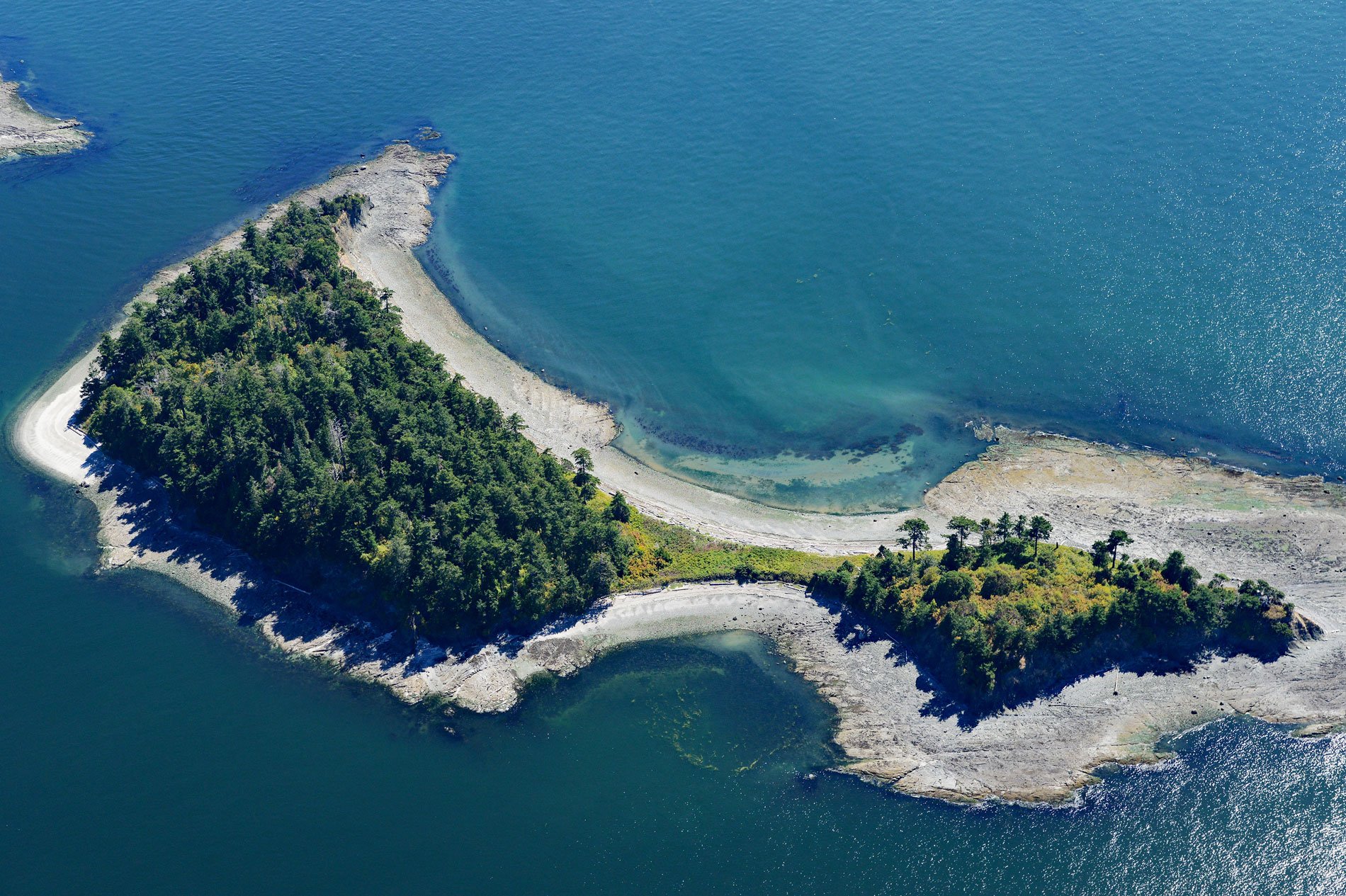
Little Sucia Island is part of an archipelago of ten islands including Sucia Island, Ewing, Justice, Herndon, Cluster Islands, and several smaller unnamed islands, about 20 miles (32 km) west of Bellingham and 3.5 miles (5.6 km) north of Eastsound, Washington. The group of islands is about 2.5 miles (4.0 km) in length and less than a half-mile wide. The largest is Sucia Island that was named by the Spanish Captain Francisco de Eliza in 1791. He named it “Isla Sucia” which means “dirty”, referring to the many reefs and hidden rocks that made for dangerous navigation.
The isolated coves and bays of Sucia Island once served as seal hunting grounds for the Lummi Natives. In the 19th century, they provided excellent hideouts for smugglers of illegal Chinese laborers, as well as for hiding illegally imported wool and opium. The islands also provided refuge for smugglers during liquor Prohibition of the 1920s and 1930s, and more recently for drug trafficking. The cluster of Sucia Islands was purchased in 1960 by the Puget Sound Interclub Association and later donated to the State of Washington for protection as a Marine State Park.
Sucia Island Marine State Park is 814 acres (329 ha) with 77,700 feet (24 km) of shoreline. The park offers camping and vessel moorage; however, there are no services or amenities. The islands are well known for fossils and Fossil Bay on Sucia Island was named for the seashells and fossils of marine invertebrates embedded in the sandstone that was once part of the seafloor at the approximate latitude of Baha California. In 2012, a femur bone from a theropod dinosaur was discovered on the island. Read more here and here. Explore more of Little Sucia Island here:

