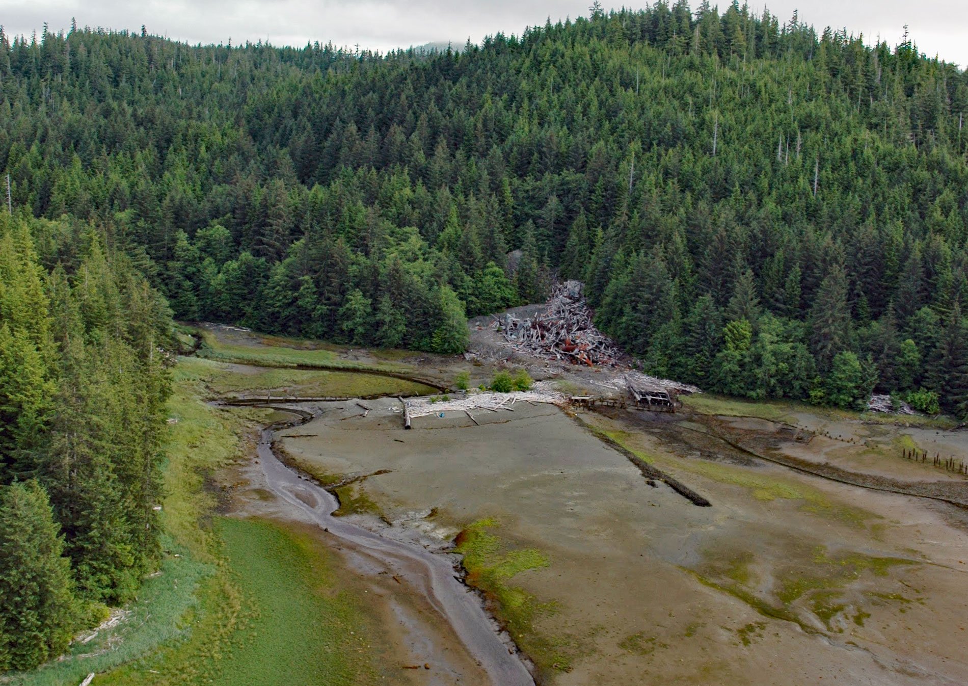
Salt Chuck is a historical mining village at the head of Kasaan Bay on the eastern coast of Prince of Wales Island, about 39 miles (63 km) northwest of Ketchikan and 4.5 miles (7.3 km) southwest of Thorne Bay, Alaska. The local name was first published in 1943 by the U.S. Coast and Geodetic Survey. The name refers to a “chuck” which is a Chinook jargon word meaning water, in this case, applied to “a salt lake that fills at high tide, sometimes with a bore, and empties or partly empties at low tide with a reverse bore or sometimes a waterfall”. A strong or dangerous chuck is sometimes called a skookum chuck where “skookum” means strong.
The Salt Chuck Mine was a gold, silver, copper, and palladium mine and mill that operated from 1905 to 1941, processing more than 326,000 tons of ore. The remnants of at least 25 mill structures are on the site. An extensive tailings deposit of an estimated 100,000 cubic yards (76,456 cu m) is located mostly in the intertidal zone south of the mill, on state-owned tidelands. As with other abandoned mines, the sources of contamination at the mill area are a result of standard practices from an era before environmental regulations, when mines operated without today’s permits and reclamation requirements.
In 2010, the Environmental Protection Agency added the Salt Chuck Mine to the Superfund National Priorities List. The contaminants from the Salt Chuck Mine included polychlorinated biphenyls (PCBs), copper, lead, mercury, selenium, vanadium, nickel, arsenic, petroleum, and polycyclic aromatic hydrocarbons. In 2011, a remediation program was started that concluded in 2018. Read more here and here. Explore more of Salt Chuck Mine here:

