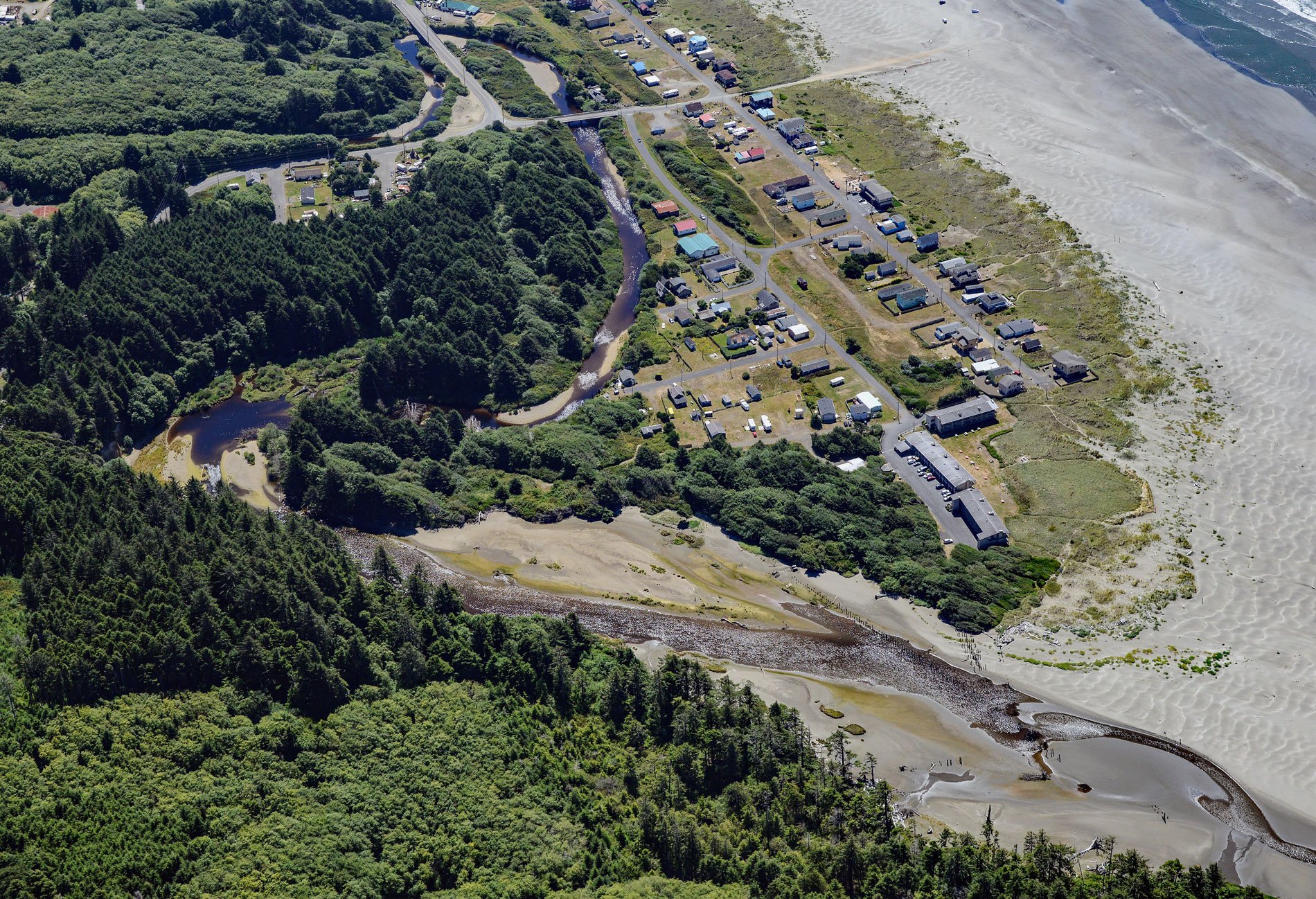
Moclips is a coastal community located between the south shore of the Moclips River and Mocrocks Beach. It is situated about 83 miles (134 km) west of Tacoma and 27 miles (44 km) northwest of Aberdeen, Washington. With its stunning natural surroundings and rich history, Moclips offers a unique destination for travelers. The name ‘Moclips’ comes from the Quinault word meaning ‘large river or stream,’ as described by linguist William O. Bright. However, another interpretation by Edmond S. Meany suggests that it refers to a place where girls approaching puberty were sent. The Moclips River originates on the slopes of MacAfee Hill in the Coast Range and flows west for 12 miles (19 km) until it reaches the Pacific Ocean.
Moclips has a history that dates back to the early days of homesteading. It wasn’t until 1905, with the completion of the Northern Pacific Railway, that Moclips was officially incorporated as a town. One of the prominent landmarks of the town was the Moclips Beach Hotel, a three-story structure that stood tall above the dunes. Moclips was known for its healing properties and was promoted as a medicinal health resort, offering city dwellers a tranquil escape. Over time, the town flourished, hosting a variety of establishments including restaurants, hotels, a theater, canneries, and a lumber mill. However, natural disasters took a toll on Moclips, with a Pacific storm causing significant damage to the business district and the hotel in 1911. Fires also ravaged the buildings along the beach by the end of 1913, and in 1948, a welding accident resulted in the destruction of many homes and businesses.
Mocrocks Beach, which stretches for 18 miles (29 km) from the Moclips River to the Copalis River, offers a picturesque coastal landscape. At low tide, the beach reveals an expansive sand flat that spans over 1200 feet (400 m). This intertidal area provides an ideal habitat for Pacific razor clams, prized shellfish that measure between 3 to 6 inches (8 to 15 cm) in length. Both commercial and recreational harvesters are drawn to the abundance of these highly desirable clams. Read more here and here. Explore more of Moclips and Mocrocks Beach here:

