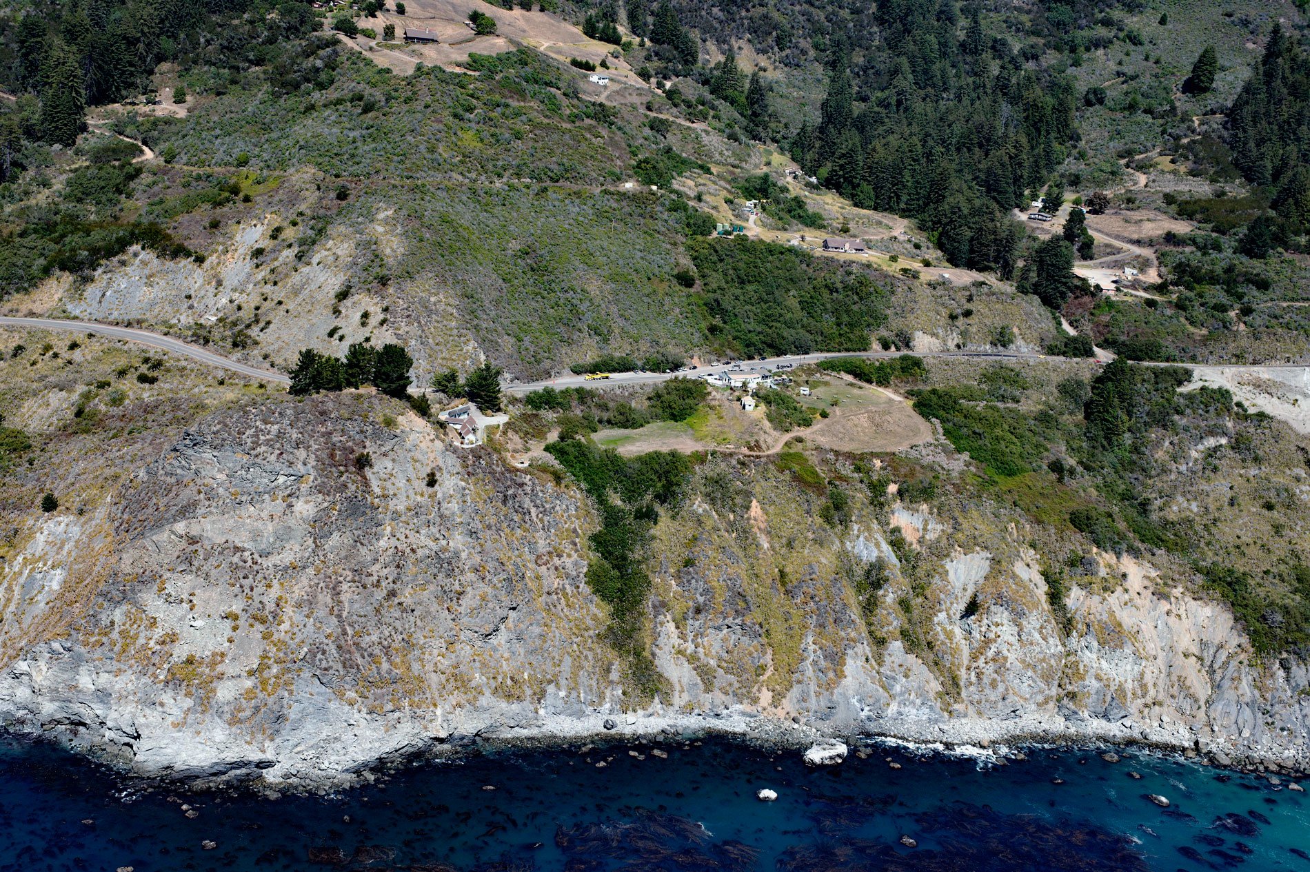
Lucia is a community in Monterey County located at an elevation of 354 feet (108 m) on the Big Sur coast, about 43 miles (69 km) south-southeast of Monterey and 8.5 miles (14 km) north-northwest of Plaskett, California. Lucia is named after the adjacent Santa Lucia Mountains. In 1602, Sebastián Vizcaíno was tasked by the Spanish to complete a detailed chart of the Alta California coast. Passing by the range around December 14, he named the range Sierra de Santa Lucia in honor of Saint Lucy of Syracuse, for whom many Christians celebrate a feast day on December 13. Lucia is one of three small roadside settlements on the Big Sur coast with restaurants and motels. The other two are Gorda and Ragged Point, and all are located along State Route 1 at the base of the Santa Lucia Mountains.
The rugged Santa Lucia Mountains or Santa Lucia Range extend southeast from Carmel for 140 miles (230 km) to the Cuyama River in San Luis Obispo County and presented a barrier to early Spanish explorers of the central California coast. The range is never more than 11 miles (18 km) from the coast and forms the steepest coastal slope in the contiguous United States. Cone Peak at 5,158 feet (1,572 m) tall and 3 miles (5 km) from the coast, is one of the highest coastal peaks in the lower 48 states. The first European to document the Santa Lucia Mountains was Juan R. Cabrillo in 1542 while sailing northward along the coast on a Spanish naval expedition. The first European land exploration of Alta California was the Spanish Portolá expedition that camped on the coast near Ragged Point in present-day San Luis Obispo County on September 13, 1769. However, the expedition was forced to bypass the inaccessible Big Sur coast and travel inland through the San Antonio Valley.
The southern Big Sur coast, the Santa Lucia Mountains, and southern Salinas Valley were historically inhabited by the Salinian people. There were two major tribal divisions and one subgroup. From north to south, the Antoniano Salinian lived in the lower part of the Salinas Valley where the Spanish built two missions called Mission San Antonio de Padua and Mission San Miguel Arcángel. Farther south, the Miguelino Salinian inhabited the Santa Lucia Mountains between the upper course of the Salinas River near Soledad and Slates Hot Springs on the coast. There were also a Playano subgroup on the Pacific Coast in the vicinity of what is now Lucia and San Simeon. The latter group lived in conical houses made from redwood bark attached to a frame of wood and subsisted on seafood during the summer and acorns and wildlife during the rest of the year. The Salinian people were hunter-gatherers and, like most other California tribes, were organized in small groups with little centralized political structure. Following colonization by the Spanish, the Salinian population was decimated by forced labor and diseases. Read more here and here. Explore more of Lucia and Big Sur here:

