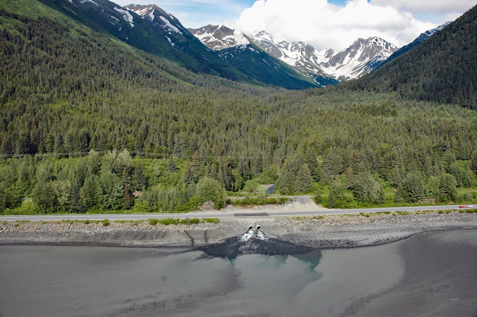
Kern Creek is between Portage and Girdwood on the northern shore of Turnagain Arm, about 35 miles (56 km) southeast of Anchorage and 16 miles (26 km) northwest of Whittier, Alaska. The stream flows southwest for 3.5 miles (5.6 km) from the Chugach Mountains. The name was used by local prospectors and reported in 1899 by Lieutenant Joseph Herron of the U.S. Army.
In 1903, a company called the Alaska Central Railroad began to build a rail line north from Seward. By 1909, the company built 51 miles (82 km) of track and went into receivership. This route carried passengers, freight, and mail to the head of Turnagain Arm. From there, goods were taken by boat at high tide, and by dog team or pack train to Eklutna and the Matanuska-Susitna Valley. In 1909, another company, the Alaska Northern Railroad Company, bought the rail line and extended it another 21 miles (34 km) northward to Kern Creek. By 1912, a town named Kern was built at the northern end of the track when the Alaska Northern Railroad was purchased by the United States government. In 1914, the government established a new headquarters at “Ship Creek” which was later called Anchorage, and began to extend the rail line northward.
The Chugach Mountains between Portage and Anchorage were an obstacle to the development of the railroad because of the extreme tide range in Turnagain Arm, the steep terrain of the rockbound coast, which combined to make winter travel extremely difficult. Snow depth indicators often show from 10 to 15 feet (3-5 m) of snowfall on the ground. Rotary snowplows propelled by two locomotives were kept in constant use from December to April to keep the tracks free of snow. At some locations, huge snow sheds anchored into the mountainside carry the avalanches over the tracks. At other locations, bulldozers were kept in readiness to clear the tracks. From 1916 to 1935, work gangs of over 100 men removed these types of avalanches from the tracks with picks and shovels. A dramatic land subsidence caused by the 1964 Alaska Earthquake destroyed much of the track along Turnagain Arm and the town of Kern. Read more here and here. Explore more of Kern Creek here:

