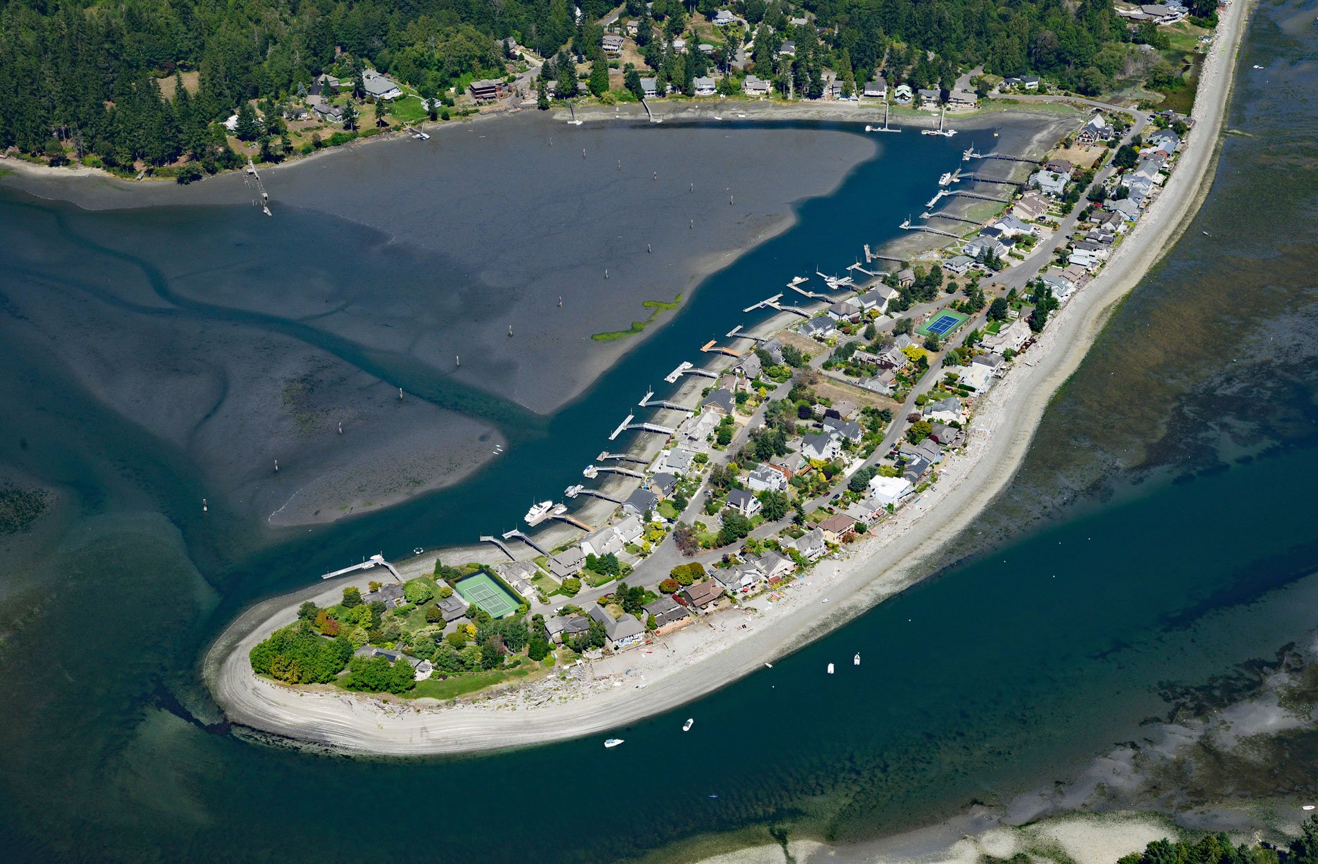
Indianola is located on the north shore of Port Madison and east shore of Miller Bay on the Port Madison Indian Reservation, about 14 miles (23 km) northwest of Seattle and 4.6 miles (7.4 km) east of Poulsbo, Washington. The land was originally allotted to KaKue of the Suquamish Indian Tribe in 1886. After his death, the land was passed on to successive heirs until 1916 when the community was established as a summer retreat.
The Indianola Beach Land Company promoted real estate sales on the land, and a dock and a store were built as amenities to attract buyers. In the early 20th century, most transportation on Puget Sound was provided by the Mosquito Fleet of small steamers. By 1918, a steamer was docking at Indianola every weekend. Daily ferry service was initiated in 1919 between Indianola Beach and Seattle. By 1929, three passenger boats left the Indianola dock for Seattle every day. The dock, which had previously only accommodated passengers, was widened and reinforced to allow auto access. In 1939, a road connected Indianola and Suquamishit, and this was the first time the community was accessible other than by boat.
The Port Madison Indian Reservation was authorized by the Point Elliott Treaty in 1855 for the Suquamish people. Other Coast Salish, including the Duwamish and Sammamish, also moved to the reservation. The land was reserved for tribal member ownership and designated for their sole use; however, a series of procedures designed to accommodate non-Indian land acquisition resulted in non-Tribal ownership of some of the land. Since the early 1990s, successful economic development has given the Suquamish Tribal government the ability to reacquire land lost during the allotment era. Read more here and here. Explore more of Indianola here:

