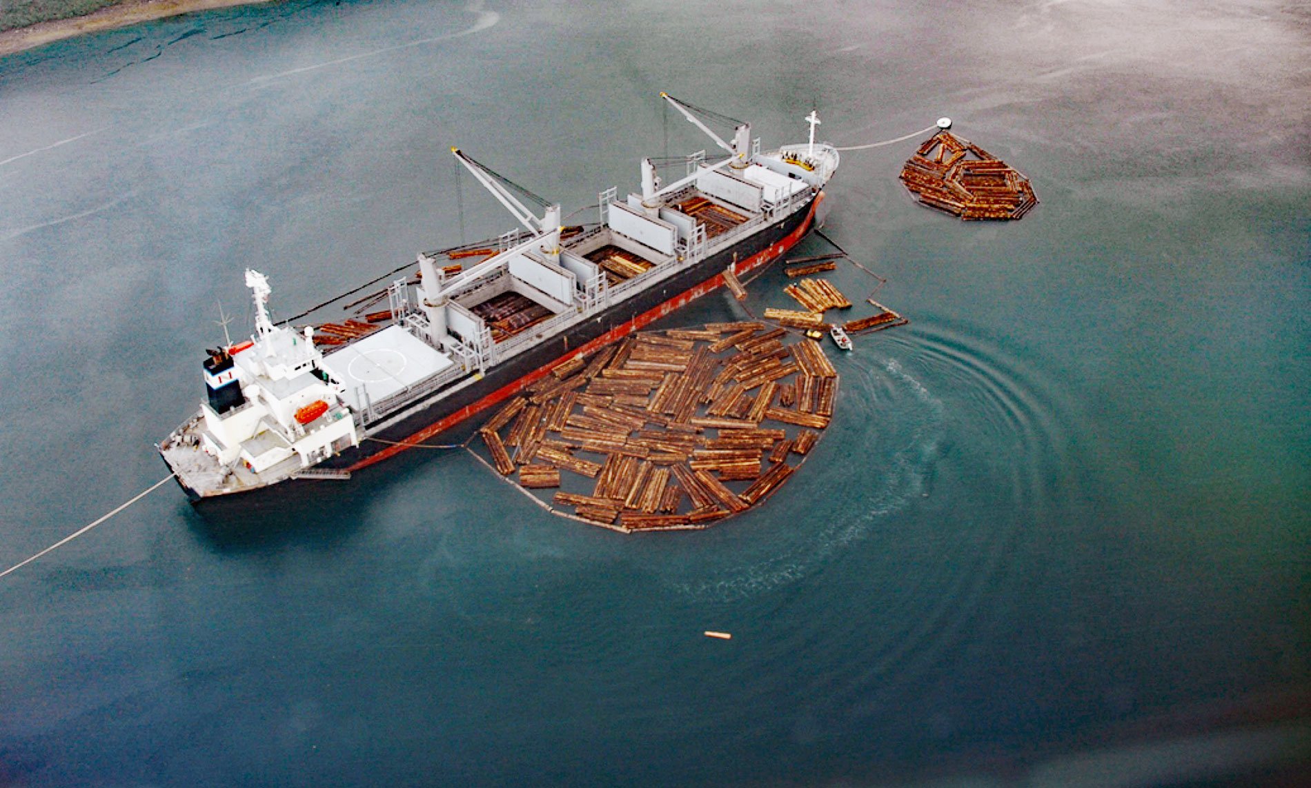
Broken Oar Cove is an embayment on the southeast coast of Yakutat Bay and the site of a logging operation, about 208 miles (335 km) northwest of Juneau and 3.3 miles (5.3 km) northeast of Yakutat, Alaska. Sawmill Cove is a southern extension of Broken Oar Cove and is used as a log dump. Yakutat Bay is about 18 miles (29 km) across and extends southwest from Disenchantment Bay to the Gulf of Alaska. The name is from the Tlingit word reported as “Jacootat” and “Yacootat” by Captain Yuri Fedorovych Lysianskyi in 1805.
Yakutat is a small coastal Southeast Alaska community on Yakutat Bay between the Gulf of Alaska and the Canadian border. Yakutat is located on a glacial moraine surrounded by coastal mountains and geographically isolated with no road access and the population relies on logging and fishing for income. In 1971, the Alaska Native Claims Settlement Act was passed by the U.S. Congress to resolve long-standing issues surrounding aboriginal land claims in Alaska, as well as to stimulate economic development throughout the state. The settlement established Alaska Native claims to traditional lands by transferring titles to twelve Alaska Native regional corporations and over 200 local village corporations. The Yak-Tat Kwaan Corporation based in Yakutat received 23,000 acres (9,300 ha) of land. Some of this land was logged in the 1950s and about 3,000 acres (1,214 ha) now have commercially valuable second-growth forests.
Timber harvest in Southeast Alaska began in the early 1900s and became a major economic influence in the 1950s. Nearly all of this timber was transported on the water to various destinations for processing. Coves and bays provide the best protection from wind and swell and are preferred locations for log transfer and storage. Log transfer activities and their related effects on the marine environment have been of concern since the early 1970s. Estuaries used for log transfer and storage are affected to varying degrees by the accumulation of bark and woody debris. Bark sluffed during transfer and storage can accumulate, cover the bottom, and smother existing habitat and bottom-dwelling organisms. The amount of dilution or flushing is the main factor determining effects near the transfer or storage sites. Read more here and here. Explore more of Broken Oar Cove here:

