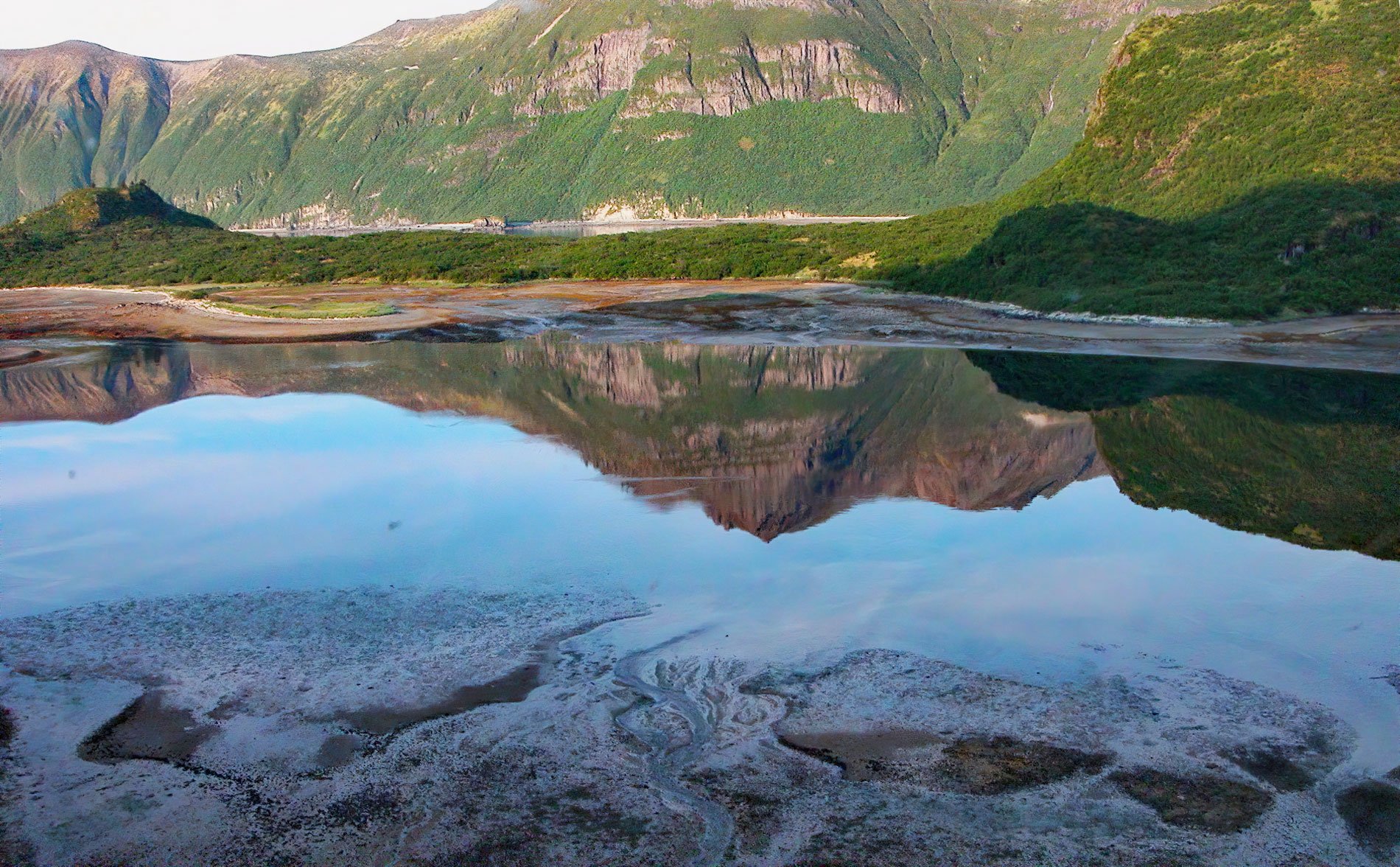
Kuliak Bay is about 4 miles (6.5 km) wide at the entrance on the western shore of Shelikof Strait and gradually tapers to the northwest for 5 miles (8 km) into Katmai National Park and Preserve on the Alaska Peninsula, about 92 miles (148 km) southeast of King Salmon and 74 miles (119 km) northwest of Kodiak, Alaska. The bay was named in 1919 by Robert F. Griggs of the National Geographic Society after Cape Kuliak, a prominent headland at the southern entrance to the bay. Kuliak Bay is separated into two arms by a peninsula. The southern arm is deep and extends northwest to a spit partially enclosing a lagoon that is an estuary for a small stream draining an unnamed lake at an elevation of 110 feet (34 m). The north arm has a deep basin separated from the outer bay by a terminal moraine with sandbars that extend from the north and south shores. The arms of Kukiak Bay are formed by a pluton of granodiorite or tonalite that intruded the surrounding porphyritic lava during the late Tertiary and was subsequently scoured by glaciers descending from the eastern flank of the Aleutian Range.
Little is known about the earliest inhabitants of the Katmai coast but they were likely nomadic Alutiiq Sugpiaq people who followed the salmon runs, caribou, and other seasonal food sources. There is some evidence that semi-permanent settlements or fish camps were established at or near the mouths of principal streams. The arrival of Russian fur traders in the 18th century significantly changed the lifestyle of the Alutiiq people, initially by conscription as sea otter hunters and later by providing trade goods in exchange for furs. The purchase of Alaska by the United States in 1867 was followed by the arrival of commercial fishermen, prospectors, and settlers. In 1899, the discovery of gold at Nome created a massive influx of fortune hunters, and trails across the Alaska Peninsula via Katmai Pass and Naknek Lake suddenly became major travel routes that enabled gold seekers to reach the Bering Sea in three or four days instead of making the long and uncertain voyage through the passes of the Aleutian Islands. A trading post was built at Katmai village, near the outlet of Katmai River on Shelikof Strait to meet the most essential needs of these prospectors. In 1912, the volcanic eruption of Novarupta on Mount Katmai caused the complete abandonment of the Katmai coast and many of the former Alutiiq inhabitants were moved to Perryville.
In 1913, and again in 1917, the brothers Z.T. Halferty and C.D. Halferty staked several mining claims on the slopes overlooking Kuliak Bay probably for copper, gold, and silver prospects. In 1919, when a National Geographic Society expedition visited the bay, the Halfertys’ were working mining shafts and had constructed two cabins on the spit in the southern arm. National Geographic expedition members photographed the buildings associated with the prospecting operations, a long three-room milled-wood building located near the shore, and a smaller milled-wood cabin up the mountain slope. Nothing is known about the mining operation after 1919. In 1941, the remains of the old camp were found abandoned. The present-day Katmai coast is uninhabited except for several fishing lodges and includes over 497 miles (802 km) of diverse habitats such as salt marshes, sedges, mudflats, gravel beaches, sand beaches, and rocky shorelines. Brown bears are found in high densities along the Katmai coast where food resources are consistently abundant year-round. During early summer, bears forage on the coastal sedge flats, and when the salmon begin running up coastal streams, bears will concentrate near the river mouths. Bears are also known to dig for clams in the tidal flats. Kuliak Bay is now a popular destination for visitors to the park who arrive by boat and float plane. Read more here and here. Explore more of Kuliak Bay and Katmai National Park and Preserve here:

