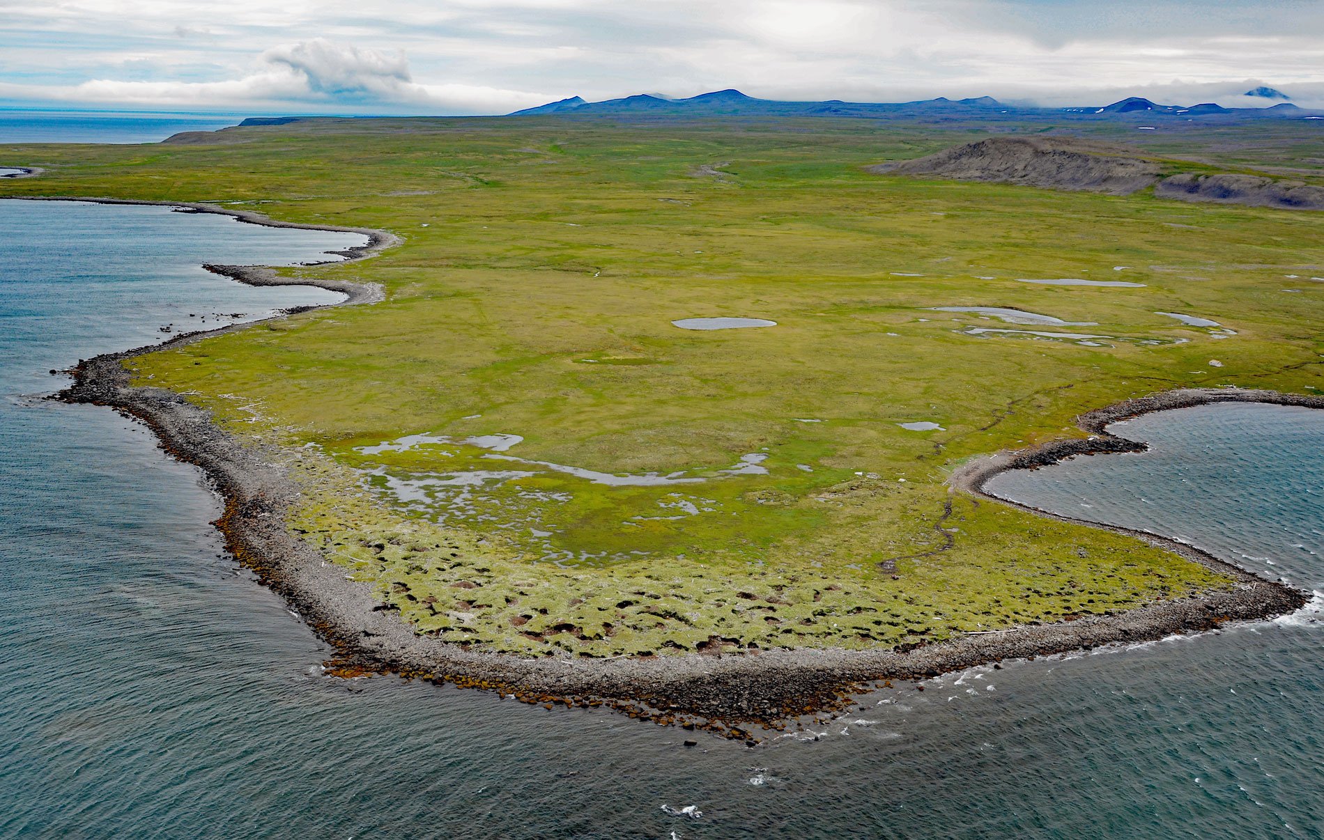
Kookoolik is a historical community, also known as Kukulik, located on Cape Kookoolik on the northern coast of Saint Lawrence Island, about 160 miles (258 km) southwest of Nome and 4 miles (6.5 km) east of Savoonga, Alaska. Kookoolik was one of several Saint Lawrence villages that were depopulated in the 1878-79 epidemic. It now appears as a huge mound of refuse over 800 feet (244 m) long, 135 feet (41 m) wide and from 7 to 23 feet (2-7 m) high. This is the largest known kitchen midden in the Arctic. From 1931 to 1935, Otto W. Geist of the University of Alaska made intensive excavations at Kookoolik that were later cataloged by Froelich Rainey.
Saint Lawrence Island is probably richer in archaeological remains than any other Alaskan locality. With an abundance of seal, walrus, whale, and other food animals available, the island has always supported a large Siberian Yup’ik population from the time, well over 1,000 years ago, when the first migrants came to its shores from nearby Siberia. In 1848, the first whaling ship passed through Bering Strait, to be followed the next year by a large fleet of vessels. Though the whalers frequently stopped at Saint Lawrence Island, the next recorded visit to the island was in 1880 when the U.S. Revenue Cutter Corwin stopped to investigate reports of starvation. Captain C.L. Hooper provided a vivid description of the distressing conditions he found including many villages deserted with the dead lying unburied in and around the houses. The entire eastern end of the island had been depopulated, and the number of deaths may have totaled 1,000, with the likely cause being an epidemic combined or exacerbated by famine.
Numerous abandoned village sites, many of them with kitchen middens of great size, have been found along the coasts on the north, east, and west sides of the island. Excavations at the Kookoolik site have revealed successive stages of different cultures. Six cultural horizons, marked by changes in material artifacts, are represented in the midden deposit. The Modern culture was represented by a large house structure with artifacts that extended to a depth of 4 feet (1.2 m). A recent prehistoric culture was found under the Modern house represented by a second house structure with a floor 6 feet (1.8 m) below the surface and a third house with a floor 9 feet (2.7 m) below the surface. A Thule culture was below the third house at a depth between 9 feet (2.7 m) and 10.5 feet (3.2 m). A Punuk culture was found below the Thule types at depths between 10.5 feet (3.2 m) and 12 feet (3.7 m). Birnirk culture harpoon points were found below the Punuk culture at depths between 12 feet (3.7 m) and 13 feet ((4 m), and finally, Old Bering Sea culture harpoon points were found near the bottom of the dig between 13 feet (4 m) and 14 feet (4.3 m). Read more here and here. Explore more of Kookoolik here:

