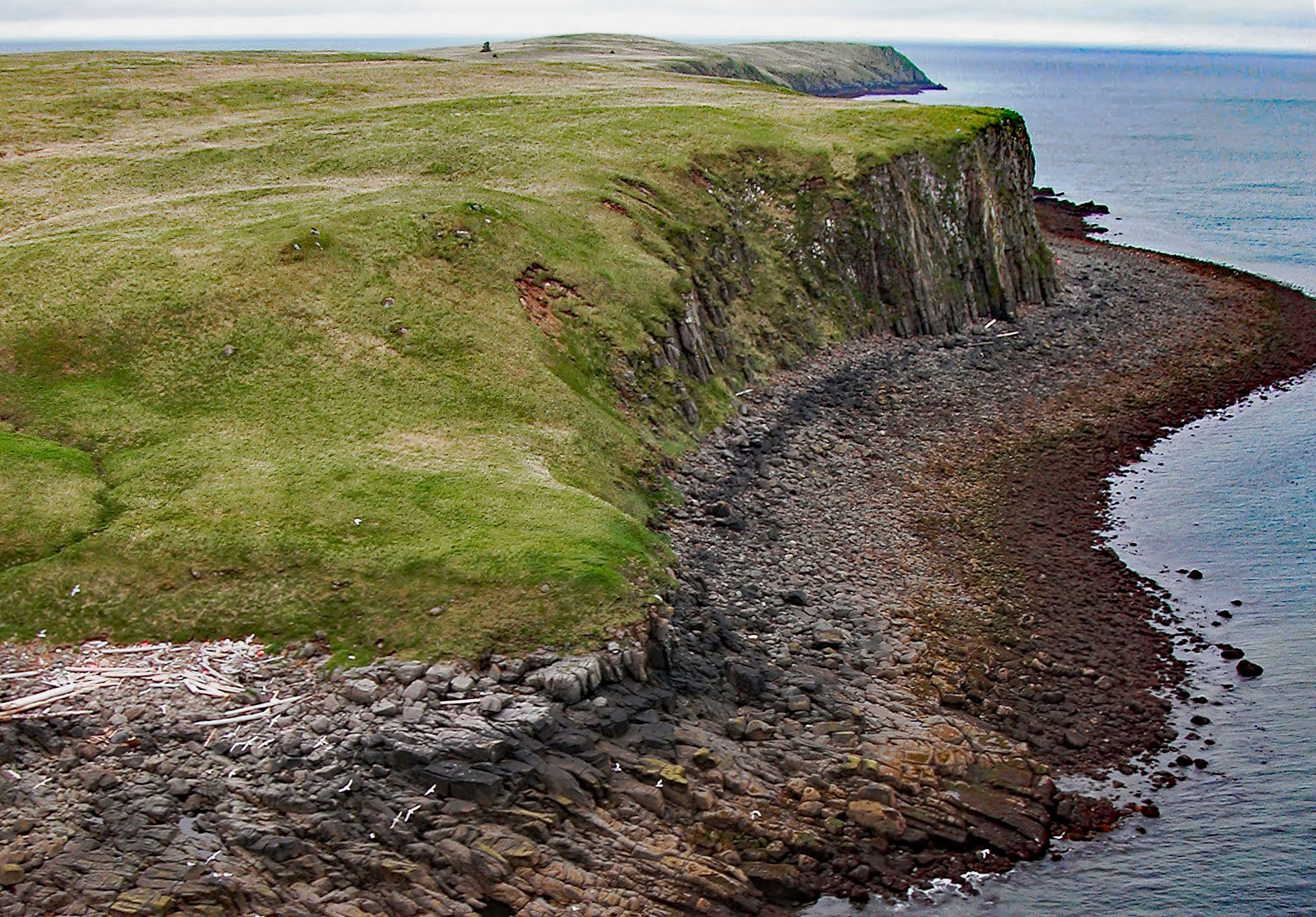
Kiukpalik Island is 1.3 miles (2 km) long and 0.6 miles (1 km) wide and is part of Katmai National Park and Preserve, but situated 2 miles (3.2 km) offshore from the Alaska Peninsula in Shelikof Strait, about 112 miles (181 km) east of King Salmon and 72 miles (116 km) northwest of Kodiak, Alaska. The Alutiiq name was transliterated in 1886 by the U.S. Coast and Geodetic Survey from ‘Ostrov Kayukhpalik’, the name originally published in 1852 by Captain Mikhail Tebenkov of the Imperial Russian Navy. The island is a pluton that intruded into sedimentary rocks during the Pliocene or Late Miocene. The intrusive rocks consist of granodiorite and quartz diorite. The sedimentary rocks have mostly eroded but a small exposure of Hemlock Conglomerate of the Kenai Group from the Oligocene occurs on the west side of the island and consists of sandstone, conglomerate, and siltstone.
Fox farming began in Alaska in the late 1800s when Russian colonists explored new revenue opportunities as sea otter fur became more difficult to procure. Following the U.S. purchase of Alaska in 1867, fox farming proliferated and 35 islands in southcentral and southeastern Alaska were being leased from the territorial government. But in 1903, fur prices began to bottom out and many islands were abandoned. Fur prices remained low until 1919 or 1920 when fox farming entered its ‘golden age’, and throughout the 1920s, Alaska supported several hundred fur farms. Most of these farms were on offshore islands because an island with no predators was the most cost-effective environment to raise foxes. Katmai National Monument was created by presidential proclamation on September 24, 1918, and expanded in 1931. None of the offshore islands in Shelikof Strait were part of the original park to avoid conflicts with the potential exploitation of oil deposits. In 1940, several fox farmers based on coastal islands were caught poaching on the mainland. In 1941, to discourage more poaching in the park, the Interior Secretary recommended a five-mile boundary extension, which would include islands in Shelikof Strait, and this was approved by President Franklin Roosevelt on August 4, 1942. The boundary extension of the park, however, did not affect any of the existing island fox farms.
In 1922, John Brodtkorb established a blue fox farm on the northwestern shore of Kiukpalik Island. By 1924, he was living full-time on the island, and in 1927 he had 100 blue foxes and made $10,000 in improvements. He filed for a fur farming lease from the Bureau of Land Management, but two years later, he left the island. In 1936, Earl L. Butler, a Kodiak resident, resumed the operation; however, by 1941, economic opportunities related to the buildup for World War II had lured Butler to return to Kodiak Island where he was employed in construction work at the navy base. The fox farm on Kiukpalik Island was abandoned either during the war or shortly afterward. In 1953, there remained two residences, including a two-room cabin, three small structures for feed storage, and an enclosure. In 1985, the cabins were still standing, but by 1990, these structures had deteriorated, and dense vegetation obscured many of the remaining features. Read more here and here. Explore more of Kiukpalik Island and Shelikof Strait here:

