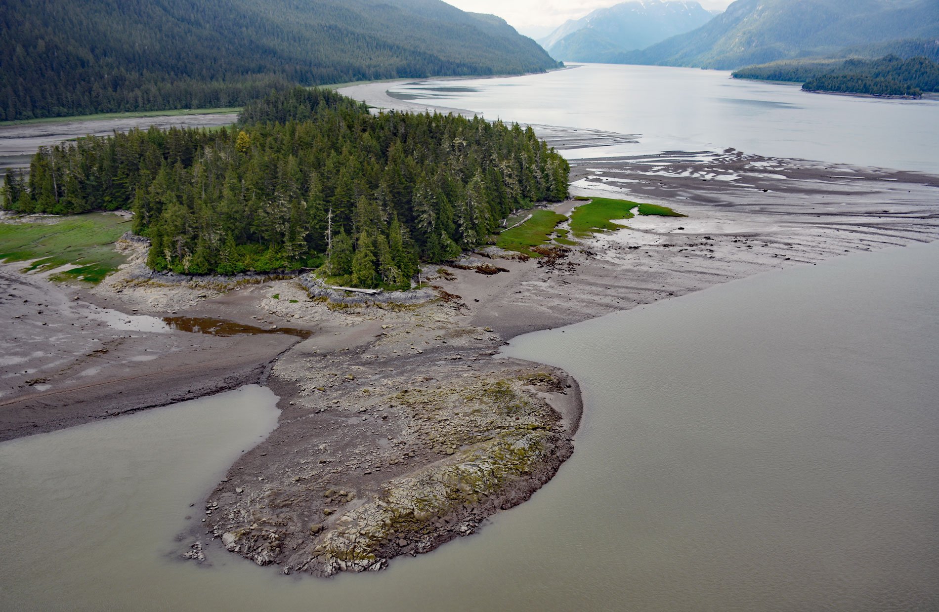
Ecstall River starts from a cirque glacier at an elevation of roughly 3100 feet (945 m) in the Kitimat Ranges of the Coast Mountains and flows generally north-northwest for about 68 miles (110 km), draining a watershed of 207,568 acres (84,000 ha), to the lower tidal reach of the Skeena River, about 60 miles (97 km) west-southwest of Terrace and 18 miles (29 km) southeast of Prince Rupert, British Columbia. The watershed is formed by complex geological sequences of metamorphic and igneous rocks. The metamorphic rocks result from numerous intrusions of the Coast Range Batholith. Three major metasedimentary rock types have been recognized, and in order of abundance are gneiss, schist, and quartzite. Pleistocene glaciation has been an important force shaping the present-day topography but is now insignificant in all but the highest parts of the mountains; however, stream erosion is very active because of the steep slopes and heavy rains.
The Ecstall River watershed is an important habitat for salmon spawning and supports five species of trout. The confluence of the Ecstall and Skeena rivers has traditionally been an important meeting place for First Nations of the upper Skeena and the coastal Tsimshian. A cannery was built at the mouth of the Ecstall River in 1871 by Robert Cunningham and Thomas Hankin and for a time Port Essington was the largest settlement in the region. In the Tsimshian language, the site of Port Essington is called Spokskuut which means ‘autumn camping place’. It is on the traditional territory of the Gitxaala, Lax Kw’alaams, and Metlakatla Nations. The Ecstall-Spokskuut Conservancy and the Ecstall-Sparkling Conservancy were established as part of the provincial government’s North Coast planning area.
Two hydroelectric projects now operate on the Ecstall River. A water-powered sawmill called Brown’s Mill was operated from around 1900 to 1975 about 10 miles (16 km) upstream on the Ecstall at the outlet of Brown Lake. This is now the site of a 7.2 MW run-of-river hydropower facility commissioned in 1996. A hydroelectric project was built at Falls River in 1930 and purchased by BC Hydro in 1964. The powerhouse contains two 3.5 MW turbines that currently generate about 0.1% of BC Hydro’s total system production; however, the facility plays an important role in providing power to the Prince Rupert area when supply from the grid system is disrupted. See a short video of the lower Ecstall River here. Read more here and here. Explore more of Ecstall River and Skeena River here:

