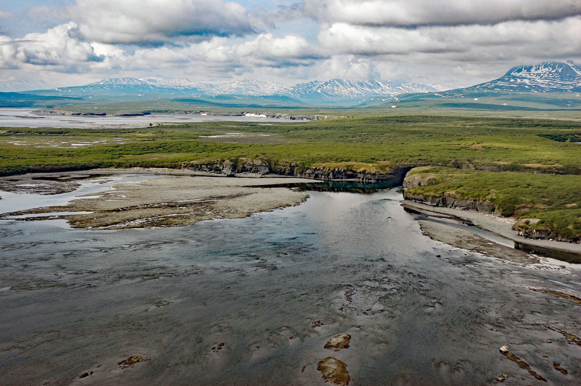
Paint River starts at the confluence of the Middle and South Forks and flows generally east for 17 miles (27 km), draining a watershed of 40,854 acres (16,533 ha), to Akjemguiga Cove in Kamishak Bay between McNeil Cove to the south and Amakdedulia Cove to the north, about 101 miles (163 km) southwest of Homer and 94 miles (152 km) northeast of King Salmon, Alaska. The river name was published by Kirtley F. Mather of the U.S. Geological Survey in 1923. Akjemguiga Cove is located at the head of the Alaska Peninsula and extends west for 1.4 miles (2.3 km) from the western shore of Kamishak Bay. The Paint River is within the McNeil River State Game Sanctuary and Refuge. The watershed is bisected by the Bruin Bay Fault that separates rocks of the Naknek Formation to the east from rocks of the Alaska-Aleutian Range batholith to the west. The Naknek Formation developed during the Late Jurassic and consists of thick layers of conglomerate and quartzose sandstone. The Alaska-Aleutian Range batholith developed during the Jurassic and consists of quartz diorite, tonalite, and diorite.
The McNeil River State Game Sanctuary was created by the Alaska Legislature in 1967 to provide permanent protection for a unique concentration of brown bears. Its original boundaries encompassed most of the McNeil River and Mikfik Creek drainages and the lower portion of the Paint River. However, soon afterward, increased human activity in the area from sportfishing guides and mining claims resulted in changes in bear behavior to humans. At about the same time, the Paint River watershed was selected for a salmon enhancement project. A waterfall at the river mouth is about 35 feet (11 m) high and blocks salmon passage from Cook Inlet. Work on populating the river began in 1975 when commercial fish harvests had hit an all-time low, and the state launched several salmon enhancement projects, including building fish ladders to introduce or supplement existing populations.
In 1978, feasibility studies were started on a potential enhancement program on the Paint River. In 1986, the Upper and Lower Paint Lakes were stocked with sockeye fry. In 1991, a fish ladder was constructed around the waterfalls but there were never enough returning adult fish to open the fish ladder. Bear conservation advocates became concerned that the increased fish stocks at the Paint River would draw the abundant bears away from the McNeil River Sanctuary to lands where hunting was allowed. This initiated plans to annex additional land to the sanctuary, and in 1993, the protected area was enlarged to include the entire Paint River watershed. In 2011, the Cook Inlet Aquaculture Association upgraded the fish ladder and it now allows salmon to pass into the upper reaches of the remote river system. Read more here and here. Explore more of Paint River and Akjemguiga Cove here:

