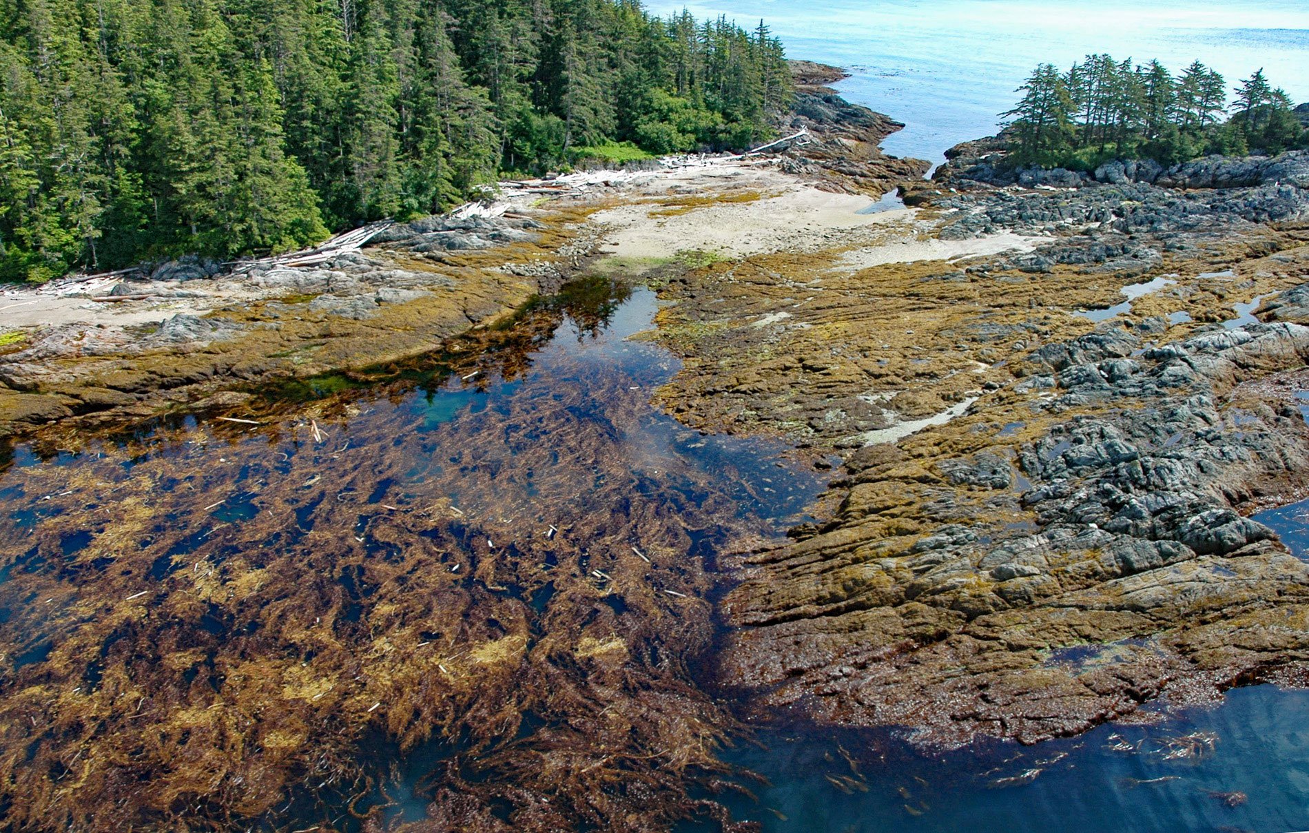
Kaigani Point is at the southwest tip of Long Island between Kaigani Strait to the west and Cordova Bay to the east, about 100 miles (161 km) northwest of Prince Rupert and 56 miles (90 km) southwest of Ketchikan, Alaska. Long Island is directly south of Sukkwan Island in the Alexander Archipelago of Southeast Alaska and is adjacent to the southern portion of Dall Island to the west, and the southern part of Prince of Wales Island to the east. The island is formed by rocks of the Descon Formation. The northern part of the island consists of sedimentary, volcanic, and carbonate rocks that developed during the Silurian and Ordovician ages. The sedimentary rocks are mostly mudstone and greywacke turbidites. The southern part of the island consists of volcanic pillow flows, pillow breccia, and tuff related to igneous intrusions of the Early Silurian and Late Ordovician age. The name for Kaigani Point was first published by the U.S. Coast and Geodetic Survey in 1883 as ‘Kai-gah-nee Point’. Kaigani reputedly means ‘strait country’ and was the name of a historical village located near Cape Muzon on Dall Island inhabited by K´yák áannii Haida people who controlled most of the southern tip of Alaska.
Before the period of contact with Europeans, but possibly during the 18th century, members of several Haida clans from Masset Inlet and Graham Island in Haida Gwaii migrated to southeastern Alaska, eventually driving the Tlingit from the most southerly portion of the Alexander Archipelago. Here the Haida built villages on Prince of Wales, Long, Sakkwan, and Dall islands. Differences between the Haida Gwaii and Kaigani Haida were reflected in both dialect and social structure since the Kaigani clans, for example, underwent some modifications as a result of contact and intermarriage with the Tlingit. By the late 18th century, muskets that were acquired through trade and raids were ubiquitous on the islands, and the Haida were wearing European clothes. Slavery was still common among all the Coastal peoples and was not made illegal until 1834 in the British dominions and 1880 in Alaska, but the law was rarely enforced. As late as the 1870s, able-bodied slaves were selling for 200 to 300 blankets each. From 1862 to 1863, a smallpox epidemic swept through Haida Gwaii and Southeast Alaska, and the Haida population was decimated. In 1911, the village of Hydaburg was formed by the consolidation of Howkan on the west coast of Long Island, Sukkwan at the northern end of Sukkwan Island, and Klinkwan on Prince of Wales Island.
Elmo Wortman and his three children moved to the remote coastline of Southeast Alaska in the mid-1970s. In February 1979, the family was sailing back to Alaska from Prince Rupert, British Columbia in a home-built boat of 33 feet (10 m) when they were caught in a massive storm that left them shipwrecked on Kaigani Point. They were miles from help and had no hope of rescue. Caught in freezing mid-winter weather with almost no food, a sail as their only shelter, and a leaky dinghy that could only carry two people safely, the chance of survival was almost nonexistent. Elmo knew there was only one possibility of making it out alive – they had to paddle north for 20 miles (32 km) to a hut at Rose Inlet, on Dall Island, that was frequented by trappers during winter. Elmo wrote about this epic story in the book Almost Too Late, and this was made into a feature film called Anything to Survive. Read more here and here. Explore more of Kaigani Point and Long Island here:

