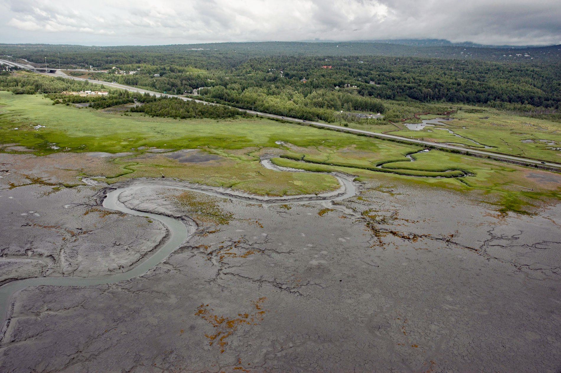
Rabbit Creek starts at the outlet of Rabbit Lake, at the base of the west flank of North Yuyanq’ Ch’ex in the Chugach Mountains at an elevation of 3,082 feet (940 m), and flows generally west-northwest for 26 miles (42 km) draining a watershed of 9,152 acres (3,704 ha) to Potter Marsh where it merges with Little Rabbit Creek and discharges into Turnagain Arm, about 13 miles (21 km) northwest of Hope and 10 miles (16 km) south-southeast of downtown Anchorage, Alaska. The name is a translation of the Dena’ina name ‘Ggeh Betnu’, reported in 1906 by Thomas G. Gerdine and R. Harvey Sargent of the U.S. Geological Survey. Little Rabbit Creek is the largest tributary with its headwaters at McHugh Peak. This part of the Chugach Mountains is formed by rocks represented by the McHugh Complex that developed during the Cretaceous and Mississippian and consist of a tectonic mélange composed of weakly metamorphosed siltstone, greywacke, arkose, and sandstone.
In 1916-17, the construction of the Alaska Railroad created Potter Marsh when a causeway was built across a shallow tidal embayment of Turnagain Arm. A bridge over Rabbit Creek allowed tidal flushing of the impounded area but marsh vegetation grew and freshwater ponds developed. The resulting salt marsh attracted migrating waterfowl and shorebirds, and the wildlife attracted hunters and trappers. By the 1960s, Potter Marsh had also become popular for wildlife viewing. The marsh settled approximately 3.5 feet (1 m) during the 1964 earthquake, drowning most of the trees at the marsh’s eastern border creating a standing forest of dead trees, and increasing the open water habitat. The New Seward Highway construction in 1970-71 resulted in further water impoundment. The drowned forest community attracts raptors, songbirds, and shorebirds, which utilize the deadwood snags as elevated perches above the wetland vegetation. In 1985, a wooden boardwalk 1,550 feet (473 m) long was built through the marsh and across watery openings and sedges for wildlife viewing.
From late April through September, Canada geese, northern pintails, canvasback ducks, red-necked phalaropes, horned and red-necked grebes, and northern harriers use this wetland. From May to August, gulls, Arctic terns, shorebirds such as yellowlegs, and occasionally trumpeter swans are present during spring and fall migration. In addition to birds, the marsh provides a habitat for muskrats, moose, and spawning Chinook, coho, and pink salmon. In 1988, the Alaska Legislature expanded and renamed the game refuge the Anchorage Coastal Wildlife Refuge. Today, both Rabbit Creek and Little Rabbit Creek have considerable residential development along the banks at lower elevations surrounding Potter Marsh. Read more here and here. Explore more of Rabbit Creek and Potter Marsh here:

