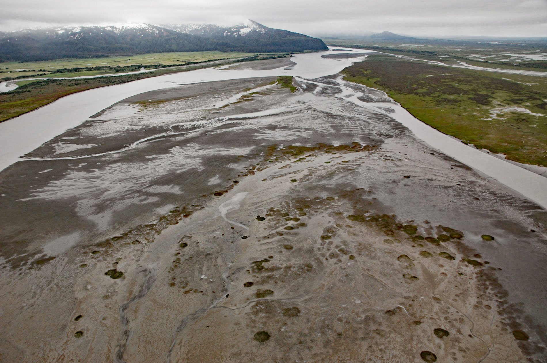
Bering River starts from a series of ice-marginal lakes and streams draining from the Martin River, Steller, and Bering glaciers, and flows generally south-southwest for 18 miles ( km) to Controller Bay on the Gulf of Alaska, about 63 miles (102 km) west of Cape Yakutaga and 58 miles (94 km) southeast of Cordova, Alaska. The main tributaries are Canyon Creek which flows from a lobe of Martin River Glacier, Berg Lake at an elevation of 435 feet, Ivanov Lake at 110 feet, Starodubstov Lake at 100 feet, and Kushtaka Lake at 92 feet. Bering River was inexplicably named ‘Rio de Lagartos’ meaning ‘River of Lizards’ in 1779, by Don Ignacio Arteaga. The current name of the river is from the glacier and was first reported in 1903 by George C. Martin, of the U.S. Geological Survey. Controller Bay extends for 15 miles (24 km) along the coast between Strawberry Point to the north and Okalee Spit to the south. The bay was originally named ‘Comptrollers Bay’ by Captain James Cook in 1778, probably for Maurice Suckling who was comptroller of the Royal Navy when Cook left on this expedition. The name was adopted by Captain George Vancouver, and was subsequently transliterated on Russian charts as ‘Zaliv Kontrolyer’.
Early humans likely followed a coastal migration route along the Gulf of Alaska that existed sometime between 16,800 and 11,000 years ago. The Chugach Sugpiuq, a Pacific Eskimo people, occupied much of the Prince William Sound area and east to the mouth of the Copper River. By the 18th century when European explorers arrived and made contact, the area around the Bering Glacier was occupied by three cultural groups: the Chugach, the Eyak, and the Tlingit. A historical Tlingit village or seasonal fish camp called Chilkat was located on the north bank at the mouth of the Bering River and inhabited by the Galyá x Kwáan. In 1916, the Hoonah Packing Company built and operated a salmon cannery at Chilkat until 1928 when it was leased to the Pacific American Fisheries Company and abandoned in the 1950s. The Bering River fishery was also visited by fishermen from canneries on Wingham Island and at Cordova and was fished somewhat regularly until 1927 when the fishery was closed. The Bering River is the site of a coalfield with an estimated 35 to 65 million tons of recoverable coal. The potential development of the Bering River coalfield has created a century-long battle between conservationists and developers dating to the Guggenheim-Morgan Alaska Syndicate in the early 1900s, and today there are Korean interests.
Bering Glacier is the largest and longest glacier in continental North America, with an area of approximately 1,998 square miles (517,500 ha), and a length of 118 miles (190 km). The name commemorates Vitus Bering, a Dane in the service of Russia under Peter the Great, and as leader of an exploration credited with the discovery of Alaska. The entire glacier lies within 60 miles (100 km) of the Gulf of Alaska. Because of its size and large freshwater discharge, it is a major component of the marine and terrestrial ecosystems of the Gulf of Alaska and its discharge is an important driving mechanism of the circulation in the Gulf of Alaska. The Bering Glacier is also the largest surging glacier in America, having surged at least five times during the 20th century. The glacial meltwater drains into ice-marginal lakes, the largest being Vitus Lake in the south and Berg Lake in the west. The Seal River drains Vitus Lake into the Gulf of Alaska, and the Bering River drains Berg Lake into Controller Bay. Read more here and here. Explore more of the Bering River and Controller Bay here:

