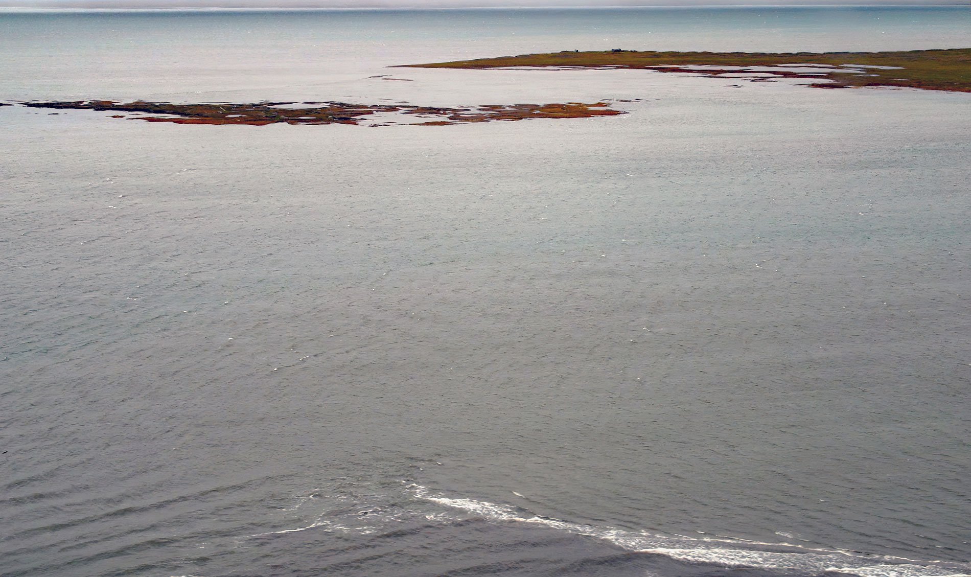
Leffingwell Camp is situated on Flaxman Island, a shape-shifting barrier island separating the Beaufort Sea to the north and Lion Bay to the south, about 58 miles (94 km) east of Deadhorse and 58 miles (94 km) west of Kaktovik, Alaska. Barrier islands stretch across approximately 50 percent of Arctic Alaska coast. The historic base camp is named after Arctic explorer Ernest de K. Leffingwell. Flaxman Island is situated between Mary Sachs Entrance to the west and Brownlow Point to the east, and was named in 1826 by Sir John Franklin for John Flaxman, an English sculptor and draftsman. Lion Bay is the estuary of the Staines River, a distributary of the Canning River, and was reputedly named for one of the two boats used by the Franklin party in 1826; however, the name is recent. The Iñupiaq name for the island is ‘Sidrak’ meaning ‘foxhole’ according to Leffingwell in 1912. The islands provide a physical barrier against storms and pack ice, and are used as resting and nesting habitat by birds, denning habitat for polar bears, and haul-out areas for walruses. They also support energy and defense-related infrastructure and provide Iñupiat families with a seasonal base for subsistence hunting camps.
In 1906, despite many visits by explorers, the western Arctic was still not accurately mapped and speculation persisted about a large unknown landmass near the north pole. Ejnar Mikkelsen and Ernest Leffingwell decided to mount an expedition with the express purpose of discovering the new landmass. The Anglo-American Polar Expedition also included Dr. George P. Howe as medical officer, the Danish zoologist Ejnar Ditlevsen, and Viiljalmur Steffansson as the expedition anthropologist. They procured the vessel Beatrice in Victoria, British Columbia. The ship was constructed in 1879 as a schooner of 66 tons and used as a fur sealing vessel, a pearl fisher, and as an opium smuggler in the Far East. The team renamed the schooner Duchess of Bedford in honor of one of the expedition’s financial sponsors. On entering the Beaufort Sea, the vessel became locked in pack ice and was destroyed, but the wood was salvaged and used to build a cabin on Flaxman Island where the expedition over-wintered near several Iñupiat families who lived in sod houses. Stefansson was supposed to join the group at Herschel Island, but when the vessel was lost, he traveled south across the Mackenzie-Yukon portage and down the Porcupine River to Fort Yukon, Alaska. In 1907, the remaining party continued north traveling by dog sleds and routinely bored holes through the ice to measure depth soundings. They found that water increased in depth the farther north they traveled, which conclusively proved that there was no landmass in the north polar region. The soundings also established the presence of a continental shelf that extended 65 miles (105 km) offshore.
Mikkelsen left the expedition in 1907, but Leffingwell remained on the Arctic coast for another year and was evacuated in 1908 by Captain George B. Leavitt on the whaler Narwhal. Leffingwell subsequently named Leavitt Island and Narwhal Island on the Arctic coast of Alaska. Leffingwell returned to the camp in subsequent six years and created the first accurate map of this section of the Alaskan coastline. He was the first to scientifically describe permafrost. He accurately identified the oil potential of the area, including assessing that it was not, in his day, technologically or economically feasible to develop it. In the 1930s, trader Henry Chamberlin dismantled Leffingwell’s cabin and moved the lumber to Brownlow Point, where he used it to build a warehouse for his trading post. The site continued to be used by local Iñupiat families for seasonal camps and additional sod houses were constructed in 1924 and 1940. In the 1970s an Exxon oil exploration camp, including a drilling rig, several temporary buildings, and a gravel airstrip was located nearby. The camp was removed in 1979, leaving only the gravel airstrip. The remains of the original Leffingwell Camp now consist only of a sod foundation that was designated a National Historic Landmark in 1978. Read more here and here. Explore more of the Leffingwell Camp and Flaxman Island here:

