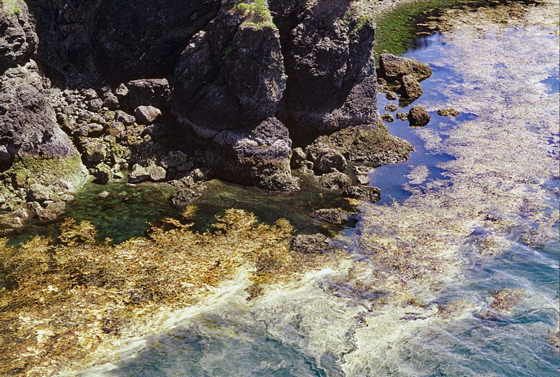
Devils Bay is a bight about 0.5 miles (0.8 km) wide on the north shore of Black Cape, a prominent headland on the northwest coast of Afognak Island in the Kodiak Island Archipelago, about 97 miles (156 km) southwest of Homer and 48 miles (77 km) northwest of the community of Kodiak, Alaska. The name of the bay was first published in 1925 by the U.S. Forest Service. Black Cape is a name translated in 1868 by the U.S. Coast and Geodetic Survey from the Russian ‘Mys Chemoy’ published on charts by the Russian-American Company. The headland is formed by bedrock representing the Shuyak Formation that developed during the Late Triassic and consists of a sedimentary component exposed farther north that is in fault contact and overlies a volcanic component exposed at Black Cape. The sedimentary rocks are mostly sandstone, with lesser amounts of conglomerate, argillite, and siliceous tuff that indicate deposition by turbidity currents. The volcanic component is mostly pillow greenstone with beds of pillow-breccia agglomerate, tuff, and argillite.
In 2002, kelp beds of a marine alga called giant kelp or Macrocystis were observed in Devils Bay during aerial surveys of the shoreline. This was an unusual observation, since Macrocystis is not common in the western Gulf of Alaska. In May 2005, a ground verification survey of the kelp beds was conducted and samples were collected for taxonomic confirmation. In the eastern Gulf of Alaska, Macrocystis is well documented in the more oceanic outer coastal areas, but is generally not found north of Icy Bay. The alga grows to over 150 feet (45 m) long, and is more commonly known as giant kelp or giant bladder kelp. Giant kelp is common along the coast of the Eastern Pacific Ocean from Baja California to Southeast Alaska and is also found in the Southern Pacific Ocean near South America, South Africa, Australia, and New Zealand. Although the alga appears the same, there is a genetic difference between the northern and southern species. In the Gulf of Alaska and the Northern Hemisphere, the giant kelp species is M. tenuifolia, and the Southern Hemisphere species is M. pyrifera. The small and infrequent kelp beds of Macrocystis in the western Gulf of Alaska are either a range extension of a Southeast Alaska population, or perhaps a remnant of an ancient broader distribution, or possibly they self-propagated from a kelp pound fishery.
A kelp pound fishery harvests Pacific herring roe deposited on kelp blades, and the fishery is more frequently referred to as spawn-on-kelp. Indigenous peoples have a long history of sustainably harvesting herring roe for trade and consumption. The traditional spawn-on-kelp fishery involves the suspension of hemlock branches, kelp fronds, and seaweeds in sheltered spawning areas. The commercial fishery used enclosures or ‘pounds’ give this fishery its name. A pound is a pen made of nets that surrounds stalks of kelp, usually suspended from the water’s surface. Macrocystis is the preferred edible kelp, so often these are harvested from known kelp forests and transported to areas where herring are likely to spawn. With an enclosed pound, herring are caught with seine nets, transported, and released into a pen before spawning. The fish are held for several days during the spawn and then released. Closed pounds are carefully regulated by the Alaska Department of Fish and Game, that specifies the maximum size of the pens, the number of pens, the number of kelp blades per pound, the maximum number of days herring may be kept in a pound and the time of day the herring must be released. Closed pounds produce kelp blades thickly coated with eggs which are a highly desirable product. Read more here and here. Explore more of Devils Bay and Afognak Island here:

