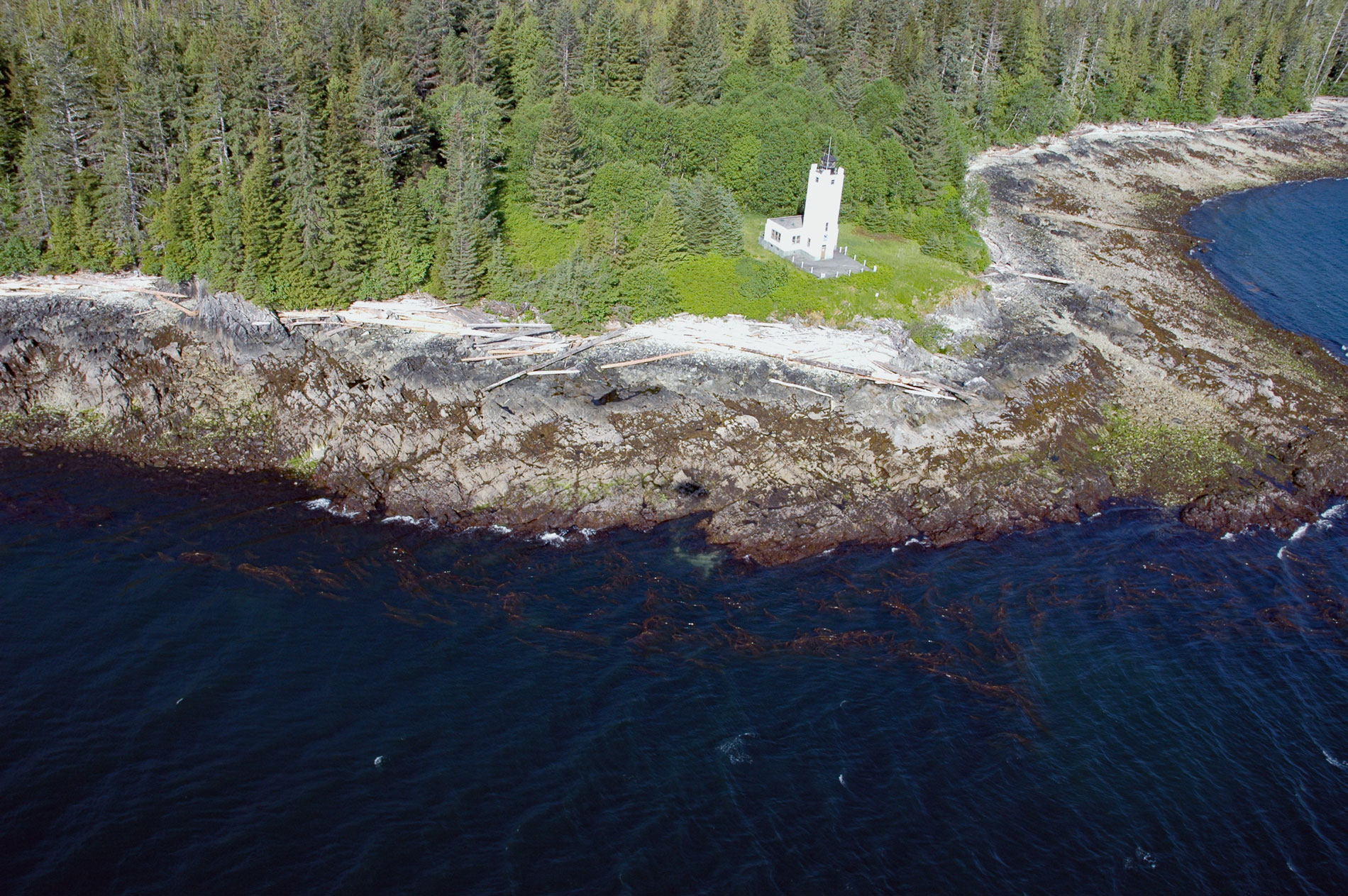
Mary Island is the site of an important lighthouse located between Felice Strait and Revillagigedo Channel, about 25 miles (40 km) north of the Canadian border and 25 miles (40 km) southeast of Ketchikan, Alaska. Mary Island was named by W.E. George, a local ship’s pilot, after the daughter of Admiral John A. Winslow who cruised past the island with her father in 1872 aboard the USS Saranac. The USS Saranac would later sink in Seymour Narrows, British Columbia after striking Ripple Rock.
Mary Island is also the name of a lighthouse and a historical customs house in an abandoned community on the northeast coast of the island. The U.S. Government expected that the area of Revillagigedo Channel would be the main entryway for Alaska and the first stopping place for vessels arriving from Canada. In 1892, a customs house to handle ship traffic from British Columbia into Alaska was built on Mary Island and the Lighthouse Board immediately petitioned Congress to provide funds for a lighthouse. But funds for the lighthouse were delayed until the Klondike Gold Rush of 1897-98 created a dramatic spike in maritime traffic. Funds were appropriated in 1902, but by then the customs house had already been moved to the small community of Ketchikan, about 26 miles (42 km) to the northwest.
The Mary Island Light Station, Alaska’s fourth lighthouse, was built in 1902, although it was lit for the first time on July 15, 1903. The lighthouse consisted of an octagonal, one-story building with a smaller octagonal tower extending from its center to a height of nearly 50 feet (15 m). The black cylindrical lantern room atop the tower housed a fourth-order Chance Brothers Fresnel lens that beamed a fixed white light. By 1961, the light station consisted of a boathouse, oil houses, a cart-house, and several light keepers dwellings. Today all of this is gone except for the lighthouse itself, and it is a concrete shell with a solar-powered light. Read more here and here. Explore more of Mary Island here:

