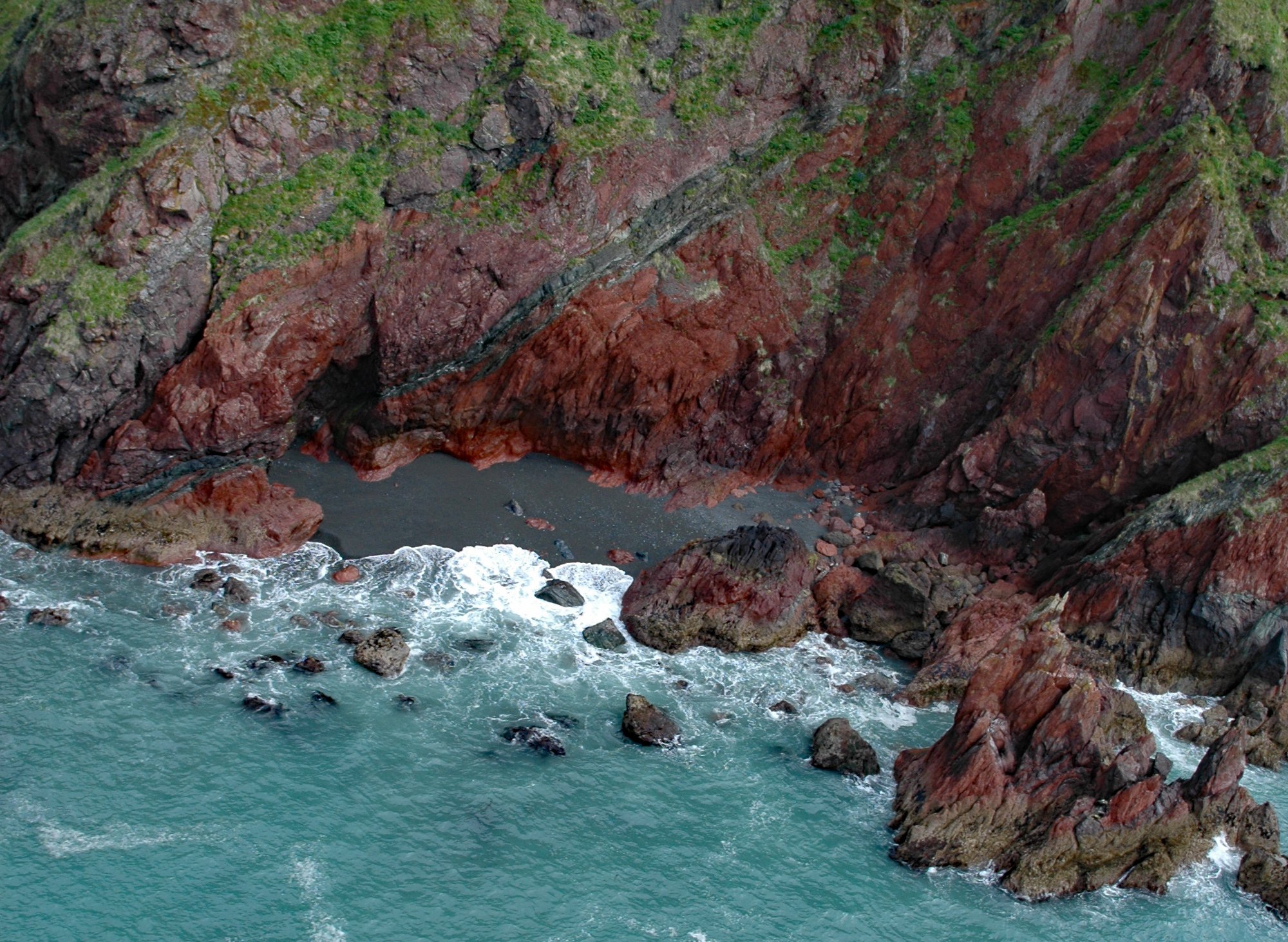
The Red River is a stream on Kodiak Island that flows south for about 4.5 miles (7 km) to Shelikof Strait, 2 miles (3.2 km) east of Bumble Bay, and about 80 miles (129 km) southwest of Kodiak and 6 miles (10 km) northwest of Ayakulik, Alaska. The name is a translation by the U.S. Coast and Geodetic Survey in 1868 of the descriptive name published by Captain Mikhail Tebenkov of the Imperial Russian Navy as “Krasnaya” River. The river name may be from the many red chert outcrops along this shoreline.
Chert is an erosion-resistant rock forming part of the Uyak Formation that extends for approximately 372 miles (600 km) along the Alaska coast from the Shumagin Islands, through the Kodiak Archipelago, and into the Chugach Mountains near Anchorage. Chert is a hard silica-based rock formed from lithified radiolarian ooze. Radiolarian zooplankton are found throughout the ocean and the intricate silica skeletons they produce cover large portions of the ocean bottom.
In areas of high biological productivity, such as nutrient-rich upwelling zones, radiolarian ooze accumulates on the ocean floor and is rapidly buried. After burial some radiolarian oozes are lithified into chert and incorporated into orogens, or bands of highly deformed rock. Orogenic belts, such as the Uyak Formation, generally consist of long parallel strips of rock exhibiting similar characteristics along the length of the formation and are associated with subduction zones. The Uyak Formation was accreted to the Alaska margin in the late Cretaceous period or about 100 million years ago. Read more here and here. Explore the chert outcrop and more of Red River here:

