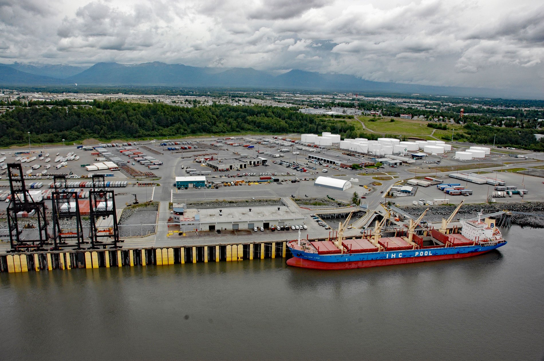
The Port of Anchorage is on the southeastern shore of Knik Arm at the head of Cook Inlet, about 75 miles (121 km) north of Seward and 1.5 miles (2.4 km) north of downtown Anchorage, Alaska. Anchorage is the largest city in Alaska and was first established in 1913 as a construction camp and headquarters for the Alaska Railroad that was built from Seward to Fairbanks. The camp was originally referred to as “Ship Creek” and “Woodrow”, but with the establishment of the Anchorage post office in 1914-15, the present name became official. The name was derived from the Knik Arm anchorage immediately offshore from the camp at the mouth of Ship Creek.
The docks of the Port of Anchorage are near the original Ship Creek construction camp where the tide range often exceeds 33 feet (10 m). The industrial port facility was built in the late 1950s and began operations in 1961. Over 38,000 tons of marine cargo moved across a single berth in the first year of operation. Today, over 3.5 million tons of food, building materials, cars, clothing, cement, fuel, and other goods are handled each year.
The port handles more ships, tugs, and barges than any other deep-water port in the state and is the primary import gateway for more than 85 percent of Alaska’s population. The docks have direct access to the Alaska Railroad and all intrastate highway routes. Most of the cargo is reloaded onto smaller vessels, trucks, trains, or air transported for distribution throughout the state. Port facilities now include three bulk and container terminals and two petroleum terminals. The water depth at the docks is maintained by dredges at 35 feet (11 m) to 45 feet (14 m). Read more here and here. Explore more of the Port of Anchorage here:

