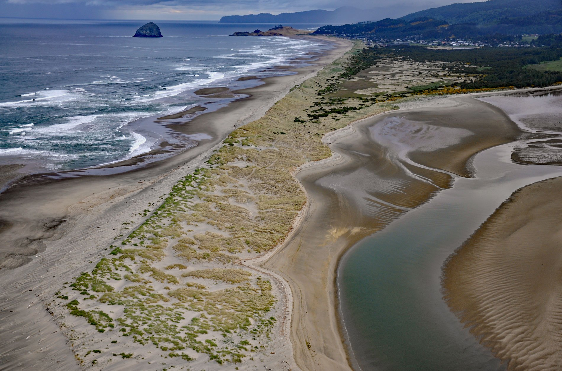
Nestucca Bay is an estuary of about 1,000 acres (405 ha) formed by a sand spit located where the Nestucca River meets the Pacific Ocean, about 38 miles (61 km) west of McMinnville and at Pacific City, Oregon. The Nestucca Spit separates the estuary from the ocean and is an important barrier beach that breaks the impact of destructive ocean waves. The Nestucca Spit includes Robert W. Straub State Park, named for the former Oregon Governor. A part of Nestucca Bay is included in the Nestucca Bay National Wildlife Refuge.
Pacific City is the principal community on the bay and is located at the north end of the spit. Nestucca Bay was historically a rich fishing area beginning in 1854 when settlers began arriving from the Tillamook Valley. By 1876, the 200 remaining Nestugga people were relocated to a reservation on the Salmon and Siletz River. By 1926, commercial gillnetting had depleted the bay of salmon, so fishermen switched to surf-launched dories, but over time this fishery also dwindled and today only a few recreational dory fishermen keep the tradition alive by launching and landing through the surf. See a short video of the surf dory landing here.
The head of the bay is surrounded by the Nestucca Bay National Wildlife Refuge. The refuge is one of six comprising the Oregon Coast National Wildlife Refuge Complex and supports one tenth of the world’s dusky Canada goose population. The refuge contains at least seven types of habitat, including tidal marsh, tidal mudflats, grassland, woodland, pasture, forested lagg, and freshwater bogs including the southernmost coastal Sphagnum bog habitat on the Pacific Coast. Read more here and here. Explore more of Nestucca Bay and the Oregon coast here:

