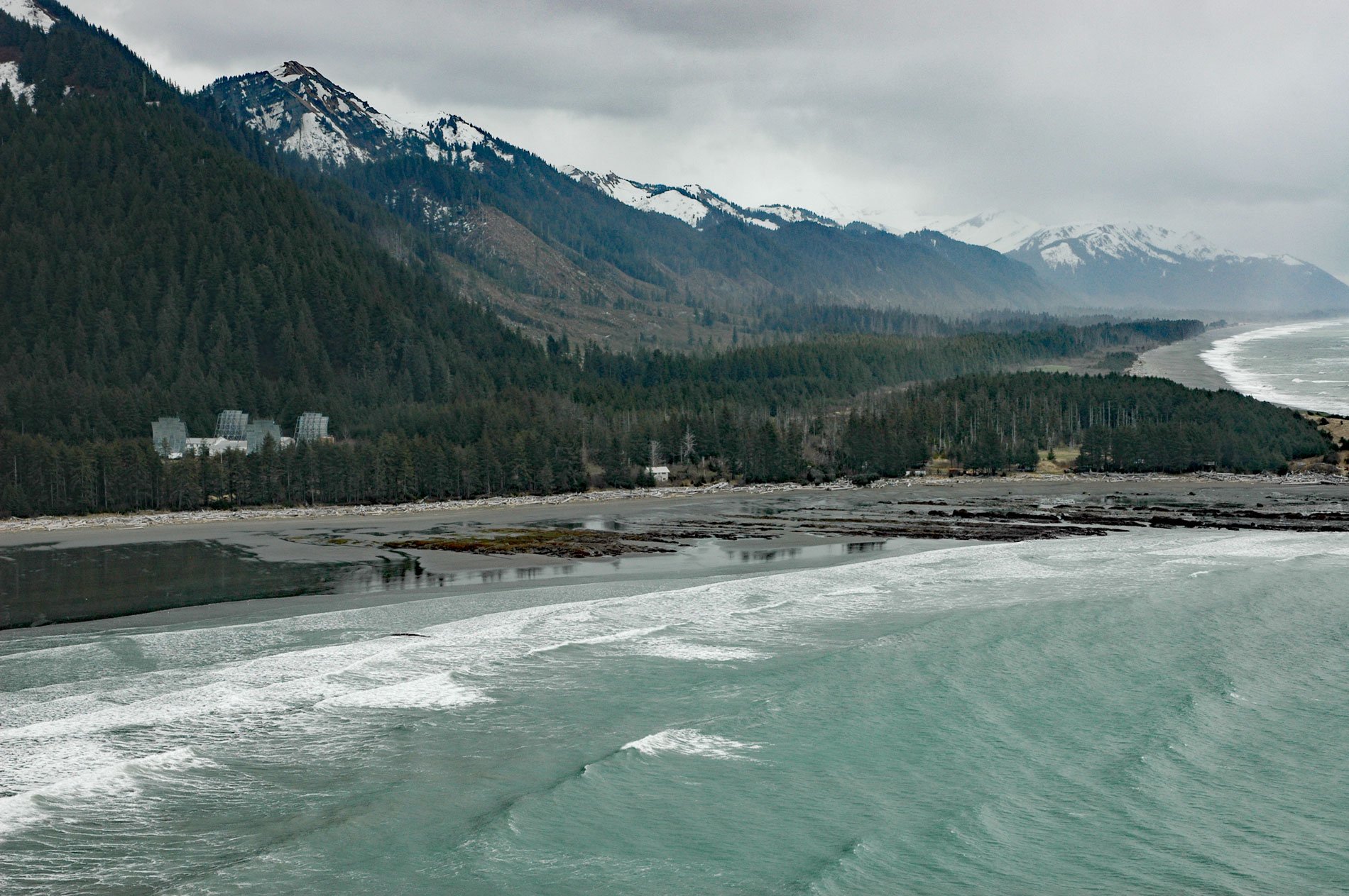
Cape Yakataga is a point of land on the Gulf of Alaska, about 100 miles (161 km) northwest of Yakutat and 2 miles (3.2 km) southeast of Yakataga, Alaska. The Tlingit name was first published by Captain Mikhail Tebenkov, of the Imperial Russian Navy, as “Cape Yaktaga” on an 1849 chart. The White Alice Communications System was a U.S. Air Force telecommunication network with 80 radio stations constructed in Alaska during the Cold War. The system used tropospheric scatter for over-the-horizon links and microwave relay for shorter line-of-sight links. Sites were characterized by large parabolic, tropospheric scatter antennas as well as smaller microwave dishes for point to point links.
The White Alice system was initially intended to provide reliable communications for linking defense radar facilities in remote, isolated, and often rugged locations to central command at Clear Air Force Station. White Alice was designed by AT&T and built and maintained by Western Electric. Construction began in 1955 and the system was dedicated in 1958. The first installation featured 22 tropospheric scatter stations distinguished by a cluster of very large parabolic antennas. An additional 6 line-of-sight microwave radio stations and 3 dual tropospheric/microwave sites were also constructed. The second phase of construction provided communication to the North American Aerospace Defense Command (NORAD) in Colorado via two routes from Alaska. The A Route consisted of 22 coastal stations linking to a submarine cable, and the B Route included 8 interior stations that linked to an overland cable in Canada. In the end, 71 stations were built throughout Alaska.
In 1976, the White Alice stations were leased to RCA Alascom for civilian use, and by the end of the 1970s, most of the system was deactivated when it was superseded by satellite communications. Vandalism, unsafe conditions, and environmental concerns caused the Department of Defense to remove physical structures at the sites. Several sites remain including Anvil Mountain outside of Nome, Cape Sarichef on Unimak Island, and Cape Yakataga. Learn more about White Alice here and here. Explore more of Cape Yakataga here:

