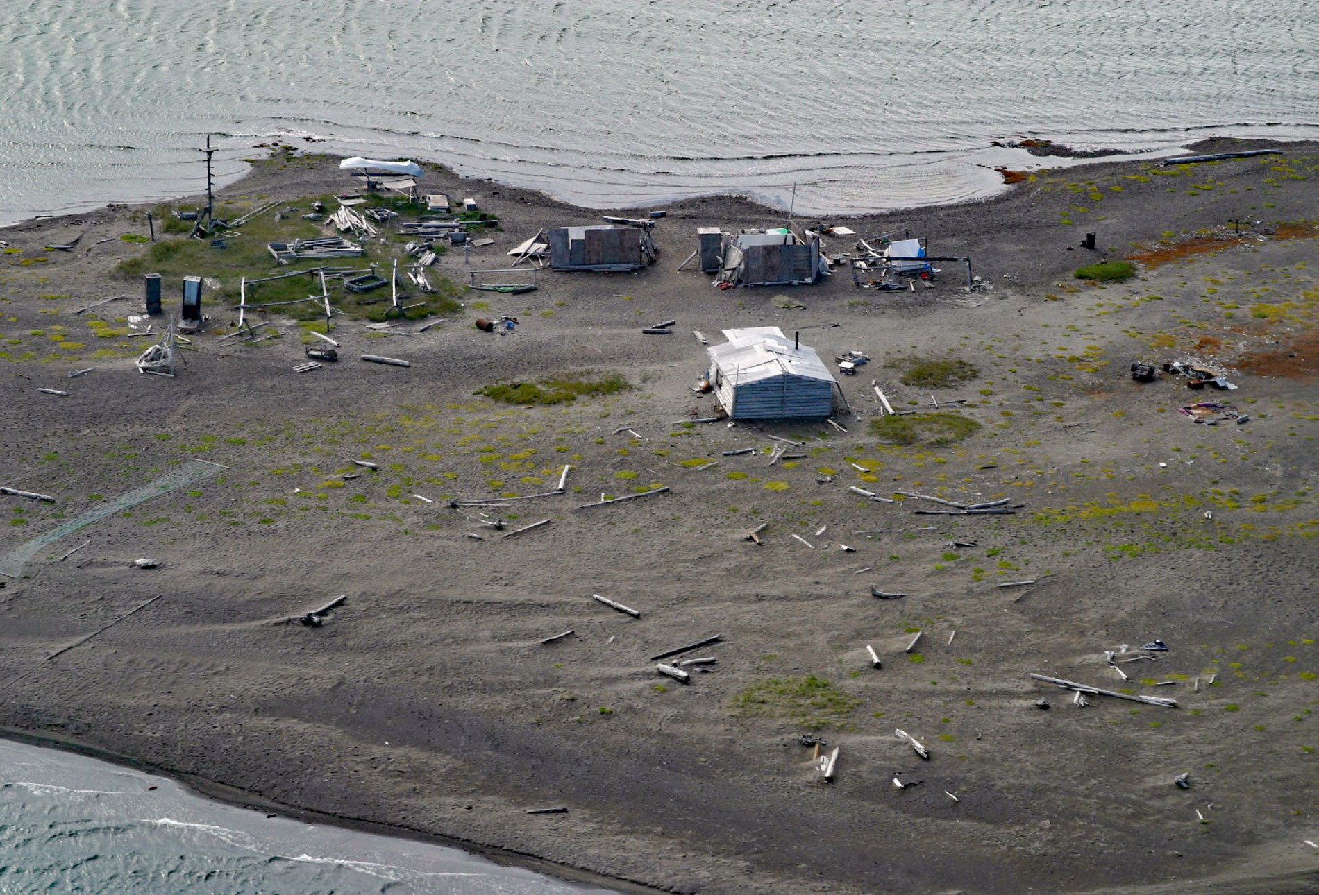
Griffin Point, also called Uqsruqtalik in the Iñupiat language, is within the Arctic National Wildlife Refuge, about 240 miles (387 km) west-northwest of Tuktoyuktuk and 15 miles (24 km) southeast of Kaktovik, Alaska. The point connects the mainland to a barrier spit in the Beaufort Sea and separates Oruktalik Lagoon from Pokok Lagoon. Uqsruqtalik means “place where there is oil on top of the ground”.
Griffin Point is the site of an old village that still existed in 1918 when Archdeacon Hudson Stuck and his party stopped here. Stuck was an early explorer of Alaska, a British native who became an Episcopal priest, social reformer, and mountain climber. He and Harry P. Karstens co-led the first expedition to successfully climb Denali in June 1913. The Norwegian trapper John Olsen later built a trading post at Uqsruqtalik. Sometime in the mid-1930s, Fred and Dorothy Gordon, who had used Uqsruqtalik as a summer fish camp, began living here with their family year-round. Uqsruqtalik is one of Kaktovik’s most popular summer camps, used every July and August to fish and to hunt seal, ugruk (bearded seal), caribou, black brant, and small game.
The Arctic National Wildlife Refuge comprises 19 million acres (7.7 million ha) of the north Alaskan coast. The land is situated between the Beaufort Sea to the north, the Brooks Range to the south, Prudhoe Bay to the west, and the Canadian border to the east. It is the largest protected wilderness in the United States and was created by Congress under the Alaska National Interest Lands Conservation Act of 1980. Section 1002 of that act deferred a decision on the management of oil and gas exploration and development of 1.5 million acres (610,000 ha) on the coastal plain. Political controversy surrounds drilling for oil in this area with much debate about the amount of economically recoverable oil, as it relates to world oil markets, weighed against the potential harm oil exploration might have upon the natural wildlife, in particular, the calving ground of the Porcupine caribou herd. Read more here and here. Explore more of Griffin Point here:

