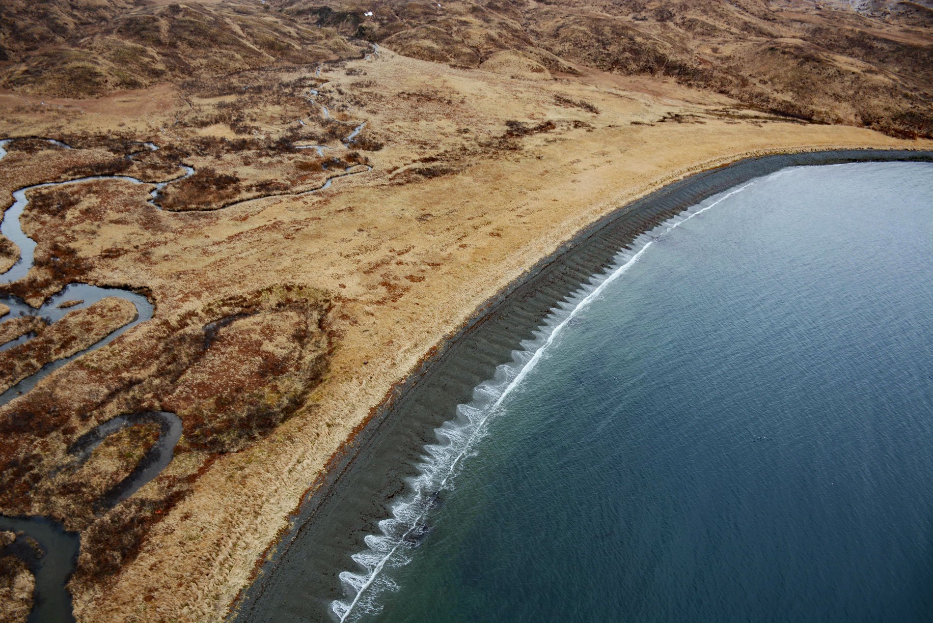
Ugadaga Bay is part of Beaver Inlet, one of the large embayments nearly bisecting Unalaska Island in the Eastern Aleutians, about 141 miles (227 km) southwest of False Pass and 5.5 miles (9 km) southeast of Dutch Harbor, Alaska. In 1888, Beaver Inlet was known as Sea Otter Bay which was a name translated from the Russian “Bobrovoy Guba” by the U.S. Bureau of Fisheries. Beaver Inlet is 18 miles (29 km) long and 5 miles (8 km) wide, and partly formed by Sedanka Island on the south side.
Sedanka Island was the location of Biorka, an Aleut Unangan village that became a major Russian trading center for otter and fox pelts. In June 1778 and again in October, Captain James Cook anchored the HMS Discovery and HMS Resolution in Beaver Inlet. Cook’s journals provide the best accounts of conditions in Biorka and the Eastern Aleutians during the years of Russian occupation. The Unangan people from Biorka used a portage trail between Ugadaga Bay and the village of Unalaska and would make the overland trek with their kayaks. The Ugadaga portage is ancient and may have been used for more than 9,000 years. The trail was also used by the U.S. military during the Aleutian Campaign of World War II to bring supplies to a communication post in Ugadaga Bay.
Anticipating an invasion by Imperial Japanese forces during World War II, the U.S. military evacuated all the inhabitants of Biorka and transported them to Southeast Alaska for internment. After the war, few people returned and the village was eventually abandoned. The military deployed thousands of Rommel stakes near potential landing beaches including Ugadaga Bay. Rommel stakes, also known as screw pickets, were a choice defensive weapon used as supports for barbed wire. Many of the rusted stakes remain and are considered a local hazard. A popular recreational trail now follows the Unangan portage route. Read more here and here. Explore more of Ugadaga Bay and Beaver Inlet here:

