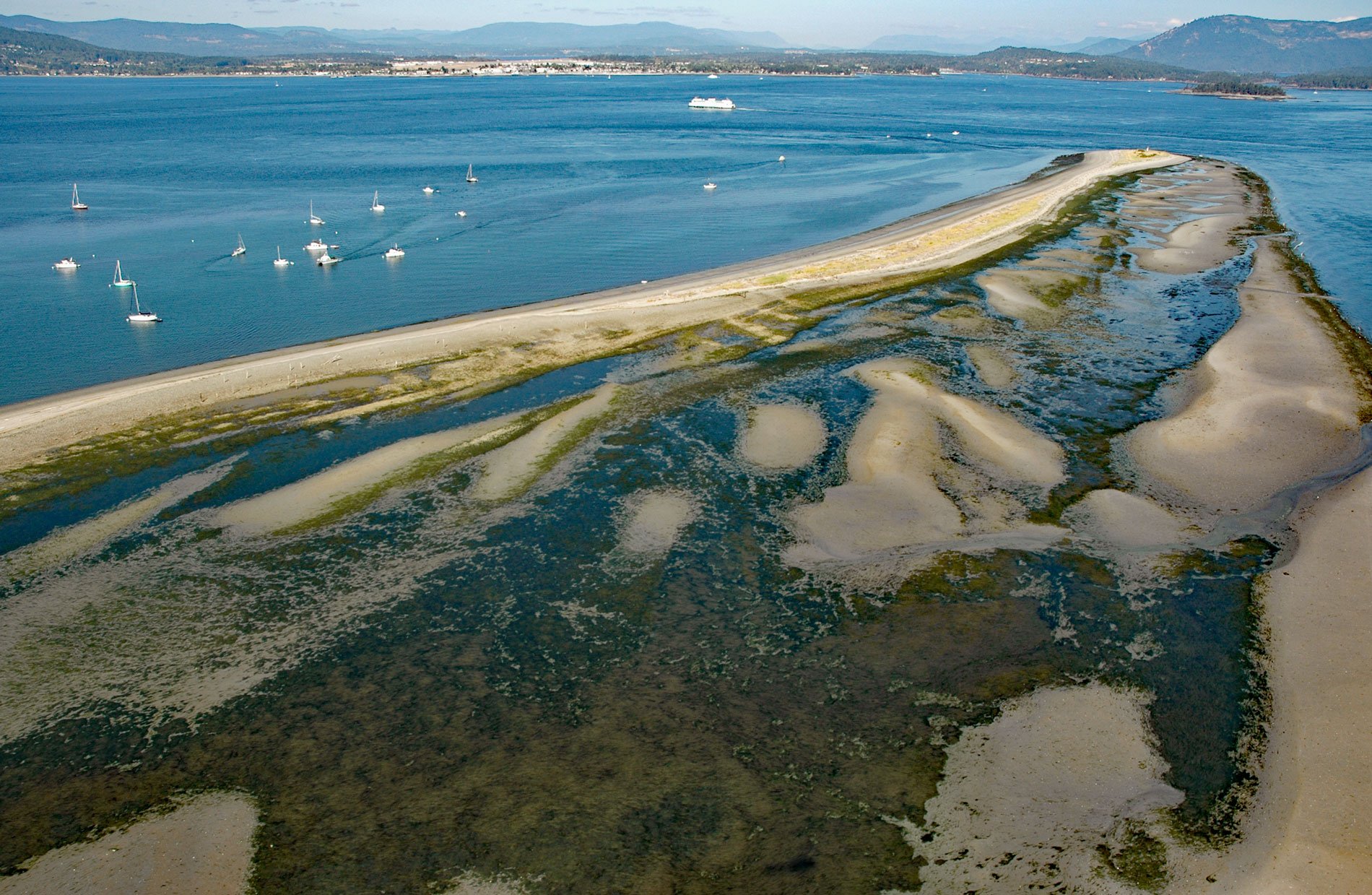
Sidney Island is one of the southern Gulf Islands located in Haro Strait, about 45 miles (73 km) south-southwest of Vancouver and 2.8 miles (4.5 km) east of Sidney, British Columbia. The original name for the island was Sallas Island, but in 1859, it was renamed by Captain George H. Richards on the HMS Plumper for Frederick W. Sidney who also served in the survey branch of the Royal Navy. Sidney Spit is at the north end of Sidney Island and about 3 miles (5 km) from the community of Sidney on Vancouver Island. The sandspit is a narrow strip of land formed by the converging currents of Sidney Channel to the west and Miners Channel to the east that deposit sediments eroded from the southern island bluffs.
Sidney Island was one of the earliest places settled on the Pacific Coast of British Columbia since it was on the 1858 gold rush route from Fort Victoria on Vancouver Island to the Fraser River Canyon on the mainland. In 1859, the Hudson’s Bay Company began offering land for sale on the island. From 1906 to 1915 the Sidney Tile and Brick Company operated a kiln and brickworks using the island’s fine clay. Broken red bricks can still be found along the shoreline and underbrush. In 1910, a group of Victoria businessmen purchased Sidney Island as a hunting preserve. Fallow deer were introduced and have overgrazed the native grasses and become an ecological problem. During the world wars, the huge old-growth Douglas fir timber was logged. In 1981, about 400 acres (162 ha) on the north coast including the spit and a broad lagoon became the Sidney Spit Marine Park, and the remainder of the island was purchased by Sallas Forest Limited Partnership. This private land was subdivided and sold as residential property.
In 2003, the provincial Sidney Spit Marine Park became part of the Gulf Islands National Park Reserve to protect the salt marshes, tidal flats, and sandy beaches. The park is on the edge of the Pacific Flyway, and the tidal flats and salt marshes are often overflowing with shorebirds during the bird migrations of spring and fall. The spit is accessible only by boat and there are 21 public mooring buoys available, as well as limited space on the government dock. A walk-on ferry operates from the town of Sidney during the summer months. There are 26 walk-in backcountry campsites available on the spit but no potable water. Read more here and here. Explore more of Sidney Island Spit here:

