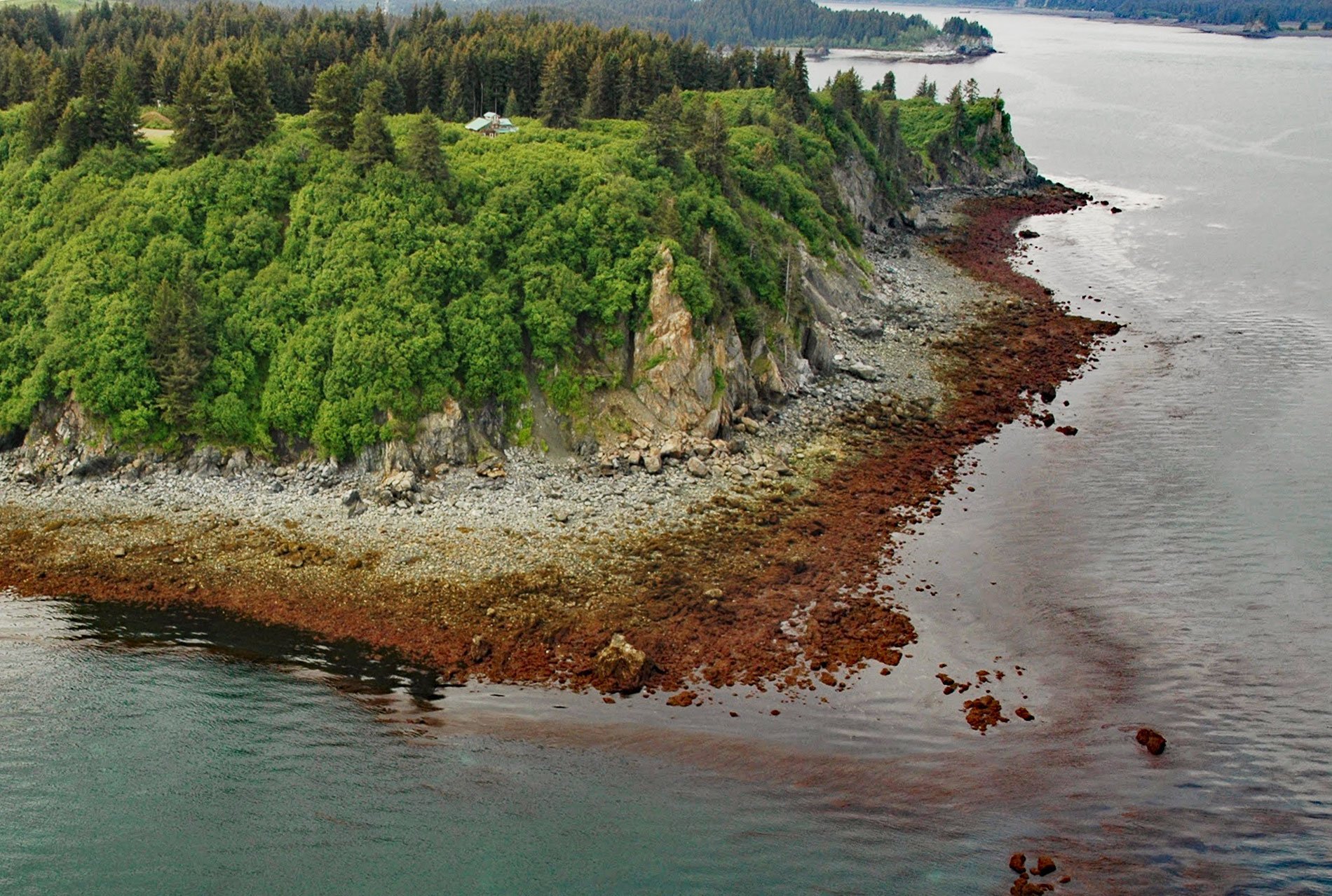
Seldovia Point is a headland on the Kenai Peninsula at the northeast entrance to Seldovia Bay on the southern shore of Kachemak Bay, about 13.5 miles (22 km) southwest of Homer and 2.2 miles (3.5 km) north of Seldovia, Alaska. The name is derived from the Russian word ‘Seldevoy’ for herring, most likely for the significant historical herring population that was overfished early in the 20th century. The area is biologically productive partly due to upwelled water from the Gulf of Alaska transported by strong tidal currents into Kachemak Bay along the southern shore. Intertidal biodiversity is relatively high since the same ocean currents also transport and distributes invertebrate larvae and algal spores that settle on diverse habitats provided by the coarse gravel shorelines. The bedrock at Seldovia Point, including the rubble comprising the gravel beaches, is part of the erosion-resistant McHugh Complex formed principally by basalt and chert from the Middle Triassic to the Early Cretaceous period or 240 to 120 million years ago.
Paleobotanists working at Seldovia Point have found fossilized plants considered to be from the early or middle Miocene age, or about 23 to 5 million years ago. Paleobotany is the branch of botany dealing with the recovery and identification of plant remains from geological contexts, and their use for the biological reconstruction of past environments. Thus far, 75 different species have been recognized in the Seldovian fossilized flora, and 51 of these occur at Seldovia Point. The fossilized plants at Seldovia Point have been more extensively collected than other flora of this age in the Kenai Formation and this is partly responsible for the comparative richness. The topographic diversity of the Seldovia area during the early Miocene was also probably a factor in the number of different plants that grew here. The rocks near Seldovia apparently represent channel deposits at or near the edge of the Cook Inlet basin and the Seldovia Point flora probably grew on well-drained slopes.
Marine biologists conduct field studies at Seldovia Point because of the diverse and abundant intertidal communities of marine macroalgae and marine invertebrates. At the lowest tides, the most abundant algae present during the summer are various species of red and brown seaweeds that blanket boulders and bedrock. The most abundant marine invertebrate in the lowest part of the beach is the breadcrumb sponge. This sponge covers the rocks and is tolerant of a wide wide range of salinity, current velocities, and exposure to powerful wave action. Read more here and here. Explore more of Seldovia Point and Seldovia Bay here:

