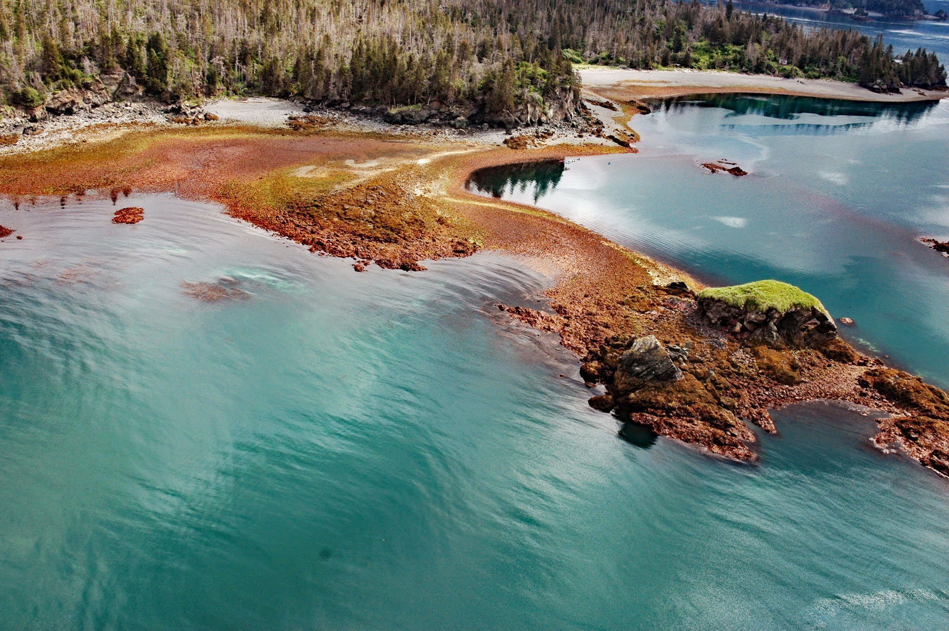
Yukon Island is about 1.5 miles (2.4 km) long, located on the southeastern shore of Kachemak Bay, 9 miles (14.5 km) south of Homer, Alaska. The island was named by William Healey Dall in 1880 for the U.S. Coast and Geodetic Survey schooner Yukon. The island is heavily wooded and has a rocky shoreline with steep eroding cliffs. Its highest point has an elevation of about 500 feet (150 m). The island subsided about 2 feet (0.61 m) during the 1964 Alaska earthquake resulting in significant erosion along the shoreline.
The schooner Yukon first entered service for the U.S. Coast Survey in 1873, having been built and outfitted in Kennebunk, Maine specifically for work in Alaska. When the Coast Survey was reorganized in 1878 to form the Coast and Geodetic Survey, and Yukon became part of the new agency. Yukon is most noted for cruises under Acting Assistant William Healey Dall in 1873, 1874, and 1880. The 1873 cruise surveyed the western half of the Aleutian Islands, the eastern half having been surveyed the previous year by the U.S. Coast Survey schooner USCS Humboldt. The 1874 cruise first proceeded to Sitka in Southeast Alaska, and then west along the coast of the Gulf of Alaska as far as Unalaska in the Aleutians, and then entered the Bering Sea and visited Nunivak Island and the Pribilof Islands before returning to Sitka. In 1880, Yukon initially followed much the same course as in 1874, but also included stops at Plover Bay (now Provideniya Bay) on the coast of Siberia, the Diomede Islands, and Point Belcher on Alaska′s Chukchi Sea coast. A particular focus of these trips was to correct the position of various bays and islands, which were often misplaced by as much as 20 nautical miles (37 km) on the charts of the era, and to document compass variation. Yukon later entered commercial service as Elwood and was wrecked in 1895.
An archaeological site was discovered on Yukon Island in 1924, at which time ancient female human remains were found in an eroding shell midden. In the 1930s, the site was investigated in detail by Frederica de Laguna, and she was able to construct a 1500-year chronology of the site which laid the foundation for later research in the region. This site was designated a National Historic Landmark in 1962 and was listed on the National Register of Historic Places in 1966. A detailed survey of the island identified five additional midden sites in 1976. One of these has a midden 12 feet (3.7 m) deep, with historical refuse layered on top. The midden is part of what is interpreted as a village site, which has yielded radiocarbon dates of CE 1100–1300. Read more here and here. Explore more of Yukon Island here:

