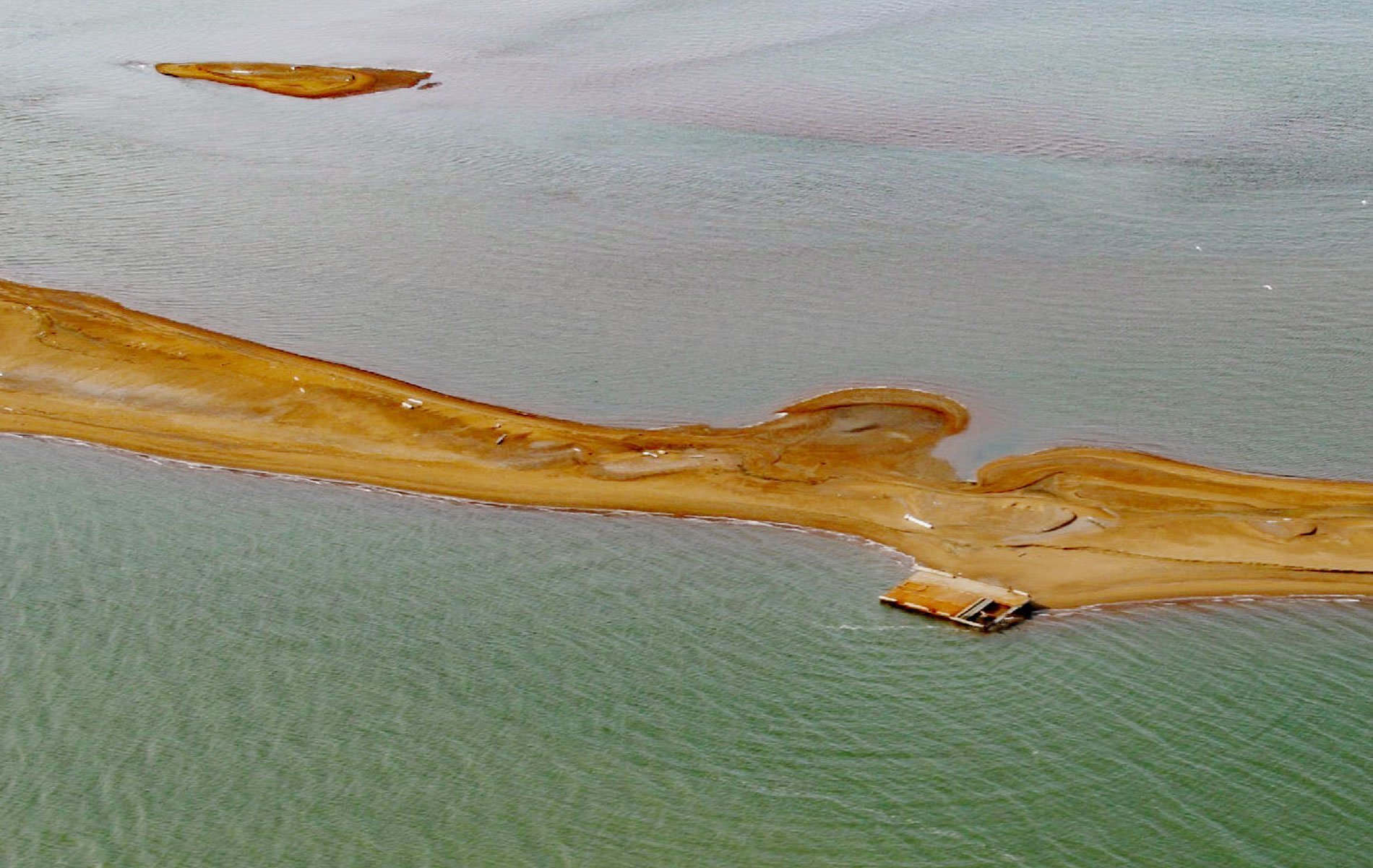
lgalik Island is an arctic barrier island and the easternmost of the Plover Islands, 2.5 miles (4 km) long, at the entrance to Dease Inlet, 36 miles (58 km) east-southeast of Utqiagvik, Alaska. The Iñupiat name was reported in 1910 by Leffingwell to mean “window”. Dease Inlet is a bay about 7 miles (11 km) across, between Christie and Tangent Points on the Arctic Coastal Plain. The bay was named for Peter Warren Dease by Thomas Simpson on August 2, 1837. The Iñupiaq name is “Kilulea”, shown on charts from 1864 by Commander Rochfort Maguire of the British Royal Navy.
Dozens of ships have been wrecked off the coast of Alaska since Russians, Europeans, and Americans started exploring and exploiting the Arctic. Ships supporting early explorers of the Northwest Passage were often trapped by the moving ice and crushed. From 1864 to 1865, during the American Civil War, the Confederate Navy CSS Shenandoah undertook commerce raiding in an effort to disrupt the U.S. economy, resulting in the capture, sinking, or bonding of 38 merchant vessels, mostly New Bedford whaling ships. In 1871, a fleet of 33 American whaling ships was trapped in the Arctic ice and subsequently abandoned. During World War II and subsequent Cold War, the U.S. military established outposts along the coast that were in constant need of fuel and supplies delivered by barges. Many of these barges broke free from their towboats and either drifted out to sea or were washed ashore. One barge now rests on Cooper Island and another on Igalik Island.
The Canadian Arctic Expedition of 1913–1916 was a scientific voyage in the Arctic Circle organized and led by Vilhjalmur Stefansson. However, 1913 was a particularly bad year for Arctic navigation and all of the expedition ships were icebound before they could reach their initial destination of Herschel Island. The principal ship of the expedition, the Karluk, drifted in the Beaufort and Chukchi Seas and eventually was crushed by the ice and sank. The crew and expedition staff survived on the ice and made their way to Wrangell Island months later. Eleven men perished before they were finally rescued by the vessel King & Winge in September of 1914. Read more here and here. Explore more of Igalik Island here:

