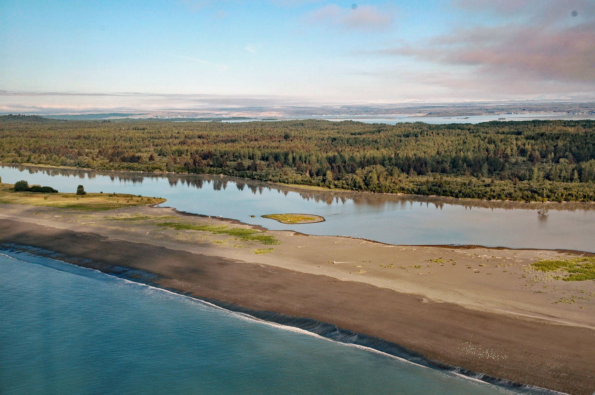
Sudden Stream drains the Malaspina Coastal Plain, flowing generally south for 2 miles (3.2 km) from the outlet of Malaspina Lake, a proglacial lake at the terminus of the Malaspina Glacier, to a lagoon formed by a barrier spit called Schooner Beach on Yakutat Bay, about 207 miles (333 km) east-southeast of Cordova and 18 miles (29 km) northwest of Yakutat, Alaska. Malaspina Glacier is a piedmont glacier formed by the Agassiz Glacier, Marvine/Hayden Glacier, and Seward Glacier. The latter is the largest and starts on the south flank of Mount Logan in the Saint Elias Mountains. Malaspina Glacier was originally named the Malaspina Plateau in 1874 by William H. Dall, who at that time did not recognize its true character because of a thick cover of rock debris. Dall named the feature for Captain Don Alejandro Malaspina, an Italian navigator and explorer of the Pacific Northwest in the service of Spain in 1791. The glacier name was first published by the U.S. Geological Survey in 1951.
Prior to the arrival of Europeans, the Yakutat region was inhabited by Tlingit and Eyak people. The Tlingit originated from the Alexander Archipelago and interior lands to the east, and expanded northward to Dry Bay, and then into the Yakutat Bay region. They likely walked along the shoreline as the great coastal glaciers receded, or by traveled inland over Chilkat Pass and down the Alsek River to Dry Bay, while others paddled canoes from Cross Sound or farther south. The Tlingit settled in the area of Yakutat Bay and westward to Cape Suckling, but found the coastal fringe already inhabited by the Eyak. The Eyak emanated from an interior Athabaskan language people, apparently moving down the Copper River to its mouth, then southeastward across the Bering Glacier to occupy the coast between Yakataga and Cape Fairweather. By the late 18th century, the two cultures had blended, creating the present-day Yakutat Tlingit who retained the Tlingit language and social organization. However, some Eyak retreated northward, settling in areas just west of the Copper River Delta, in the villages of Eyak and Alaganik near present-day Cordova. Today, the territory of the Yakutat Tlingit extends along the Gulf of Alaska between Icy Bay in the northwest to Dry Bay in the southeast.
Malaspina Glacier covers 543,632 acres (220,000 ha) and the movement of this ice stream from the Saint Elias Mountains to the Gulf of Alaska has excavated and shaped the relatively flat and narrow terrain of the coastal forelands. The gradual retreat of the glacier has exposed new habitat for terrestrial plants and animals. The landscape between the glacier terminus and the Gulf of Alaska is characterized by sandy beaches, tidal mud flats, abundant wetlands, recently colonized Sitka spruce and western hemlock forests, and a mosaic of deciduous trees and shrubs including, cottonwood, alder, and willow along the riparian margins. Glacial lakes, rivers, and streams provide important spawning and rearing habitats for anadromous fishes with 78 documented water bodies between Yakutat Bay and Icy Bay supporting sockeye, pink, coho, and king salmon, as well as eulachon. A unique denizen of the coastal plain is the Malaspina Bear, a distinct population of brown bears that forages the beaches, forests, and lake country still emerging from the ice age. Brown bear diet in this region is likely consistent with other coastal populations and includes grasses, sedges, berries, and devil’s club which likely balance their primary diet of salmon and terrestrial meat such as moose, which browse this recently deglaciated landscape. Read more here and here. Explore more of Sudden Stream and Malaspina Coastal Plain here:

