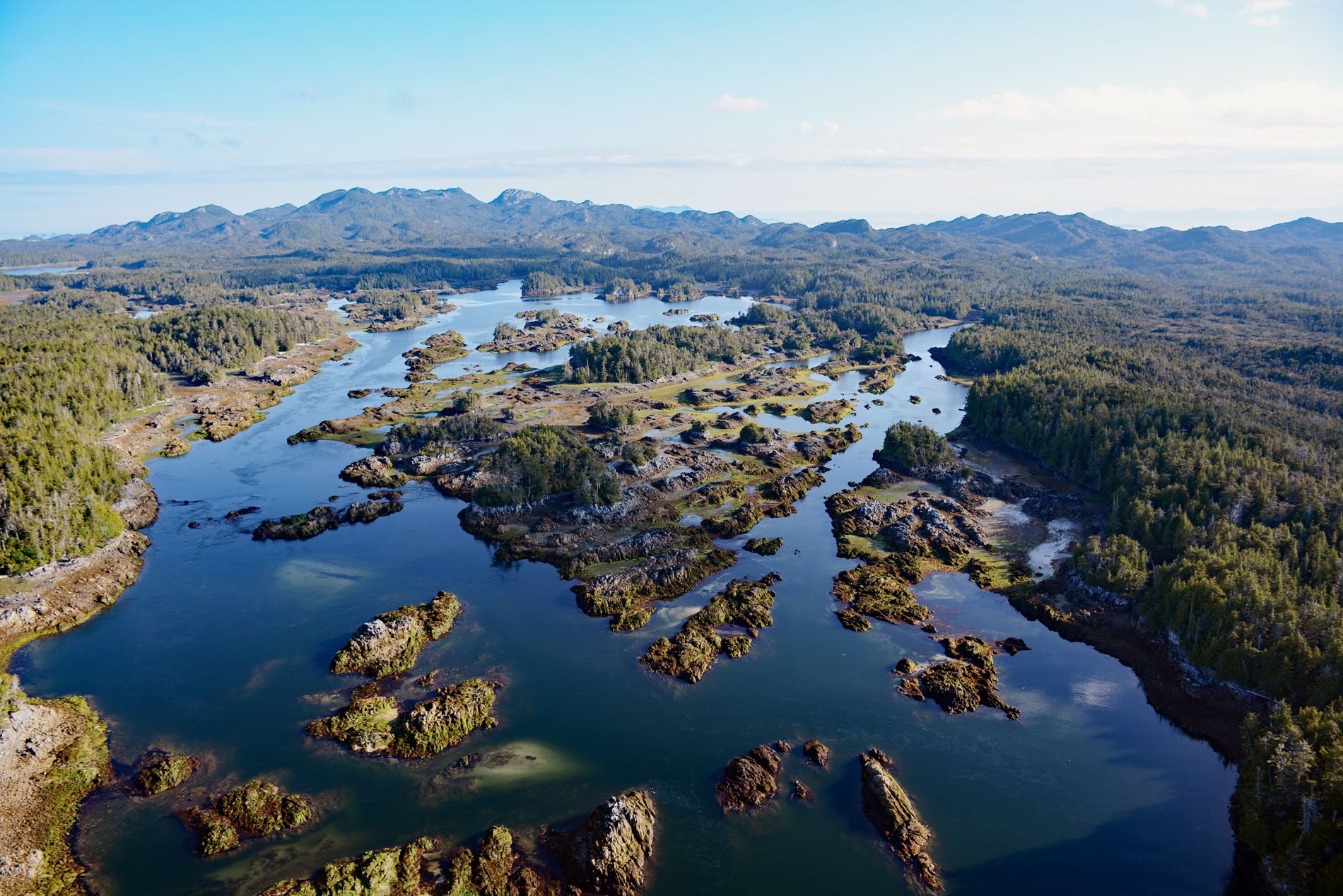
Stephens Island is located in Hecate Strait, about 93 miles (150 km) south-southeast of Ketchikan and 19 miles (30 km) southwest of Prince Rupert, British Columbia. The island is part of the Ksgaxl/Stephens Islands Conservancy that protects an entire island group including Prescott Island, Philip Island, Arthur Island, Skiakl Island, the Archibald Islands, and the Tree Nob Island Group.
The Ksgaxl/Stephens Islands Conservancy is part of a world-class network of protected areas along the north and central coast of British Columbia. The islands contain high-value habitats for birds, marine mammals, and marine invertebrates, and adjacent to Stephens Island there is also a rockfish conservation area. There are 37 species of rockfish caught in fisheries off the coast of British Columbia, and inshore species (which include yelloweye, quillback, copper, china, and tiger) are usually caught with hook and line gear in rocky reef habitats.
Monitoring programs indicate that inshore rockfish, especially within the inland waters of Vancouver Island, are at low levels of abundance. Since 2002, Rockfish Conservation Areas have been established to mitigate further population declines. Learn more about the conservation areas here and here. Explore more of Stephens Island and Hecate Strait here:

