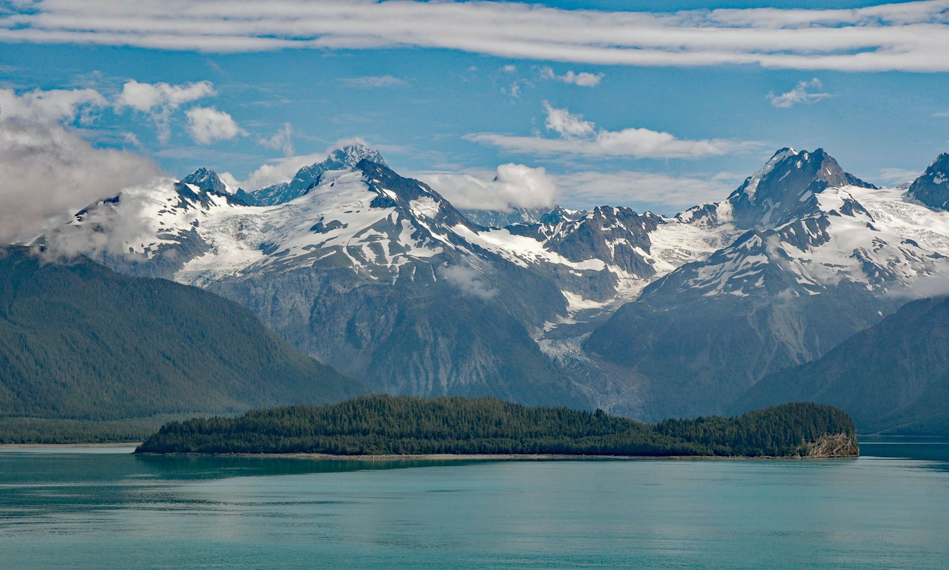
Cenotaph Island is approximately in the middle of Lituya Bay, a fjord formed primarily by the Crillon and Lituya glaciers in Glacier Bay National Park and Preserve, about 117 miles (189 km) west-northwest of Juneau and 97 miles (156 km) southeast of Yakutat, Alaska. Mount Wilbur and Mount Orville in the Fairweather Range rising to over 10,000 feet (3,050 m) at the head of the bay. The island was named “Isle du Caenotaphe” in 1786 by Captain La Pérouse. La Pérouse named the bay “Port des Français” meaning the “bay of the Frenchmen”. The name Lituya is a compound word in the Tlingit language meaning “the lake within the point“, so called because of La Chaussée Spit that extends south from the north shore and almost encloses the bay. The Tlingit name was obtained and used by the Russians. In 1805, Captain Yuri Lysianskyi of the Imperial Russian Navy called it “L’tooa Bay”. In 1852, it was published in Russian as “Zaliv L’tua” by Captain Mikhail Tebenkov.
Captain Jean-François de La Pérouse was a French naval officer appointed in 1785 by Louis XVI to lead an expedition around the world. His ships were L’Astrolabe and La Boussole, both were storeships of about 500 tons reclassified as frigates for the expedition. Their exploration objectives were geographic, scientific, ethnologic, but also for evaluating the economic opportunities of whaling and fur trading. La Pérouse departed France in August 1785, rounded Cape Horn, and sailed on to Alaska where he landed in sight of Mount Saint Elias in late June 1786 and began explored the coast. On 13 July 1786, two longboats were caught in the strong violent currents at the entrance to the bay and capsized drowning 21 men. A cenotaph or memorial was erected at that time on the southeast end of the island to commemorate the event, but no trace of it has been found. La Pérouse then continued south to explore much of Southeast Alaska.
Cenotaph Island is about 3 miles (4.8 km) inside the bay mouth and is 0.8 miles (1.3 km) across. The island has resisted the erosion of repeated glacial excursions. Bedrock is exposed or lies beneath only a thin veneer of soil, glacial drift, or talus at water level. The bedrock exposed on Cenotaph Island is sedimentary and volcanic rocks of the Tertiary age. The two arms at the head of Lituya Bay, with Lituya Glacier terminating in the north arm and Crillon Glacier terminating in the south arm, are part of a great trench that extends for many miles to the northwest and southeast along the southwest front of the Fairweather Range and the southern part of the Saint Elias Mountains. This trench is the topographic expression of the Fairweather fault. Lituya Bay is well known for four recorded tsunamis in 1854, 1899, 1936, but the best documented is the 1958 megatsunami that inundated much of Cenotaph Island. On July 9, 1958, a strike-slip earthquake of magnitude of 7.8 to 8.3 took place on the Fairweather Fault and triggered a rockslide of 40 million cubic yards (30 million cubic meters) that sent a giant wave out through the fjord. Three fishing boats were anchored in the bay when the wave estimated at 80 feet (24 m) high arrived. One boat got underway but was destroyed by the wave with no survivors, one was washed over the spit and sank but the crew was rescued, and the third boat rode over the wave. Read more here and here. Explore more of Cenotaph Island and Lituya Bay here:

