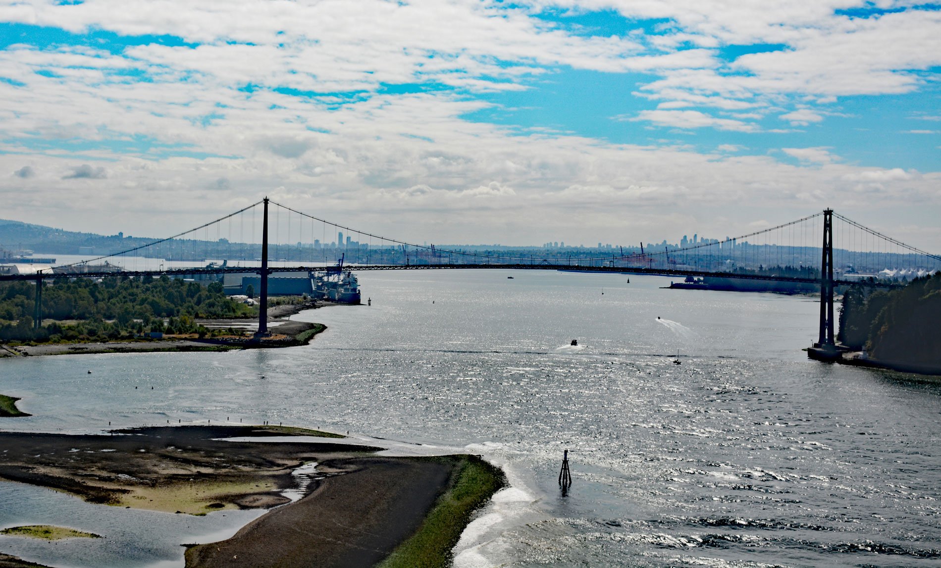
Lions Gate Bridge spans Burrard Inlet at the First Narrows, a strait about 1,312 feet (400 m) wide between Prospect Point in Stanley Park to the south and the sandy shoals of the Capilano River mouth to the north, about 2 miles (3.2 km) southeast of West Vancouver and 2 miles (3.2 km) northwest of downtown Vancouver, British Columbia. Lions Gate refers to The Lions, a pair of jagged peaks along the North Shore Mountains. The West Lion has an elevation of 5,400 feet (1,646 m) and the East Lion has an elevation of 5,269 feet (1,606 m). Both peaks can be seen from much of the Greater Vancouver area, and are one of the most recognizable Vancouver landmarks. Burrard Inlet is a fjord formed during the Last Glacial Period that now separates the City of Vancouver to the south from the coastal slopes of the North Shore Mountains. The First Narrows separates the outer inlet from the Port of Vancouver. The outer inlet is open to the Strait of Georgia with the southeastern coast forming English Bay. The head of Burrard Inlet splits into two arms. Indian Arm is about 12 miles (19 km) long and extends north between Mount Seymour and Eagle Mountain to the mouth of the Indian River. The second arm is Moody Inlet that extends east for 3.7 miles (6 km) to the community of Port Moody.
Archaeological records indicate that First Nations people have lived in the Burrard Inlet area for 8,000 to 10,000 years, and today is included in the traditional and unceded territories of the Squamish, Musqueam, and Tsleil-Waututh bands of the Coast Salish people. Historical villages were situated at present-day Stanley Park, False Creek, Kitsilano, Point Grey, and near the mouth of the Fraser River. In 1791, Juan Carrasco and José María Narváez with the Santa Saturnina were the first European explorers to enter the western part of the inlet which they named Canal de Floridablanca. When Santa Saturnina was in the vicinity of Point Grey, Narváez noted large amounts of fresh water and correctly deduced the presence of a large river nearby, but did not see the Fraser River. This led to one of the prime objectives of the 1792 expedition of Dionisio Alcalá Galiano, which was to determine the exact nature of the Canal de Floridablanca. Galiano spent many days exploring the general area, realizing a great river was there and sighting Burrard Inlet itself on June 19, 1792. Just days later, the inlet was explored by Captain George Vancouver, who named the inlet after his friend and former shipmate Sir Harry Burrard. The calm waters of Burrard Inlet above the First Narrows forms the primary industrial port facility for the City of Vancouver. While some of the shoreline is residential and commercial, much of it is port-related facilities including rail yards, terminals for intermodal container and bulk cargo ships, grain elevators, and oil refineries. Freighters waiting to load or discharge cargo in the inlet often anchor in English Bay.
The idea of a bridge spanning Burrard Inlet dates to land speculators in 1890 who envisioned a faster connection from Vancouver to potential land developments on the north shore. The decision to fund the construction of a bridge was put to the electorate of Vancouver in 1927 but was defeated. Alfred James Towle Taylor, an engineer with an interest in land development on the north shore, was able to convince the Guinness family to purchase 4,700 acres (1,902 ha) of mountainside property on the north shore and pay for the bridge construction through a syndicate called British Pacific Properties Limited. In 1933, a second vote was held that passed in favor of the project. Funds were approved contingent on local materials and labor be used as much as possible, albeit with an Asian exclusion clause, to provide employment during the Great Depression. The bridge was designed by Monsarrat and Pratley of Montreal, and constructed by Swan Wooster Engineering, Parsons Brinckerhoff Quade & Douglas, Rowan Williams Davies & Irwin Inc., Canron Western Constructors, Dominion Bridge Company, and American Bridge Company. Construction began on March 31, 1937, and the completed bridge was opened to traffic on November 14, 1938. In 1955, the Guinness family sold the bridge to the province of British Columbia at the cost of the original construction. Read more here and here. Explore more of Lions Gate and Burrard Inlet here:

