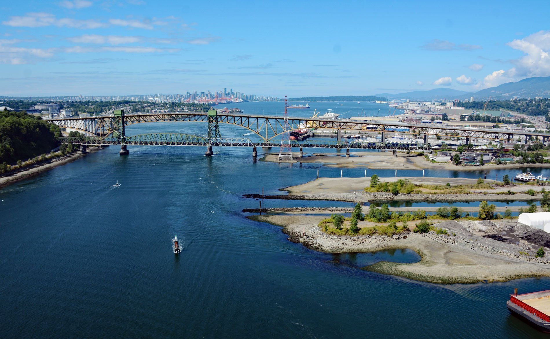
The Seymour River flows from a large reservoir into Burrard Inlet in North Vancouver, British Columbia. The river is named after Frederick Seymour who was the governor of British Columbia from 1864 until his death from acute alcoholism aboard the HMS Sparrowhawk at Bella Coola in 1869. The upper portion of the river and the reservoir are part of the Seymour watershed which is controlled by Metro Vancouver Regional District, a political body and corporate entity designated by provincial legislation as one of 29 regional districts in British Columbia.
The Metro Vancouver watersheds supply potable water to approximately 2.4 million residents in the Lower Mainland of British Columbia. They provide tap water to a land area covering more than 1,004 square miles (2,600 sq km), including cities such as Vancouver, Langley, and Richmond. From west to east, the watersheds are the Capilano with 48297 acres (19,545 hectares), the Seymour with 30,579 acres (12,375 hectares), and the Coquitlam with 50,560 acres (20,461 hectares). The Seymour River has been the main water supply for North Vancouver since 1907. The first intake was built in 1907 and the first Seymour Dam was constructed in 1927. The present-day Seymour Falls Dam was constructed in 1961.
The Seymour Salmonid Society is a non-profit organization operating the Seymour River Fish Hatchery & Education Centre below the Seymour Falls Dam. The main purpose of the Seymour Hatchery is to enhance fish stocks in the Seymour River that have been cut off from their traditional spawning grounds by the construction of the Seymour Falls Dam. The hatchery collects eggs from returning adult salmon. The eggs are fertilized and the alevin grow into fry which are released as smolts. The hatchery raises coho, pink, and chum salmon, and steelhead trout until they are ready to start their migration to the ocean. Each year the hatchery raises 30,000 steelhead and 120,000 coho smolts. Of these, 40,000 fry are released into the reservoir above the dam, around 35,000 fry are released into habitat projects and approximately 45,000 are released as smolts. Every second year about 500,000 pink and 500,000 chum smolts are released into the Seymour watershed. Read more here and here. Explore more of the Seymour River here:

