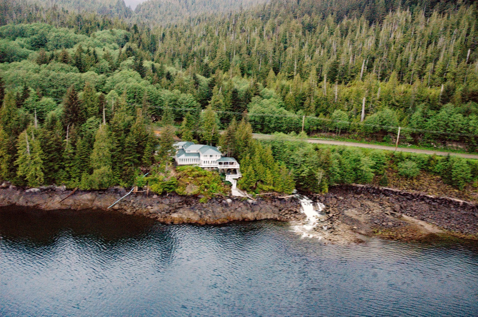
Whitman Creek starts from Blue Lake at an elevation of about 2,660 feet (811 m) on the south flank of Roy Jones Mountain on the southeast coast of Revillagigedo Island and flows generally southeast for 2.4 miles (4 km) to Whitman Lake, and then another 0.7 miles (1.1 km) to George Inlet, about 14 miles (23 km) north of Metlakatla and 7 miles (11 km) east-southeast of Ketchikan, Alaska. Whitman Creek was named in 1966 by the U.S. Forest Service after Whitman Lake, a local name published in 1917 by U.S. Coast and Geodetic Survey. The underlying bedrock mostly comprises metamorphic rocks from the Cretaceous period that formed when sedimentary rocks called turbidites were heated by a magma intrusion that slowly cooled deep beneath the surface. The metamorphic rocks are schists and hornfels and the igneous rocks are called gabbro.
In 1906, the New England Fish Company began construction on a cold storage facility south of Ketchikan, but the local power utility could not meet the electricity needs for the freezers and in 1927, the company built a 1,200-kilowatt hydroelectric plant on Whitman Lake. The lake was a natural impoundment of Whitman Creek when New England Fish Company constructed a concrete gravity arch dam 39 feet (11.8 m) high and 220 feet (67 m) long with a spillway 40 feet (12 m) wide, to increase the reservoir’s area to 148 acres (19 ha). In 2013, Ketchikan Public Utilities increased the hydropower generating capacity to 4.6 megawatts to provide an additional source of electricity for the city of Ketchikan and Saxman Village. The project also created a new water diversion from Achilles Creek to Whitman Lake to increase water supply and replaced a penstock that provides water to the Whitman Lake Hatchery.
Whitman Lake Hatchery is located at the head of Herring Bay, an estuary that extends northwest for 0.8 miles (1.3 km) from George Inlet. Herring Bay was first reported by Harry C. Fassett of the U.S. Bureau of Fisheries in 1904 and the name is likely derived from the village of Herring Cove, a residential suburb of Ketchikan. The hatchery has been operational since 1978 and was designed as a central incubation facility where a large number of salmon are incubated and reared for release at remote sites away from the facility. The hatchery is critical to local fisheries since adult fish returning to the site are the source of eggs for Chinook, fall coho, and summer coho salmon. Chinook salmon released at Whitman Lake drive Ketchikan’s most popular and productive sport fishery at Mountain Point where the fish congregate before entering hatchery raceways. Several thousand fish are caught annually in this urban sport fishery. Read more here and here. Explore more of Whitman Creek and Herring Bay here:

