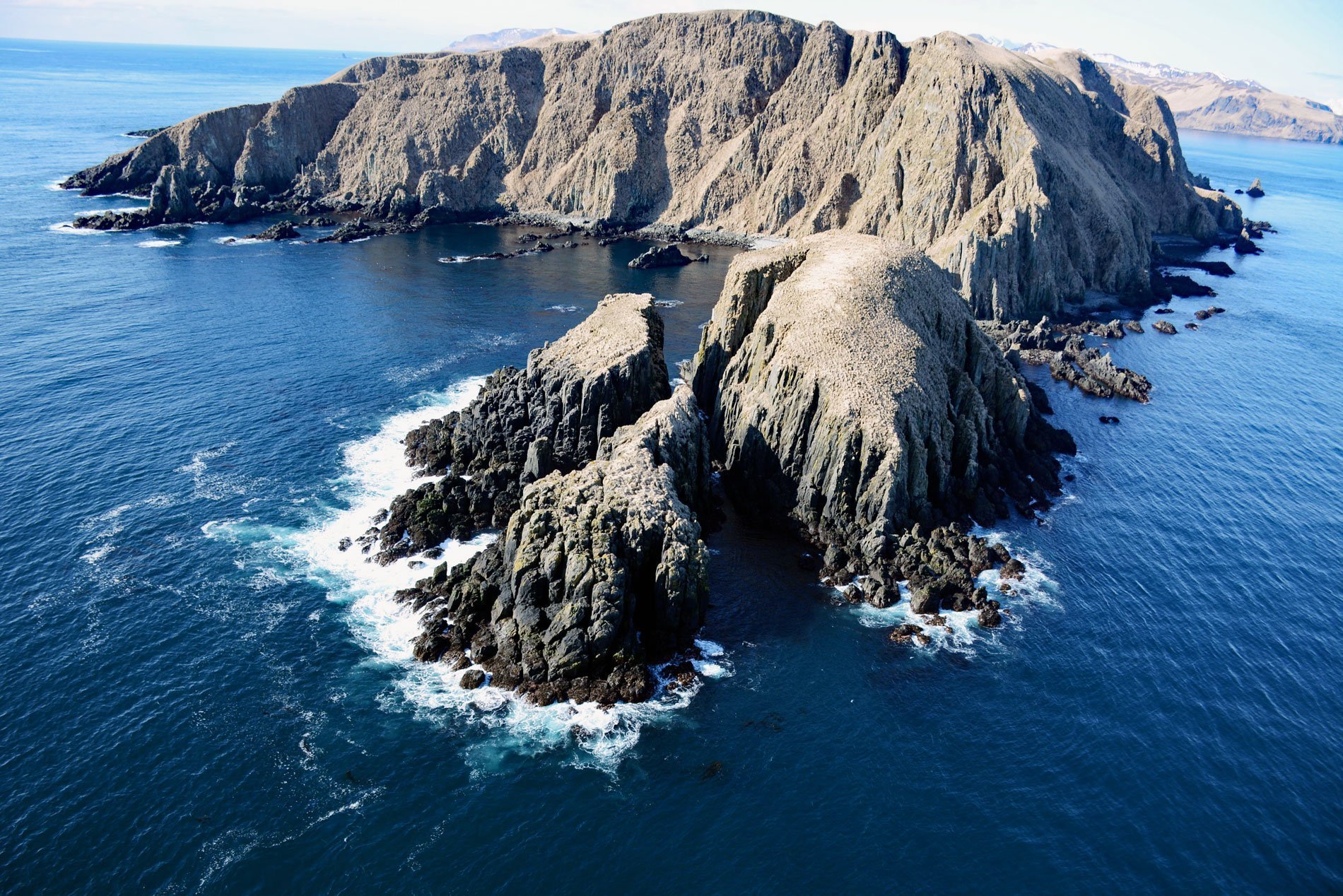
Egg Island is about 0.7 miles (1.1 km) across, located 2 miles (3.2 km) northeast of Cape Sedanka and 1.4 miles (2.3 km) southeast of Old Man Rocks in the Fox Islands of the Aleutian Archipelago, 20 miles (32 km) east-southeast of Dutch Harbor, Alaska. The name is a translation from the descriptive Russian name given in 1792 by Lieutenant Sarichev of the Imperial Russian Navy, as “Ostrov Yaichnoy”, meaning “island of eggs”. It was published by the U.S. Bureau of Fisheries as “Egg Island” in 1888. Old Man Rocks are off the northeast tip of Sedanka Island and were named by J.J. Gilbert, the commander of the U.S. Coast and Geodetic Survey steamer Pathfinder during 1900-01.
Several small villages were historically located in Beaver Inlet, and the largest village was Biorka located at the eastern end near Sedanka Pass. The chief of Biorka controlled hunting and access to the outer coast where seals were numerous. Other villages were required to gain permission to hunt outside of Beaver Inlet from the village chief who would station sentries on top of Old Man Rocks to watch for poachers. The taller of the two prominent rocks is about 100 feet (30 m) high and flat-topped and would have provided both safety and a platform for keeping an eye on any hunting activities.
Thousands of vessels navigate through Unimak Pass every year. In 2012, a total of 1,961 deep-draft vessels made 4,615 recorded transits. This great circle route through the Aleutians is more commonly used for westbound voyages with 3,109 (67%) of the recorded transits being westbound and 1,369 (30%) eastbound. In addition to Unimak Pass, smaller vessels may also use other passes such as Sedanka Pass. On October 30, 2009, the fishing vessel Carley Renee capsized near Egg Island leaving an oil sheen that was moving away from a sea lion colony located on the northern tip of the island. The crew safely abandoned the vessel and were rescued by the nearby fishing vessel Guardian. The Western Viking arrived on scene at 07:30 AM on November 1, 2009, and secured a tow line but at 3:10 PM, the Carley Renee sank in Sedanka Pass, approximately 1.5 miles (2.4 km) northwest of Egg Island. Read more here and here. Explore more of Egg Island here:

