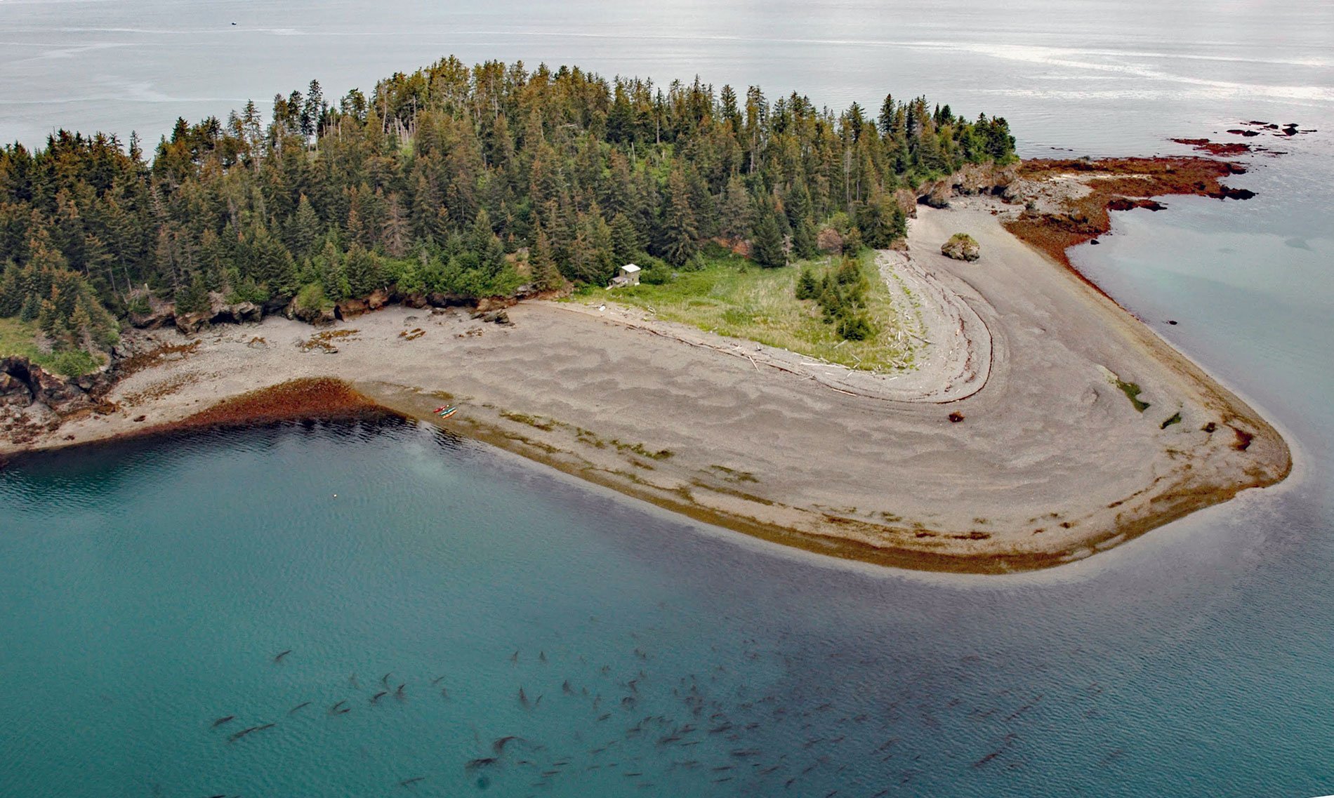
Cohen Island is about 0.3 miles (0.5 km) across, located at the north entrance to Eldred Passage, on the eastern shore of Kachemak Bay, 8 miles (13 km) south of Homer, Alaska. The island was named by William Healey Dall, of the U.S. Coast and Geodetic Survey, for a local trader who was operating here in 1880. Eldred Passage is about 0.7 miles (1.1 km) wide, southeast of Yukon Island. The water passage was named for Sarah Eldred, the wife of Marcus Baker who was a naturalist and explorer hired by Dall to collect topographic and hydrographic data.
The rocky bottom surrounding Cohen Island provides habitat for bull kelp. Bull kelp is an annual brown alga that can form extensive kelp forests along the eastern Pacific coast from central California to the eastern Aleutians where water depths are generally less than about 60 feet (18 m). Kelp forests are very productive ecosystems in the coastal ocean and are important shallow-water habitats that support an extensive food web, including algae, invertebrates, fish, seabirds, and marine mammals. The density of bull kelp forests varies considerably from year to year in Kachemak Bay, but kelp forests occur consistently each year, especially along the southern shore in narrow dense bands that reflect the steep nearshore bathymetry. The bathymetry along the north shore of Kachemak Bay provides more shallow water habitat resulting in very large, but less dense, kelp forests.
The abundance and distribution of kelp forests in Kachemak Bay and elsewhere is a function of many variables including water salinity, sedimentation, currents, and complex interactions with other plants and animals. For example, sea urchins are an aggressive herbivore that in large numbers can limit algal growth and decimate existing kelp forests. Urchins are in turn a preferred food of sea otters. In regions where sea otters were hunted to near extinction, urchin populations increased dramatically resulting in “urchin barrens”, areas devoid of kelp where kelp forests once proliferated. The recovery or reintroduction of sea otter populations in areas with urchin barrens resulted in the return of healthy kelp forests. Read more here and here. Explore more of Cohen Island here:

