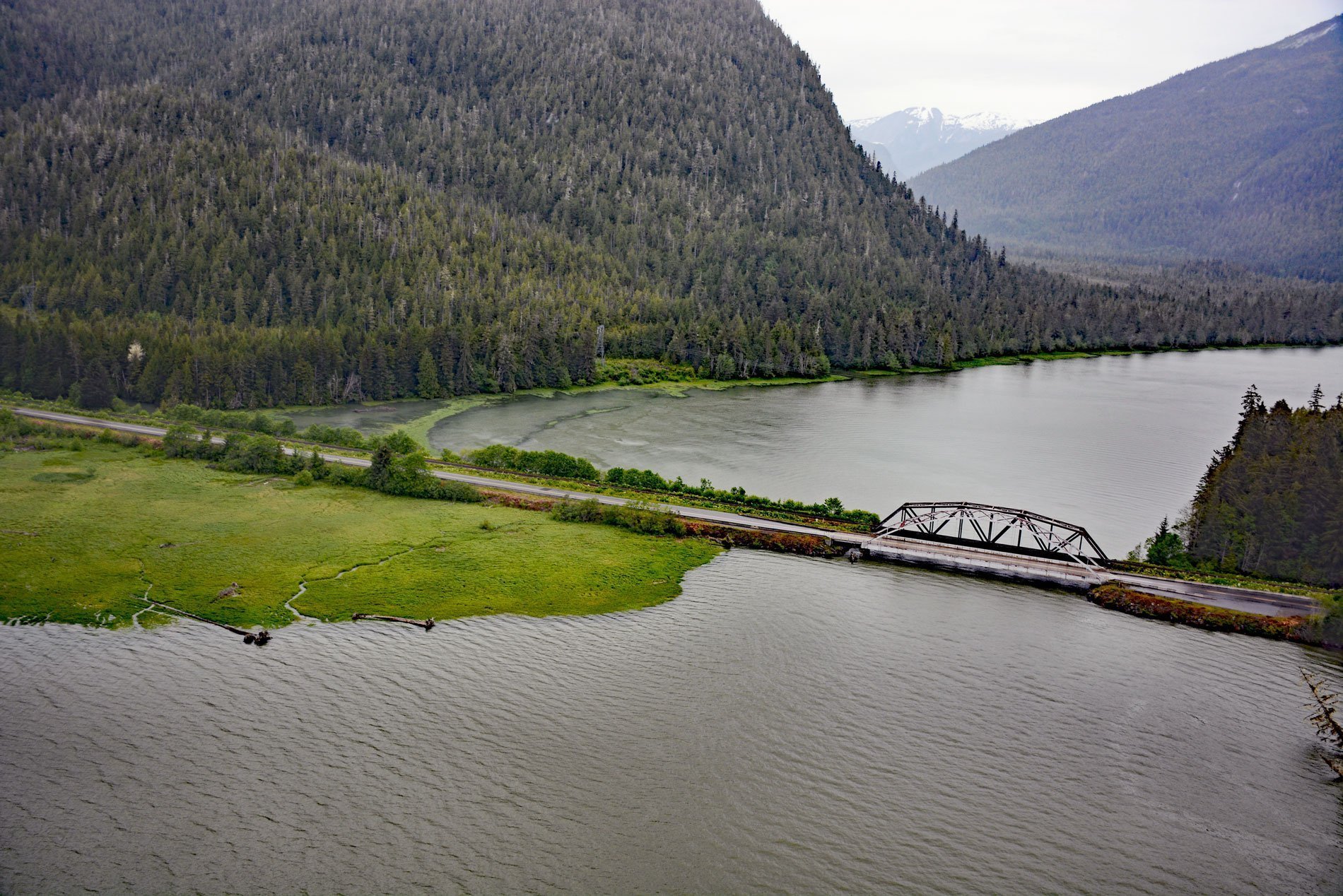
Skeena City is an abandoned community on the north shore of the Skeena River, at the mouth of the Khyex River, 22 miles (35 km) south-southeast of Prince Rupert, and 52 miles (84 km) southwest of Terrace, British Columbia. In 1908, the Grand Trunk Pacific Railway purchased the townsite, and Seattle and Vancouver investors built a large sawmill hoping to sell the surrounding property. By 1910, the community also had a cannery and a brick factory. Today, old pilings, tunnels, bricks, and metal piping are still scattered along the river shore.
The Khyex River flows through the Kitimat Ranges of the British Columbia Coast Mountains. The river valley is glacially carved with steep side profiles and filled with glacial and post-glacial sediments. The river flows south entering the Skeena River at tidewater and tidal effects extend up the Khyex valley for about 7 miles (12 km). The watershed of the Khyex River is a protected area in the traditional territories of the Lax Kw’alaams and Metlakatla Nations. The Khyex Conservancy was created in 2008 and covers 200 square miles (41,404 ha) of old-growth forests.
On November 28, 2003, an extremely rapid landslide, located 4 miles (6.8 km) upstream on Khyex River above its confluence with Skeena River, displaced a massive volume of soil and clay that blocked the river and caused flooding upstream for a distance of 6.2 miles (10 km). The landslide severed about 1150 feet (350 m) of the natural gas pipeline that served the communities of Port Edward and Prince Rupert. The landslide covered an area of 0.12 square miles (32 ha) and displaced about 4.7 million cubic meters of material. Five similar landslides have occurred in the region over the last four decades. Read more here and here. Explore more of Skeena City here:

