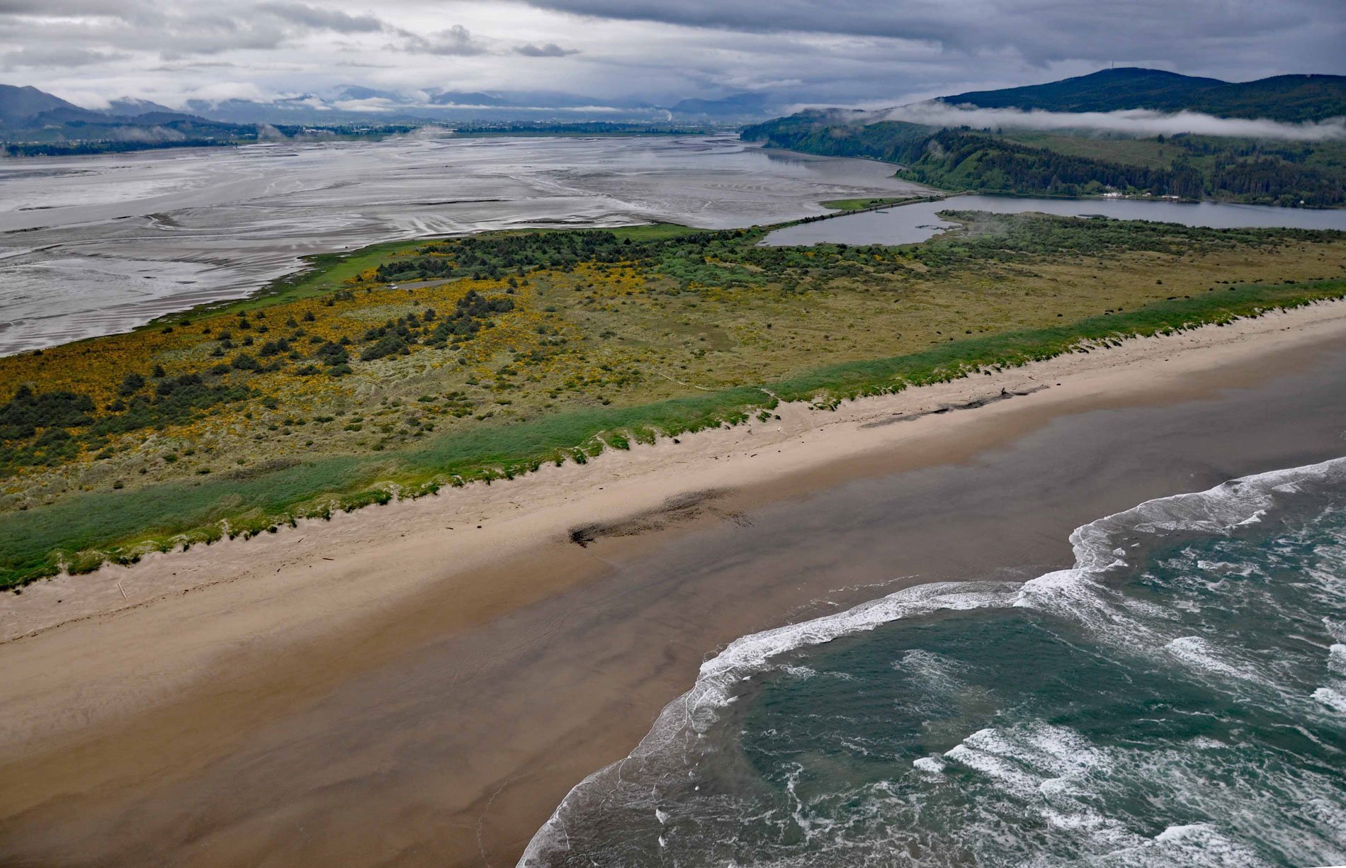
Bayocean was a planned resort community founded in 1906 on a sand spit 4 miles (6.5 km) long and 0.5 miles (0.8 km) wide, that separates Tillamook Bay from the Pacific Ocean, about 63 miles (102 km) west of Portland and 7 miles (11 km) northwest of Tillamook, Oregon. Bayocean had many features uncommon for a small town of its time, including a dance hall, a hotel with orchestra, a natatorium, a 1000-seat movie theater, a shooting range, a bowling alley, tennis courts, a rail system and four miles of paved streets.
Bayocean was not accessible by road or rail until the 1920s, and initially, residents and tourists arrived by steamship, a three-day trip from Portland. The entry into Tillamook Bay is notoriously difficult and eventually, Bayocean residents requested the U.S. Army Corps of Engineers for a protective jetty to reduce the waves. The Corps of Engineers recommended that two jetties be built, one on each side of the bay entrance to make the crossing safe and to protect against shifting sand, but the multimillion-dollar price was considered unaffordable. The compromise was a single jetty built on the north side in 1917. However, the one-sided change to the coastline began a process of beach erosion.
By 1926, the ocean had started undermining the foundation of the natatorium and in 1932, waves from a massive storm finally crossed the beach and destroyed the building. Severe erosion of the spit occurred during winter storms in 1939, 1942, 1948, and by 1952 Bayocean had become an island. In 1956, what little remained of the town was demolished during the reclamation and dike-building project of 1956. In 1960, the last Bayocean house washed away, and in 1971, the last remaining building, a garage, fell into the ocean. Read more here and here. Explore more of Bayocean here:

