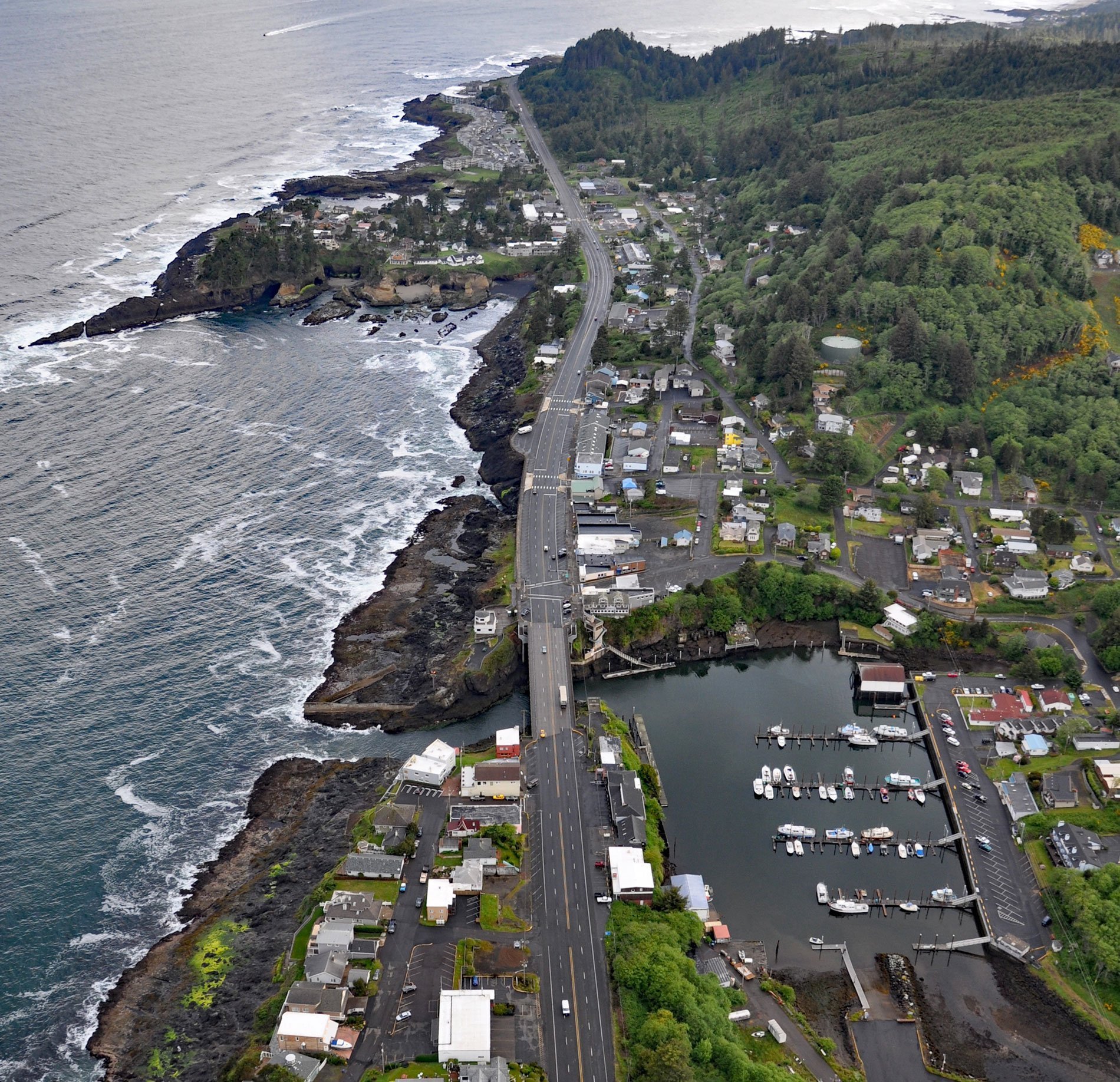
Depoe Bay is a community located on a small natural embayment with the same name, 11 miles (18 km) south-southwest of Lincoln City, and 12 miles (19 km) north of Newport, Oregon. The harbor is only 6 acres (2.4 ha) and is connected to the sea by a narrow chasm. Depoe Bay was named for Charles “Charley” DePoe, which may have originally been spelled Depot, who was allotted the land in 1894 as part of the Dawes Act of 1887. He was from the Tututni, a historic Native American tribe that traditionally lived along the Rogue River and its tributaries between the Coquille and Chetco Rivers.
The coastal rocks underlying the town and highway are volcanic basalts and sandstone. Depoe Bay Basalt is exposed along the shore and forms the wall that separates the inner harbor from the bay. The rock is a pillow basalt breccia formed in the middle Miocene by the sudden chilling of hot lava coming in contact with sea water. The very small and secure inner harbor is sandstone of the Astoria Formation eroded by stream erosion along North and South Depoe Creeks. Much of the shaping of this small basin occurred during the most recent Wisconsin glacial period when sea level was several hundred feet lower. At that time the passage through the wall was a gorge through which the ancestral Depoe Creek flowed.
Over time seawater has eroded blowholes, a common feature on many volcanic islands and along the Oregon coast. A blowhole or marine geyser is formed as sea caves erode and undercut overlying rock. Vertical shafts may develop as the roof of the sea cave erodes or collapses to expose the surface to air, creating a vent. Hydraulic compression of seawater entering the sea cave is released through the vent resulting in a marine geyser. The geometry of the cave and blowhole, along with tide levels and swell conditions, determine the height and volume of the marine geyser. U.S. Highway 101 was built through Depoe Bay along the ocean and is now protected from large waves by a seawall. However, on March 11, 2011, the port was damaged by a tsunami caused by the Tōhoku earthquake off the coast of Japan. Read more here and here. See a short video here. Explore more of Depoe Bay here:

