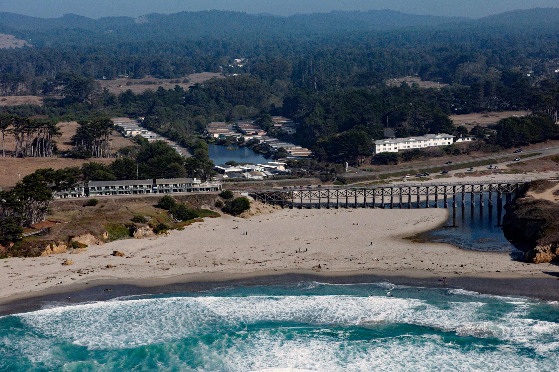
Pudding Creek is a small coastal watershed in Mendocino County that drains 18 square miles (4,662 ha) before entering the Pacific Ocean about 2.4 miles (3.9 km) southwest of Cleone and 1 mile (1.6 km) north of Fort Bragg, California. Pudding Creek is also the name of a historical community, formerly known as East Fort Bragg, that was located along the estuary and had a post office from 1870 to 1951. Today, nothing remains of East Fort Bragg except for the California Western Railroad, also known as the Skunk Train.
In the early 1880s, lumbermen C.R. Johnson, Calvin Stewart, and James Hunter joined together to expand timber operations in Mendocino County. By 1885, the Fort Bragg Railroad was formed to make transporting lumber easier. This would form the foundation of what would eventually become the California Western Railroad, known by the nickname “The Skunk”. The train played a vital role during this time in transporting families and workers who set up the various logging camps along the route and in doing so, became an entirely different type of line. It played an important role not only in the area’s industrial life but also in its social and cultural activities. The nickname “Skunk” originated in 1925 when self-propelled rail cars were introduced. These cars were powered by gasoline engines, and pot-bellied stoves burned crude oil to keep the passengers warm, but the exhaust smoke left a pungent smell along the rail line.
Pudding Creek provided water for the Union Lumber Company and is still crossed by a trestle bridge that once carried trains and logging trucks but is now open only to pedestrians and cyclists. The major tributary to Pudding Creek is Little Valley Creek. The entire watershed is privately owned and the dominant land use is timber harvesting. About three-quarters of the watershed is comprised of redwood conifer forests. A large portion of the watershed’s timber is in its third rotation and is managed for sustained production. The watershed also has approximately 900 residences. Coho salmon in the Pudding Creek basin are state and federally listed as endangered, and steelhead are federally listed as threatened. Preventing the extinction of coho salmon means restoring many key habitat attributes that are in poor condition. Read more here and here. Explore more of Pudding Creek here:

