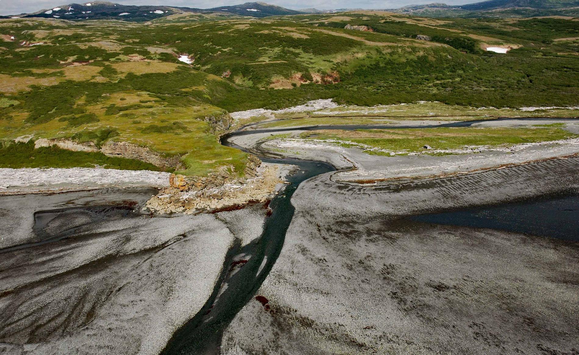
Amakdedori Creek drains a watershed of 17,781 acres (7,196 ha) on the eastern flank of the Aleutian Range and flows southeast for 10 miles (16 km) to Kamishak Bay, about 26 miles (42 km) southwest of Augustine Island, and 95 miles (153 km) southwest of Homer, Alaska. The creek was named after a historical Alaska Native camp called Amakdedori at the mouth of the creek that in 1905 consisted of two cabins. The camp was used by Iliamna Lake and Bristol Bay families from villages on the western flank of the Aleutian Range who hunted beluga whales and gathered shellfish in Cook Inlet. An ancient portage trail connected Amakdedori with Iliamna Lake and was used as a trade route between coastal and interior bands of Yup’ik, Alutiiq, and Sugpiak.
The Pebble Mine is a proposed project to extract copper-gold-molybdenum porphyry ore, also known as the Pebble deposit, from an open pit mine about 56 miles (90 km) northwest of the mouth of Amakdedori Creek. One proposed option is to export the ore from a port at the mouth of Amakdedori Creek where a permanent year-round facility would be constructed to allow the direct loading of mineral concentrate onto bulk carrier vessels for export, and the import of mining equipment and supplies by barges. The port would require a causeway extending to a marine jetty in 15 feet (4.6 m) of water depth, and a dredged channel for ships to safely access the loading berth on this dynamic stretch of coast known for its volatile weather and ocean conditions.
In 2010, several tribes in the Bristol Bay region petitioned the Environmental Protection Agency to stop the project from being built. The project was also under federal environmental review by the U.S. Army Corps of Engineers. In 2020, the Corps of Engineers denied a permit for the mine. On January 2023, the Environmental Protection Agency, after an extensive review of scientific and technical research spanning two decades and robust stakeholder engagement, issued a final determination. Under its Clean Water Act Section 404(c) authority, it was determined that the discharges of dredged or fill material associated with the development of a mine at the Pebble deposit in the Bristol Bay watershed will have unacceptable adverse effects on certain salmon fisheries in the Bristol Bay watershed. Read more here and here. Explore more of Amakdedori Creek and Kamishak Bay here:

